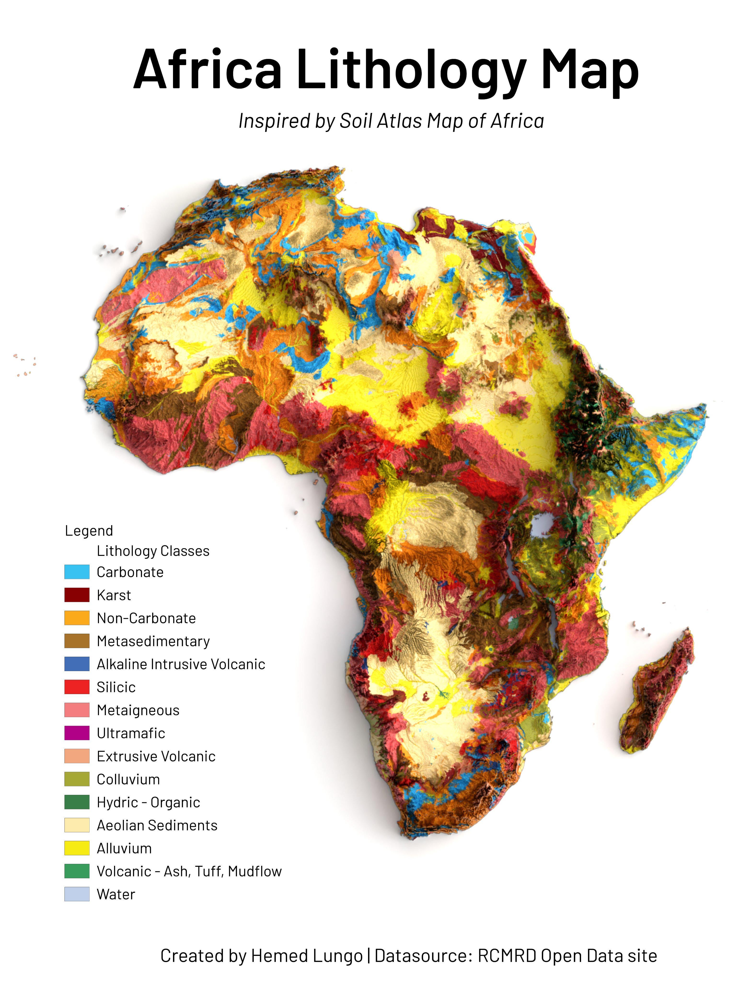
[OC]A Map🗺️Showing Lithology coverage of Africa Continent, Dataset is from @RCMRD_ ‘s Open Data site(Made Using Qgis and Blender)
Posted by hemedlungo_725
![[OC]A Map🗺️Showing Lithology coverage of Africa Continent, Dataset is from @RCMRD_ 's Open Data site(Made Using Qgis and Blender)](https://www.europesays.com/wp-content/uploads/2024/12/lmeavkxv359e1-1920x1024.jpeg)
[OC]A Map🗺️Showing Lithology coverage of Africa Continent, Dataset is from @RCMRD_ ‘s Open Data site(Made Using Qgis and Blender)
Posted by hemedlungo_725
1 comment
The hill shade makes it look so sexy! Slightly harder to read as is normal with increased data density but very intuitive and is useful information at a regional level.
Comments are closed.