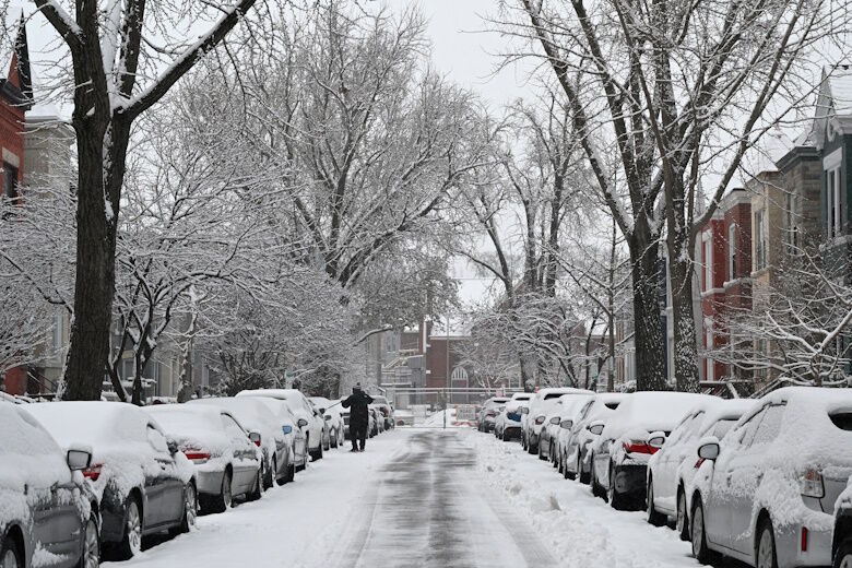
Conditions are shaping up for the D.C. area’s first notable snowfall of 2025 on Sunday night.
Conditions are shaping up for the D.C. area’s first notable snowfall of 2025 on Sunday night, with a chance the region could see several inches going into Monday morning.
“We have a good opportunity to see at least 3 inches of snow, if not more,” 7News First Alert Meteorologist Eileen Whelan said.
There will be mostly sunny skies and light winds Sunday, with temperatures hovering around 32 degrees. Clouds will arrive later in the evening, teeing up for snow chances.
“The cold air will be in place and the moisture will be there as well,” Whelan said, adding additional snow days could be possible.
The region could see a preview Friday afternoon as an arctic front moves through, bringing a rain and snow mix. Temperatures will reach the mid 40s.
Friday’s front “could bring us a quick coating of snow on maybe some of the grassy surfaces, but temperatures will be well above freezing,” Whelan said.
While heaps of snow aren’t expected Friday, D.C. Mayor Muriel Bowser is deploying the District Snow Team at noon Friday and crews in the city will begin treating roads with brine Thursday evening. D.C. is also encouraging residents and business owners to salt their sidewalks ahead of possible snowy weather.
The front will then bring freezing temperatures Saturday, with morning wind chills in the teens. Highs will reach the low 30s.
Here’s a look ahead at the weekend forecast.
FORECAST
THURSDAY EVENING: Partly cloudy
Temps: 30-38
Winds: West 5 mph
Wind Chills: 27-34
Easing winds with increasing clouds as we get ready for the next weather-maker Friday.
OVERNIGHT: Partly cloudy
Lows: 26-32
Winds: West 5-10 mph
Partly Cloudy and dry overnight.
FRIDAY: Mostly cloudy, chance of afternoon rain, snow from mainly 1 p.m. to 6 p.m.
Highs: 39-45
Winds: West 8-12 mph
Ahead of another push of cold air, highs for the day will reach the middle 40s. Latest guidance brings a chance for a wintry mix during the afternoon hours. Areas of rain, sleet, and snow will traverse across the DMV between 1-6 p.m. Temperatures will be above freezing when the moisture moves in, so plan for rain at the start in D.C. As colder air spills in, we could see a brief transition to sleet and snow. A coating of snow is possible on grassy areas, especially north and west of the district. Any lingering moisture could refreeze with temperatures rapidly falling below 32.
SATURDAY: Mostly sunny
Highs: 30-35
Winds: West 10-15, gusts to 30 mph
Arctic air settles in for the first weekend of 2025. Morning wind chills in the teens will give way to wind chills in the 20s during the afternoon.
SUNDAY: Mostly to partly sunny, cold
Highs: Around 32
Winds: Northwest 5-10 mph
Cold weather remains locked in place for the day under mostly sunny skies. Later in day, clouds will increase ahead of our next weather make which is likely to bring snow to region.
SUNDAY NIGHT INTO MONDAY: WINTER ALERT
The first snow of the season is looking more likely starting late Sunday night and continuing into Monday. It’s still too early to pinpoint accumulations, an inch or more of snow is likely at this point across parts of the mid-Atlantic, however, forecast trends continue to evolve.
CURRENT CONDITIONS
Get breaking news and daily headlines delivered to your email inbox by signing up here.
© 2025 WTOP. All Rights Reserved. This website is not intended for users located within the European Economic Area.