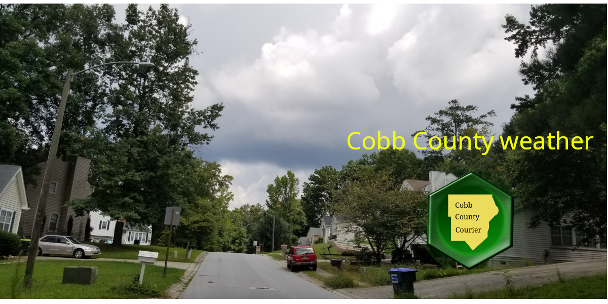
The National Weather Service forecasts cloudy skies here in Cobb County on Sunday, January 5, 2025, with a high near 47 degrees.
The National Weather Service has issued a hazardous weather outlook for Cobb County and other parts of the region due to a very brief potential that exists for light freezing rain in northwest Georgia through mid morning. Little to no accumulation is expected before changing over to rain, and impacts are not anticipated.
The hazardous weather outlook states that a strong cold front is moving into Georgia, which will result in sharp temperature drops by next Tuesday.

Current Conditions

35°F
overcast clouds
Wind Gust Wind Gust:
0 mph
Visibility Visibility:
6 mi
Bonus for the more weather-curious among you … To read an article about interpreting a weather news report with some of the typical terminology defined, follow this link.
What you will read in this article
The extended forecast for Cobb County
Last month’s climate summary for the metro Atlanta region
The climate almanac for metro Atlanta
What the National Weather Service is, and what it does
To read an article about interpreting a weather news report, with some of the typical terminology defined, follow this link.
What does the extended forecast have in store?
This forecast is centered on Dobbins Air Reserve Base in Marietta.
Today
A 40 percent chance of rain after 1 p.m. Cloudy, with a high near 47. Light east wind becoming southeast 5 to 10 mph in the morning. Winds could gust as high as 15 mph.
Tonight
A chance of rain before 7 p.m, then showers, mainly after 7 p.m. Temperature rising to around 52 by 4 a.m. Southeast wind 10 to 15 mph, with gusts as high as 30 mph. Chance of precipitation is 100 percent. New precipitation amounts between a half and three quarters of an inch possible.
Monday
A 30 percent chance of showers, mainly before 7 a.m. Cloudy, with a temperature falling to around 33 by 3 p.m. West wind 10 to 20 mph, with gusts as high as 30 mph.
Monday Night
Mostly cloudy, with a low around 23. Northwest wind 15 to 20 mph, with gusts as high as 30 mph.
Tuesday
Sunny, with a high near 39. Northwest wind around 10 mph, with gusts as high as 20 mph.
Tuesday Night
Clear, with a low around 22.
Wednesday
Sunny, with a high near 39.
Wednesday Night
Mostly clear, with a low around 20.
Thursday
Sunny, with a high near 39.
Thursday Night
Partly cloudy, with a low around 23.
Friday
A chance of rain and snow. Mostly cloudy, with a high near 40. Chance of precipitation is 30 percent.
Friday Night
A chance of rain and snow. Mostly cloudy, with a low around 30. Chance of precipitation is 50 percent.
Saturday
A 20 percent chance of rain. Mostly cloudy, with a high near 40.
What was the climate like in the latest reporting period?
The NWS climate summary for metro Atlanta has now been updated with December 2024 figures.
In an article entitled What is the Difference between Climate and Weather?, the National Ocean Service describes the difference as follows:
“Weather is what you see outside on any particular day. So, for example, it may be 75° degrees and sunny or it could be 20° degrees with heavy snow. That’s the weather.
“Climate is the average of that weather. For example, you can expect snow in the Northeast in January or for it to be hot and humid in the Southeast in July. This is climate. The climate record also includes extreme values such as record high temperatures or record amounts of rainfall. If you’ve ever heard your local weather person say “today we hit a record high for this day,” she is talking about climate records.
“So when we are talking about climate change, we are talking about changes in long-term averages of daily weather. In most places, weather can change from minute-to-minute, hour-to-hour, day-to-day, and season-to-season. Climate, however, is the average of weather over time and space.”
The climate report for the Atlanta area for the previous month shows how much departure from the average temperatures that month represents. The average temperature for a date is the average over a 30-year period.
DateHighLowAverageDeparture from NormPrecipitation2024-12-01553143-702024-12-02513241.5-8.302024-12-03453037.5-12.102024-12-04542740.5-8.902024-12-05583144.5-4.7T2024-12-06462435-1402024-12-07583044-4.802024-12-08623749.50.9T2024-12-096549578.60.342024-12-10686365.517.31.42024-12-1164385130.432024-12-12533242.5-5.302024-12-135937480.302024-12-145943513.502024-12-15514347-0.30.032024-12-166745568.902024-12-177450621502024-12-18735262.515.7T2024-12-19594250.53.802024-12-20593647.5102024-12-21473239.5-6.902024-12-22493039.5-6.702024-12-23503140.5-5.602024-12-24603246002024-12-25603748.52.702024-12-26524347.51.80.032024-12-275143471.40.392024-12-285547515.50.52024-12-2965556014.60.862024-12-30674656.511.302024-12-31724960.515.30
Climate Almanac for metro Atlanta
This almanac provides information on past climate conditions for January 5, allowing comparisons to current weather.
Simply put, it helps you see what the weather would typically be like on this day, according to historical data.
Daily DataObservedNormalRecord HighestRecord LowestMax TemperatureM5473 in 195028 in 1959Min TemperatureM3659 in 19503 in 1884Avg TemperatureM44.766.0 in 195018.5 in 1959PrecipitationM0.151.62 in 19660.00 in 2023SnowfallM0.10.1 in 19700.0 in 2024Snow DepthM–0 in 20240 in 2024HDD (base 65)M2046 in 19590 in 1950CDD (base 65)M01 in 19500 in 2024Month-to-Date SummaryObservedNormalRecord HighestRecord LowestAvg Max Temperature52.553.770.4 in 199728.2 in 1928Avg Min Temperature33.536.156.8 in 19979.8 in 1928Avg Temperature43.044.963.6 in 199719.0 in 1928Total Precipitation0.000.764.02 in 19360.00 in 2025Total Snowfall0.00.24.6 in 20020.0 in 2025Max Snow Depth0–3 in 20020 in 2025Total HDD (base 65)87101229 in 19289 in 1997Total CDD (base 65)008 in 20220 in 2025Year-to-Date SummaryObservedNormalRecord HighestRecord LowestAvg Max Temperature52.553.770.4 in 199728.2 in 1928Avg Min Temperature33.536.156.8 in 19979.8 in 1928Avg Temperature43.044.963.6 in 199719.0 in 1928Total Precipitation0.000.764.02 in 19360.00 in 2025Total Snowfall (since July 1)0.00.64.6 in 20020.0 in 2025Max Snow Depth (since July 1)0–3 in 20020 in 2025Total HDD (since July 1)82310911849 in 1977674 in 2016Total CDD (since Jan 1)008 in 20220 in 2025
Period of Record:
Max Temperature : 1878-10-04 to 2025-01-04
Min Temperature : 1878-10-04 to 2025-01-04
Precipitation : 1878-10-01 to 2025-01-04
Snowfall : 1928-12-25 to 2025-01-03
Snow Depth : 1928-12-25 to 2025-01-02
For much more information on the climate in our area, visit the NWS Climate FAQ for the Atlanta area.
What does the National Weather Service do?
The National Weather Service (NWS) is a part of the National Oceanic and Atmospheric Administration (NOAA).
The NWS describes its role as follows:
“The National Weather Service (NWS) provides weather, water, and climate forecasts and warnings for the United States, its territories, adjacent waters and ocean areas, for the protection of life and property and the enhancement of the national economy.
“These services include Forecasts and Observations, Warnings, Impact-based Decision Support Services, and Education in an effort to build a Weather-Ready Nation. The ultimate goal is to have a society that is prepared for and responds to weather, water and climate events.”