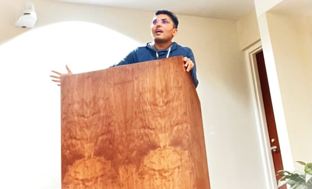
Kirti’s professional journey reflects a commitment to enhancing urban infrastructure design by leveraging advanced solutions such as the ArcGIS JavaScript API, Oracle Spatial, and AI/ML integrations. His contributions have enabled city planners to analyze complex spatial data, optimize infrastructure placement, and enhance decision-making processes. From cost-saving optimizations to scaling urban projects, his work underscores the immense potential of geospatial technologies in creating smarter, more efficient cities.
