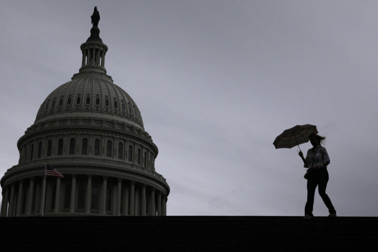
Residents across the D.C. region won’t be gifted the sights of a sunny day this Sunday. Instead, the day will bring wind and the potential for severe storms.
Residents across the D.C. region can expect heavy rain, blustery winds and the potential for severe storms on Sunday.
The National Weather Service has issued a hazardous weather outlook for much of the region, as forecasts have laid out the possibility for severe thunderstorms to strike the area.
There’s also a wind advisory in effect until 4 p.m., with NWS warning gusts could reach up to 50 mph. Those high winds could lead to some power outages and make it harder to safely drive oversized vehicles.
7News First Alert Meteorologist Mark Peña told WTOP that the strong system blowing into the area would bring with it widespread showers and embedded thunderstorms that “could be on the strong to severe side.”
“It definitely feels like it’s going to storm out there with mild and muggy conditions,” said 7News First Alert Meteorologist Jordan Evans. “Everyone will get some heavy rain at some point.”
The rainfall — which will be anywhere from a half-inch to 1 inch — will start after noon and continue through the early evening. Flooding isn’t expected “due to the ongoing drought conditions,” according to Evans.
He added that there will be a second round of storms later in the evening, especially north and west of D.C. Temperatures there could reach 70.
Even though everyone won’t get severe weather, it’s important to be prepared and have a way to seek shelter just in case the storm worsens.
Gusty wind could lead to downed trees, branches on the ground and severed power lines, according to NWS.
Hail is also a weather-related threat Sunday.
“Especially west of I-95 there could be some damaging winds and even an isolated tornado or two,” Evans said. “Hail up to the size of quarters can’t be ruled out.”
Outside of the D.C. metro region, the National Weather Service issued a tornado watch for parts of the Blue Ridge — parts of Maryland, Virginia, West Virginia and Pennsylvania.
But, the rainy weather won’t stick around for too long. The storms should end by midnight and temperatures will fall in the 50s.
Come Monday, there will be a slight chance for morning rain as the sun works to peak through the cloud coverage for much of the day. It will be breezy, “with cooler temperatures around 55 degrees,” Evans said.
By Tuesday, it’ll be all about the sunshine and temperatures bobbing as high as the low 70s. The good weather will stick around for a bit longer, rolling into Wednesday.
FORECAST
SUNDAY: STORM ALERT
Warm, Windy, PM Strong Storms
Highs: 68-73
Winds: South 15-25 mph
Gusts: 35-45 mph
A strong weather-maker moves through the region with mild temperatures, gusty winds, heavy rain and the risk for isolated severe storms. The main severe weather threat is damaging winds in the strongest storms as a line moves through the D.C. Area during the late afternoon. An isolated tornado or two is possible. Rain totals range from half and inch to one-inch. The cold front should move through before midnight, which will bring in colder air and drier conditions for Monday.
SUNDAY NIGHT:
Rain Ends
Lows: 46-52
Winds: North 10 mph
Rain should end around midnight, clouds will remain as winds begin to change direction out of the northwest.
MONDAY:
Decreasing Clouds
Highs: 50-55
Winds: Northwest 10-20 mph
A leftover shower or two is possible in the morning, otherwise clouds will decrease and winds will stay breezy throughout the afternoon.
TUESDAY:
Sunny
Highs: 64-67
Winds: North 5 mph
A beautiful spring-like day with temperatures in the middle 60s and a light north wind.
WEDNESDAY:
Partly Cloudy
Highs: 65-70
Winds: South 10 mph
Temperatures climb even more to the low 70s under partly cloudy skies and south winds around ten miles per hour.
CURRENT CONDITIONS
Get breaking news and daily headlines delivered to your email inbox by signing up here.
© 2025 WTOP. All Rights Reserved. This website is not intended for users located within the European Economic Area.