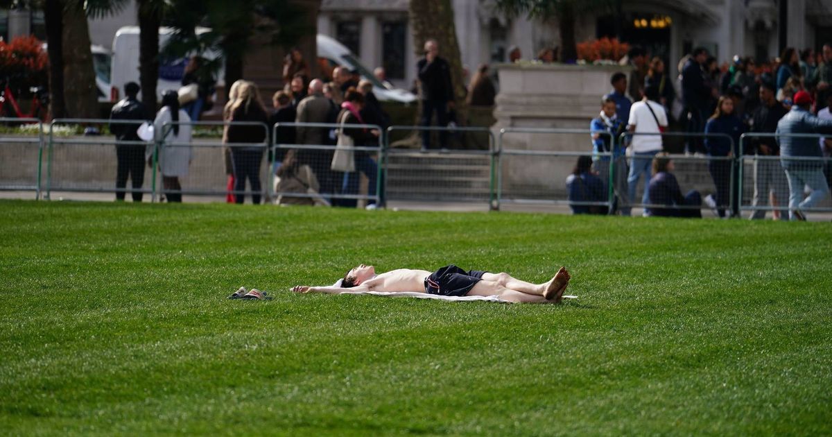
 The UK will officially be warmer than Greece in the next few days, according to forecasters(Image: PA)
Parts of the UK are predicted to be warmer than Greece on Wednesday, with temperatures expected to reach 18C.
This pleasant weather is set to mirror the sunny days experienced this week, including Thursday – the warmest day of the year so far. However, it’s believed that temperatures will dip again over the weekend, dropping to as low as 6C in County Tyrone, Northern Ireland, and 8C in Suffolk.
Rainfall, particularly heavy across south Wales and parts of the Midlands on Saturday night, is also set to disrupt the recent spell of warm and dry weather.
Nonetheless, a new wave of high pressure from the Atlantic is forecasted to cause temperatures to rise once more, peaking next Wednesday. Highs of 18C are expected across Southeastern England, including London, and Eastern England.
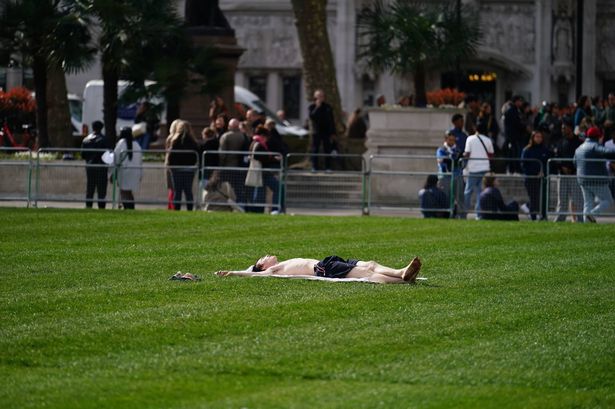
 The UK is set to bask in balmy sunshine next week as temperatures climb to 18C(Image: PA)
Even as far north as Doncaster, South Yorkshire, temperatures are predicted to reach at least 16C, according to forecasters at Ventusky, reports the Mirror.
This means that most of the UK will enjoy a particularly pleasant day, warmer than some areas of Greece. Weather maps suggest that Greece will experience rainfall, especially in Larissa, on Wednesday, while only northern Scotland is expected to see showers in the UK.
Ventusky predicts temperatures of around 15C for most of Greece on Wednesday, with lows of 12C in the south of the country, including on the island of Syrna. Even Ioannina, a popular tourist destination, isn’t expected to see temperatures higher than 14C throughout the day.
The rain is set to move east across Greece, with forecasters warning of heavy downpours hitting Athens in the afternoon. The weather could also turn thundery in the Epirus region.
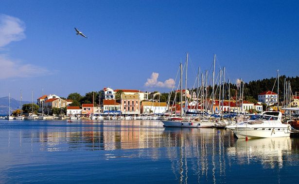 The UK will be warmer than Greece next week in a welcome return of Spring
In contrast, most of the UK looks to sidestep showers on Wednesday and continue this trend for the majority of the following week. Meteorologists remark that March has been unusually dry and expect the month to conclude on a similar note.
This weekend’s light rain will persist into Monday, where temperatures are likely to hover at a cool 13C in most places.
Brighter skies are on the horizon once the low pressure shifts southeast towards The Netherlands and Belgium, bringing an improvement in conditions. With the arrival of high pressure, thermometers are set to rise, heralding a remarkably mild conclusion to the week.
By Thursday, areas like Cambridgeshire and Lincolnshire might experience highs of 17C.
However, the Met Office cautions that as we transition from March to April, we may witness the revival of changeable weather. In their online forecast for the start of April, they predict: “Initially, a dry interlude is likely with spells of sunshine across many areas. With time, these drier conditions will become more favoured across the south. Further north and northwest, there is a greater chance of rain or showers at times, these accompanied by windier spells and a chance of gales for parts of the far northwest.
“There is a small chance that these wetter, more unsettled conditions could become more widespread for a time. Temperatures will probably pan out close to average overall, though chilly nights remain possible where clear skies coincide with light winds.”