This leads to the obvious question: Why Finland as metric for population size?
An interesting version of this map would be color it according to the number of Finlands in each state, rounded to the nearest integer.
You could also make Finland’s population density as a basis unit, say FDP, and have a map showing the number of FDPs in each state. That would likey give a somehwat different coloring.
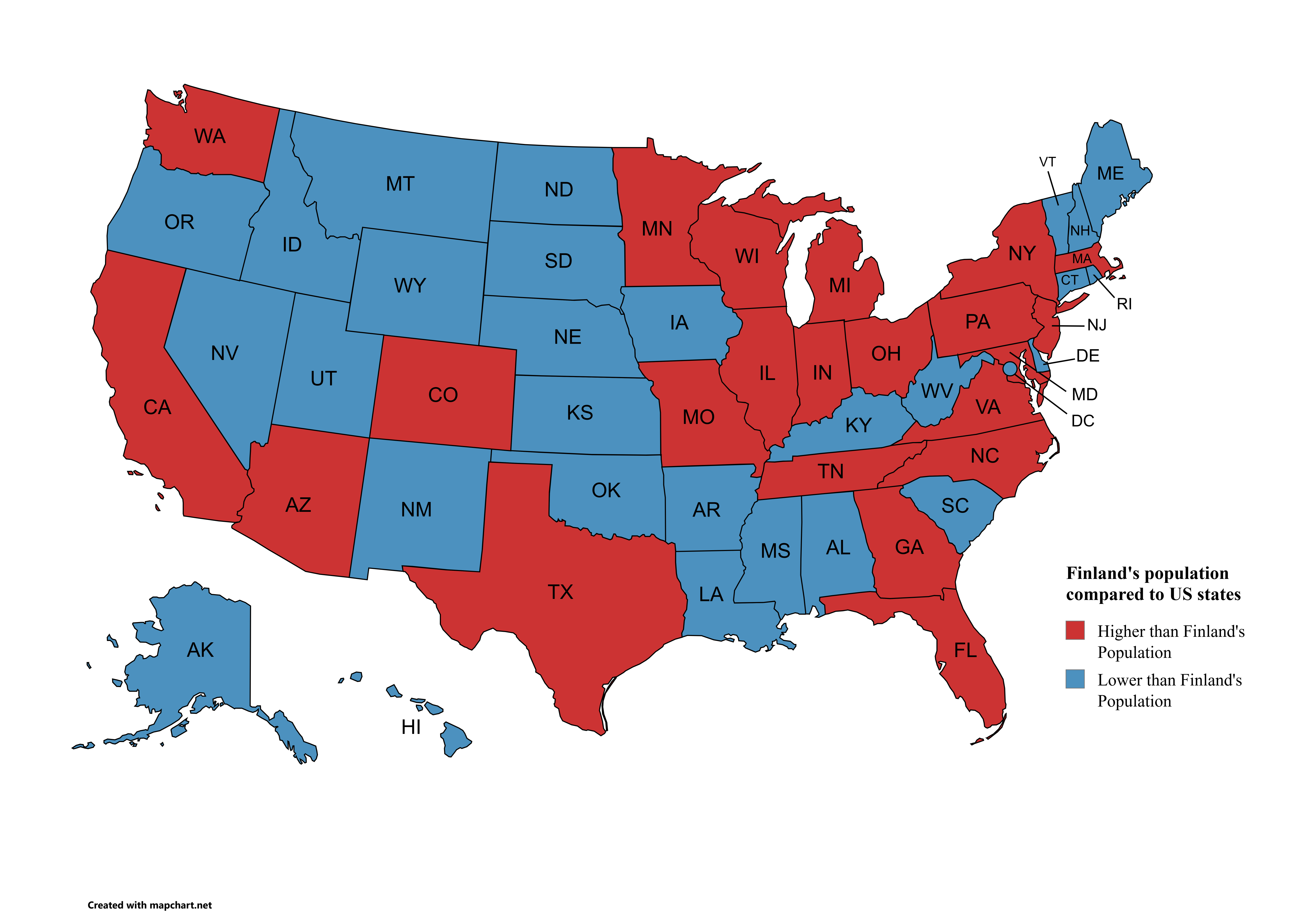
![My first map [OC]](https://www.europesays.com/wp-content/uploads/2025/04/9tvpwvci7pte1-1920x1024.png)
4 comments
Tools used [mapchart](https://www.mapchart.net/)
Data source [www.britannica.com](https://www.britannica.com/topic/largest-U-S-state-by-population)
Nightmare inducing election results 2028
Is there a myfirstmap sub?
This leads to the obvious question: Why Finland as metric for population size?
An interesting version of this map would be color it according to the number of Finlands in each state, rounded to the nearest integer.
You could also make Finland’s population density as a basis unit, say FDP, and have a map showing the number of FDPs in each state. That would likey give a somehwat different coloring.
Comments are closed.