Hey everyone!
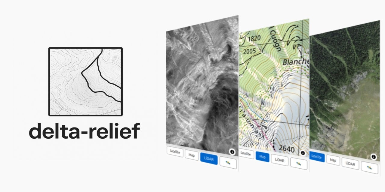
I'm working on delta-relief, an open-source project that highlights hidden features in Swiss terrain — like ancient roads, ruins, and other archaeological traces from LiDAR data.
I'm building a list of interesting places and would love your help! Know any cool historical or archaeological sites in Switzerland that show up well in relief maps (e.g. Roman roads, medieval ruins, glacier traces)??
Drop them here (a link with some description), or contribute directly on GitHub.
The map can be accessed directly at https://lidar.cubetrek.com
by folli
4 comments
A very interesting project that I will definitely follow.
Fun fact: The Roman camp on Colm la Runga is exactly the same distance from the camp on the Septimer Pass to the south as it is from the Roman vicus in Chur to the north (as the crow flies).
Edit: [Map](https://forum.archaeologie.online/uploads/default/optimized/3X/6/d/6df008b8c92c3a481571096de40dcc22f517622f_2_1035x616.jpeg) [The distances were measured from the centre of each camp. Yet the best look-out point on Colm la Runga is on the northern edge, from where it is 24.2 kilometres to the north and south respectively.]
Please let me zoom out fully on the lidar map, very annoying to pan long distances!
Sternenschanze in Richterswil: https://lidar.cubetrek.com/?coords=694970,228071
I think this would be the location of XIII century monastery Mariaberg: https://lidar.cubetrek.com/?coords=680915,239213
[https://lidar.cubetrek.com/?coords=649537,264568](https://lidar.cubetrek.com/?coords=649537,264568)
old road (“alti Chilegass”)
Comments are closed.