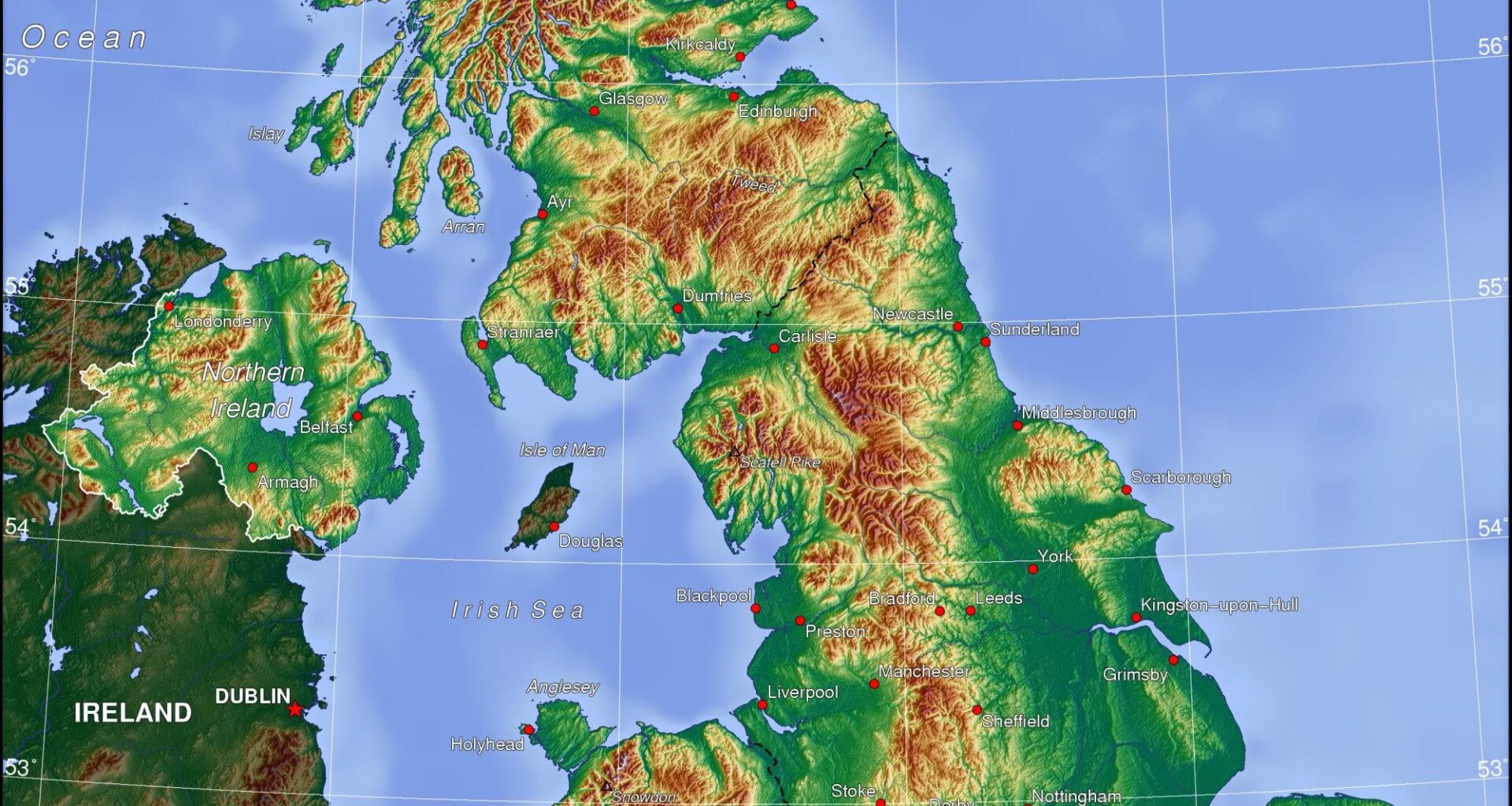
I've always loved browsing through swisstopo's endless collection of fascinating maps. Today I actually needed an elevation map for a project and I am really surprised to not find one. elevation maps are pretty much one of the most basic map types, so am i just blind or does swisstopo really not have an elevation heatmap?
something like this:
https://help.locusmap.eu/public/attachments/2852ae03942183bfa77704e6d34a4a71.jpg
by Timo2727

2 comments
Basically all the maps have height represented under [contour lines](https://en.wikipedia.org/wiki/Contour_line). Because that allows you to have better information. And this has been the standard since the Siegfried map in 1926, the Dufour maps before were using shading.
MapPlus has one . [https://ch.mapplus.ch/?lang=en&basemap=leer&blop=1&x=2629139.212414403&y=1172719.9998384004&zl=1&hl=0&layers=reli_color_gb&op=0.6](https://ch.mapplus.ch/?lang=en&basemap=leer&blop=1&x=2629139.212414403&y=1172719.9998384004&zl=1&hl=0&layers=reli_color_gb&op=0.6)
Hope that helps.
Or you can make your own based on the digital elevation data. The simplest is DHM25/200m [https://www.swisstopo.admin.ch/de/hoehenmodell-dhm25-200m#DHM25-/-200m—Download](https://www.swisstopo.admin.ch/de/hoehenmodell-dhm25-200m#DHM25-/-200m—Download)
Comments are closed.