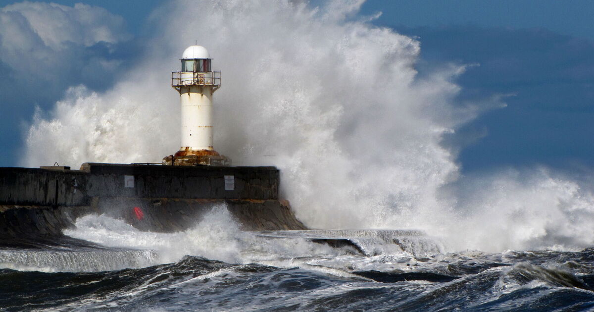
A massive 358-mile storm is likely to sweep parts of the UK and Ireland as the latest weather maps turn orange, indicating the possibility of unsettled conditions. WXCharts weather maps show that a giant storm will hit the country from the Atlantic on July 1.
The maps, which are prepared using the MetDesk data, show that the storm will enter from Cork in Ireland and will swiftly move to the UK, covering the areas around Manchester. The stormy conditions come as parts of Britain will be soaked under glorious sunshine with temperature levels rising to 35C in areas around London on June 30.
According to the weather maps, the worst-impacted areas include Cork, Dublin, Belfast in Ireland, and Manchester, Stoke Liverpool, Leeds in the UK.
However, the temperature levels will continue to stay in the double digits with some areas in England even sweltering at 32C, the maps have suggested.
The unsettled weather maps come days after the UKHSA issued a rare amber heat-health alert for many parts of the UK.
According to the Met Office, parts of the UK may experience 34C on Saturday as the authorities warn of “a rise in deaths” among people with pre-existing health conditions and those aged over 65.
The Met Office’s long-range forecast between June 24 and July 3 reads: “Rather changeable conditions are anticipated through this period, as a series of Atlantic low pressure systems pass largely to the northwest of the UK.
“These will tend to bring some occasional rain or showers, most frequent in northwestern areas where it may also be rather breezy or windy at times.
“Whilst some rain or showers will be possible farther south and east, here longer drier spells are more likely, under the influence of higher pressure.
“There is also the chance of some occasional very warm weather, as south or southwesterly winds allow brief bursts of hotter air to encroach from the continent, but probably fairly short-lived and perhaps also accompanied by a few thunderstorms at times.”