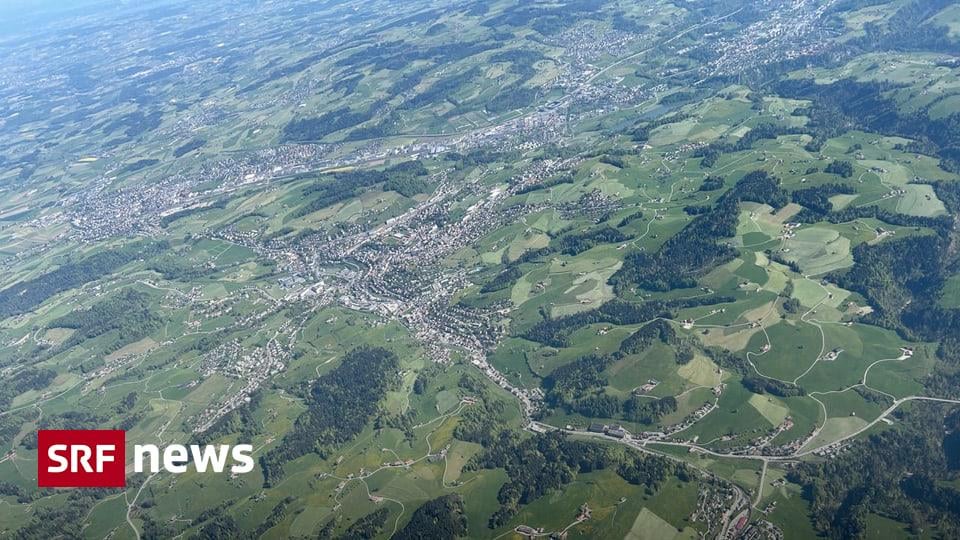
Better than Google – Swisstopo photographs every detail of Switzerland | Even in the age of satellites and drones, the national surveyors photograph a third of Switzerland every year.
by BezugssystemCH1903
Better than Google – Swisstopo photographs every detail of Switzerland | Even in the age of satellites and drones, the national surveyors photograph a third of Switzerland every year.
by BezugssystemCH1903
4 comments
Very nice topic, also because I deal with the free basic data from Swisstopo on a daily basis.
Base map:
https://map.geo.admin.ch
Terrain data:
https://www.swisstopo.admin.ch/de/hoehenmodell-swissalti3d
3D buildings:
https://www.swisstopo.admin.ch/de/landschaftmodell-swissbuildings3d-3-0-beta
The converter to convert reference systemCH1903 to 1903+.
https://www.swisstopo.admin.ch/de/koordinaten-konvertieren-reframe
This is a lot more practical than before, as there is no need to survey on site during the project planning phase.
Living in a rural area, Google is ridiculously out of date, both photos and maps.
SwissTopo is amazing. I’ve been able to code crazy things using this data. All thanks to taxes and public services.
We shouldn’t defer everything to American companies. Sovereign ownership matters.
There was a deadly car accident near me a few years ago. It came up in a discussion and I didn’t remember when it was.
Couldn’t find it with normal web searching. map.geo.admin.ch to the rescue. Among tons of other data it has traffic accident data, based on type, location and timeframe. Since I knew the exact location the question was soon answered.
Comments are closed.