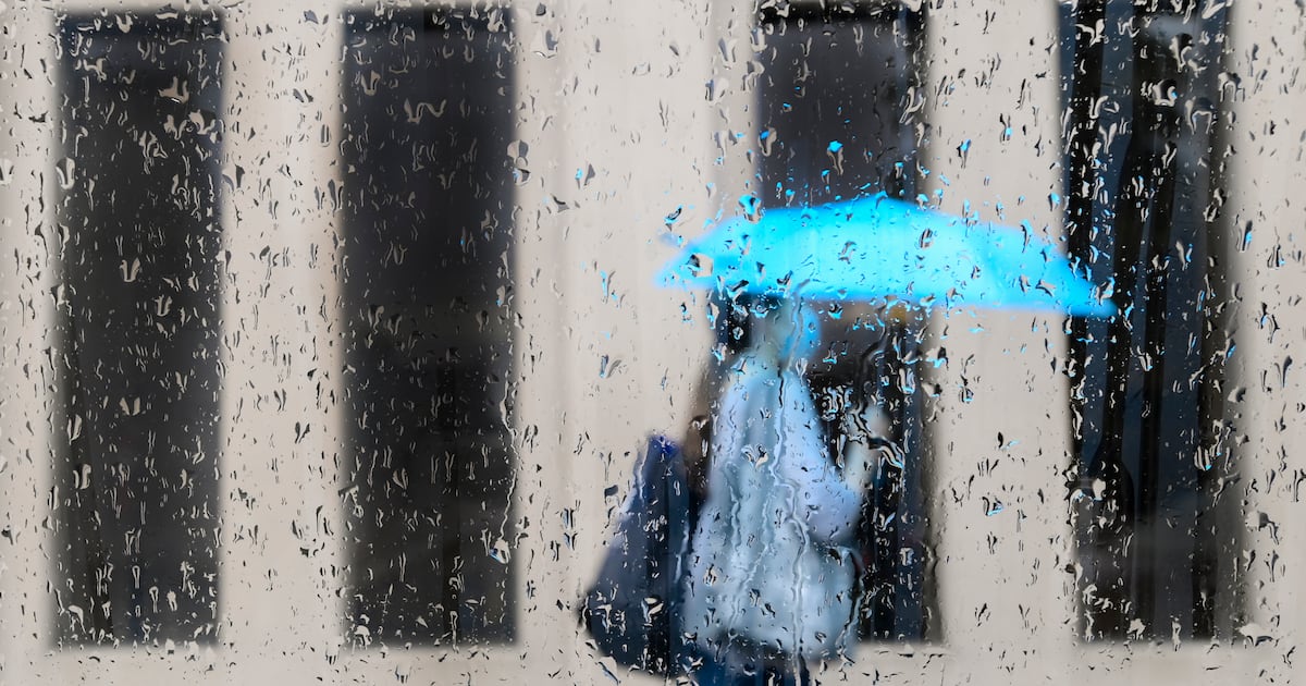
Toronto is under a “severe thunderstorm watch” as Environment Canada warns of potentially dangerous weather, including torrential rain, hail and damaging wind gusts.
“Slow moving showers and thunderstorms are expected to bring heavy rain into this afternoon,” the agency said late Sunday morning. “Hail and strong wind gusts are also possible.”
Officials say hazards could include rainfall amounts of up to 50 mm in some areas, hail up to the size of a nickel, and strong winds capable of damaging trees, property, or even overturning vehicles.
“Lightning kills and injures Canadians every year,” Environment Canada cautioned. “When thunder roars, go indoors!”
The storms are expected to continue with the risk of flash flooding and reduced visibility.
Emergency Management Ontario is advising residents to take cover immediately if threatening weather approaches and to avoid driving through flooded roadways.
Police warn of ‘water pooling’ on DVP
Toronto police also issued a warning just after 10:30 a.m. about “water pooling” on the Don Valley Parkway near the Gardiner Expressway. Drivers were urged to use caution and consider alternate routes, as lane restrictions were in effect.
This marks the second concurrent weather warning for the city.
Environment Canada’s heat warning — the third since late June — also remains active and is expected to continue through Thursday.
Daytime highs are forecast between 29 C and 32 C with humidex values approaching 40.
The hottest day is expected to be Tuesday officials warn, with cooler temperatures unlikely to arrive until late in the week.
This is a developing news story, more details to come…