The Defense Department and NOAA will continue sharing satellite weather data, crucial for accurate forecasts and public safety.
WASHINGTON, D.C., USA — The Department of Defense announced Tuesday that it will continue sharing satellite weather data, reversing a decision made earlier in the year.
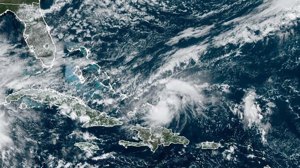
The satellite data is used by meteorologists across the nation to predict and research weather patterns. A halt in satellite weather data sharing would have severely undermined the accuracy of forecasts, experts say, reducing lead times for warnings and increasing risks to public safety.
“Without those pictures and loops, we would only know the immediate weather situation being picked up by the radar,” said 5 On Your Side meteorologist Tracy Hinson.
Earlier this week, Colorado Sens. John Hickenlooper and Lisa Murkowski wrote a letter to Defense Secretary Pete Hegseth and acting National Oceanic and Atmospheric Administration (NOAA) Administrator Laura Grimm asking for a reversal on the decision and expressing the data’s importance.
“Satellites have provided critical weather and environmental data for decades, supporting both civilian and military operations,” the senators said. “This abrupt action – for which no rationale was provided – raises serious questions about the potential impacts on our nation’s weather forecasting capabilities.”
The threat of discontinuation was first mentioned back in June, following employment cuts to the National Weather Service. The Trump Administration planned to stop the sharing of data as of July 31, 2025. The timing worried forecasters and researchers as there would be a gap in data availability ahead of the peak Atlantic hurricane season.
“Radar imagery barely makes it out to the coast and certainly doesn’t cover the ocean with any accuracy,” Hinson said.
However, satellite data is useful year-round, not just during hurricane season.
Satellite weather data is crucial and works hand in hand with radar data during severe storm season. Satellite data gives forecasters key indicators of how severe a storm is forming and the strength it has.
This technology is what gave Missouri meteorologists an early heads up on the May 16 tornado earlier this year.
Amidst the rise in catastrophic floods, it is important to note the role of satellite imagery in dealing with flooding events.
NOAA satellites are also used to create flood zone maps that assist emergency responders and government officials in making life-or-death decisions during floods and in determining when it is safe for inhabitants to return.