Snow could fall this week in every Australian state and territory except the Northern Territory, according to Weatherzone.
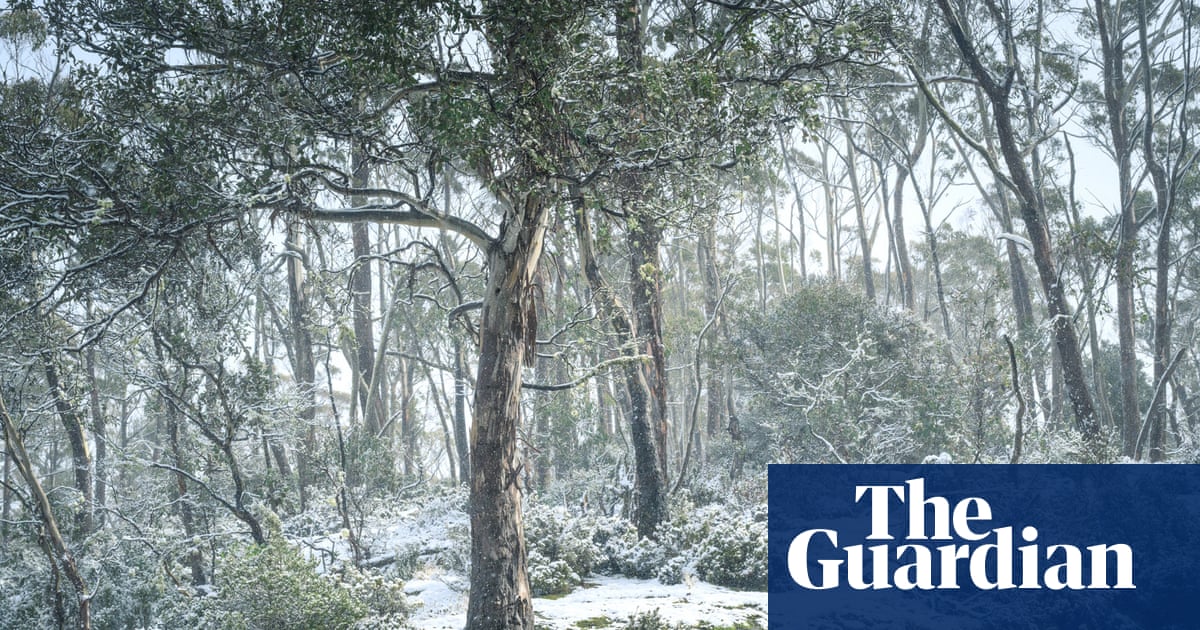
After a weekend of heavy snow in the alpine regions of New South Wales, Victoria, Tasmania and the Australian Capital Territory, a cold air mass has settled over Australia’s south-east. On Thursday, light snow showers were occurring above 1,000 metres.
Snow fell on Western Australia’s 1,099-metre-tall Bluff Knoll in the Stirling Ranges – about 350km south of Perth – overnight on Sunday, Weatherzone said.
The Flinders region of South Australia could be next on the snow list, Weatherzone said, predicting light snow showers on Thursday and Friday for areas above 1,100 metres.
Snow showers in southern Queensland were forecast on Saturday in zones higher than 1,200 metres in the ranges near the New South Wales border.
Sign up: AU Breaking News email
The Bureau of Meteorology meteorologist Angus Hines said cold temperatures combined with rain across the east coast had produced conditions for snow in high elevation areas in NSW.
On Wednesday, the bureau’s weather station at Sydney Olympic Park recorded a maximum of 12.1C – the station’s lowest maximum temperature this July.
Sydney’s maximum temperature on Thursday had risen to between 15C and 16C, but Hines said the wind chill factor was making it feel colder.
Sheep in the central highlands of Tasmania. Photograph: Joy Kachina
A similar weather pattern was likely to continue for NSW into the weekend, Hines said, and cold temperatures and showers were forecast across south-east Australia.
Hines said more snow could fall on Thursday and Friday across the north-eastern ranges of Victoria and NSW, the Snowy Mountains, the southern and central tablelands, the Barrington Tops, the Hunter region and northern NSW.
There was also a chance of snow in Queensland this weekend in the Stanthorpe area on the Granite Belt, near the NSW border, Weatherzone said.
skip past newsletter promotion
Sign up to Breaking News Australia
Get the most important news as it breaks
Privacy Notice: Newsletters may contain info about charities, online ads, and content funded by outside parties. For more information see our Privacy Policy. We use Google reCaptcha to protect our website and the Google Privacy Policy and Terms of Service apply.
after newsletter promotion
Parts of NSW, particularly the mid north coast and Hunter regions, were also braced for heavy rain over the next 24 hours.
A severe weather warning, including for floods, could be issued between Sydney and Port Macquarie, Hines said.
On Thursday, Hines said up to 61mm of rain had fallen on Sydney, the Illawarra and Hunter coasts in the past 24 hours.
“It’s not enough to get us worried about major flooding, but certainly enough to drench everything, get those puddles going, make it pretty difficult to get washing out on the line and probably slow down traffic,” he said.