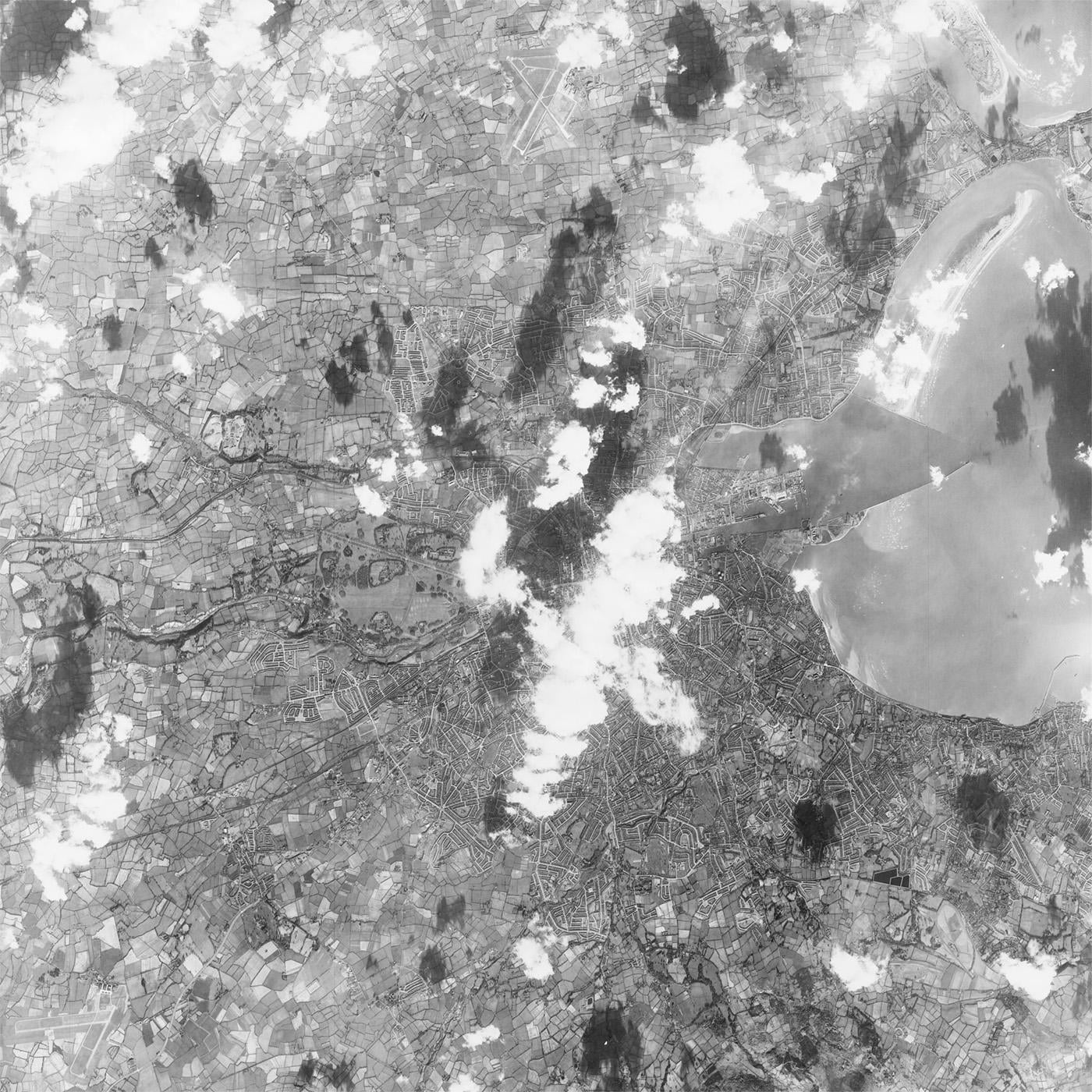
Declassified US KH-7 spy satellite photograph of Dublin, Feb 1966. This website overlays the photo on googlemaps. The transparency can be adjusted and the sharpness is decent when you zoom in.
by Same_Ambassador_5780
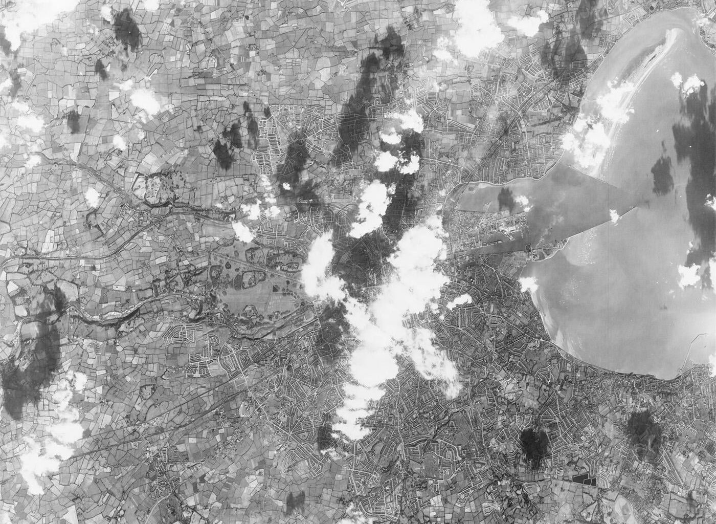
Declassified US KH-7 spy satellite photograph of Dublin, Feb 1966. This website overlays the photo on googlemaps. The transparency can be adjusted and the sharpness is decent when you zoom in.
by Same_Ambassador_5780
8 comments
Stunning resolution for 1966, my old man is down there living life as a kid. It’s interesting how much the place has developed. For instance, the railway lines around what is now the IFSC.
Really cool picture, they’re literally building my road in the picture haven’t made it to my house yet
Tallaght looks class. You have St. Maelruain’s Park and Bancroft estates and that’s it. Wild!
Check out the Walkinstown Roundabout!
Nice one, OP!
My mam was twelve when this photo was taken. She would have been working full time in a factory gutting fish at that stage.
So many fields. Ballyfermot was Bally far out
Thanks for that, really cool comparing it with current images!
Mental how much the city’s grown, entire swathes of the city that to me have always existed are remote farmland here. My entire suburb just doesn’t exist yet
Dublin, in the rare old times….
So we were being spied upon by the Americans?
Shouldn’t we be saying something about sovereignty?
Comments are closed.