
 Glorious sunshine is expected this week(Image: PA)
Britain will be hotter than Portugal as a 300 mile-wide ‘continental heat bubble’ blows in – sparking a 25C sunny delight for the Bank Holiday weekend.
But the strongest early season hurricane for almost 20 years is set to follow, threatening a wild end to summer. Heat from Europe will see the mercury rocket to 28C tomorrow (TUE) making it warmer than Porto which will see just 26C. Even northern England will enjoy 26C.
The glorious sunshine and dry skies will carry on until the long weekend, with 25C highs boosting Notting Hill Carnival, festivals and staycations. But remnants of 160mph Hurricane Erin, the strongest Category 5 storm in August since 2007, are set to bring wet and windy conditions from Bank Holiday Monday for parts of the North and West.
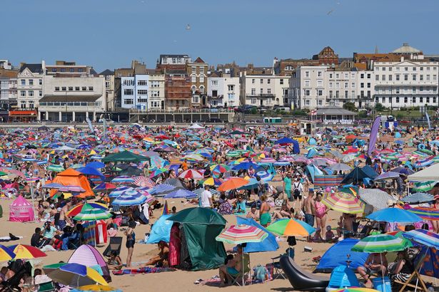 Brits can enjoy the beach over the bank holiday(Image: PA)
The giant cyclone is currently growing in size and barrelling towards the Caribbean.
More soggy Atlantic low pressure systems are poised to follow, although Erin could suck some warmth from the continent to the South.
A Met Office forecaster said: “There will be sunny spells, with the warmest conditions in the West to start the week.
“After a cooler couple of days, widely fine and dry conditions and increasing temperatures are then expected.
“But a deep area of low pressure linked to Erin is likely to develop in the North Atlantic, with the final week of August possibly seeing Atlantic systems progress over the UK, especially in the North and West.
“There is a small chance of widely wetter and windier weather.”
 Remnants of 160mph Hurricane Erin are set to bring some wet weather in the north
The Weather Outlook forecaster Brian Gaze said: “It will often be dry in the South and East for the Bank Holiday weekend, with possibly warm temperatures – but a chance of some wet spells in the North and West.”
Netweather forecaster Nick Finnis said: “Remnants of Hurricane Erin are forecast to bring a change to unsettled conditions for parts of the UK late in the Bank Holiday weekend.”
However, disruptive conditions are expected to begin on August 27, with forecasts suggesting that the heaviest rainfall will hit the East Midlands and southern Scotland.
The WXCharts weather maps show that the only areas predicted to miss out on the wet weather are Aberdeenshire, Somerset, Middlesex, Kent, Essex, Suffolk, Norfolk and Cambridgeshire.
Although the rainstorm will mark a departure from the hot and sunny weather, it is only the latest changeable pattern recorded this summer, which has been marked by sweltering highs and disruptive deluges.
For the latest breaking news and stories from across the globe from the Daily Star, sign up for our newsletters.