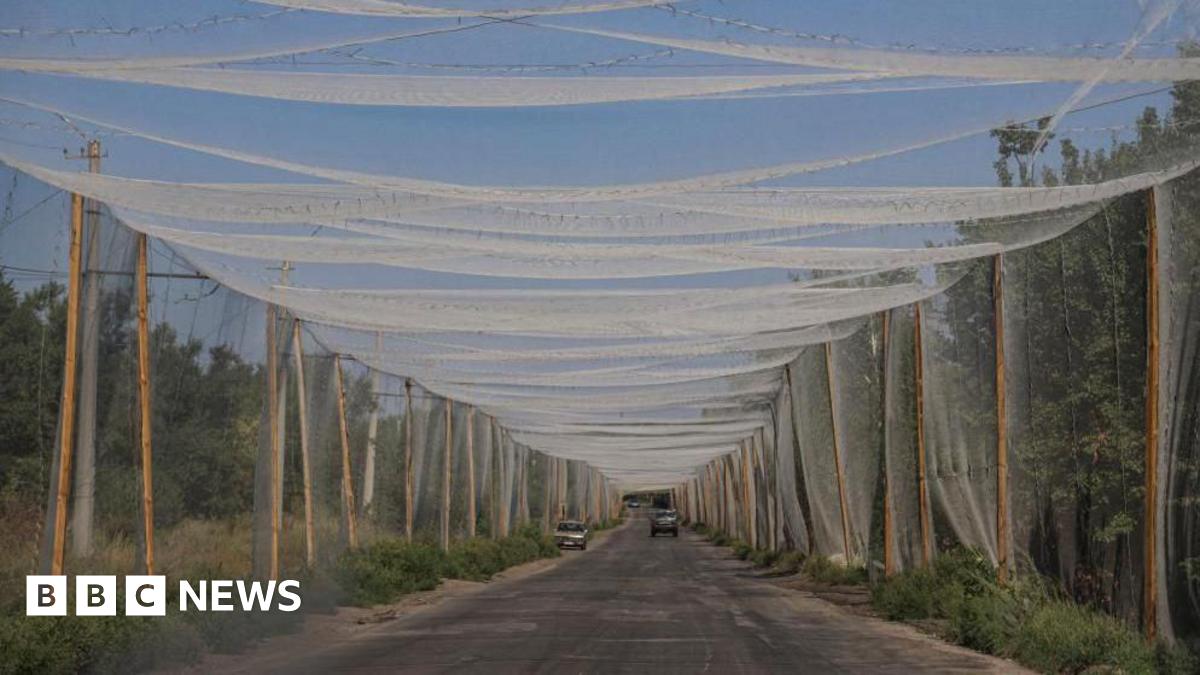
A recent report by the US-based Institute for the Study of War, external (ISW) describes a “fortress belt” running 50km (31 miles) through western Donetsk.
“Ukraine has spent the last 11 years pouring time, money, and effort into reinforcing the fortress belt and establishing significant defense industrial and defensive infrastructure,” it writes.
Reports from the region speak of trenches, bunkers, minefields, anti-tank obstacles and barbed wire.
Russian forces attacking in the direction of Pokrovsk “are engaged in an effort to seize it that would likely take several years to complete”, the ISW argues.
Fortifications are certainly part of the Ukrainian defence but so is the topography.
“The terrain is fairly defensible, particularly the Chasiv Yar height which has been underpinning the Ukrainian line,” Nick Reynolds, Research Fellow for Land Warfare at the UK-based Royal United Services Institute (Rusi), tells BBC News.
However, he adds: “If you look at the topography of the Donbas, eastern Ukraine in general, overall the terrain doesn’t really favour the Ukrainians.”
“The city of Donetsk is high ground. It’s all downhill as you go west, which isn’t great for the Ukrainians in terms of running defensive operations.
“That’s not just about drawing in for the close fight or difficulties going up and down hill, a lot of it is also about observation and thus the ability to co-ordinate artillery fires and other forms of fire support without putting drones up.
“Likewise bits of high ground are better for radio wave propagation, better for co-ordination of drones.”
Chasiv Yar, which the Russians recently claimed to have captured, “is one of the last bits of high ground the Ukrainians control”, he says.
Intelligence via satellite imagery, whether provided by Ukraine’s international partners or commercial, is very important, Reynolds notes, “but it is not the same as being able directly to co-ordinate one’s own tactical missions”.
