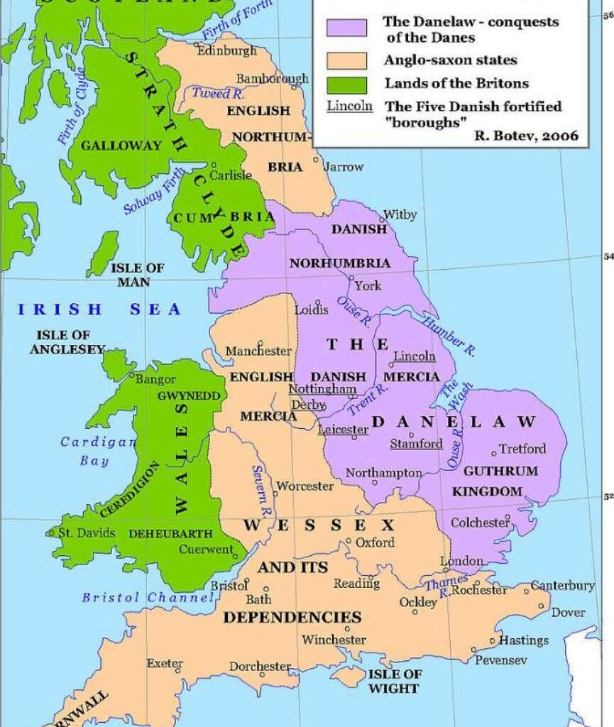
Back in Anglo Saxon times, only the green was the original inhabitants of Britain. The green was Norwegian and Danish Viking immigrants and the light brown was the Anglo Saxon immigrants from Germany. Strangely similar to modern maps that have bern on here recently
by MegC18
10 comments
Shouldn’t there be a separate colour for the Gaels? They were in parts of Scotland and Ireland, which have been classed as Britons in this map. They were both Celtic groups, but quite different cultures.
I don’t like this map. It doesn’t have Birmingham on it 🙁
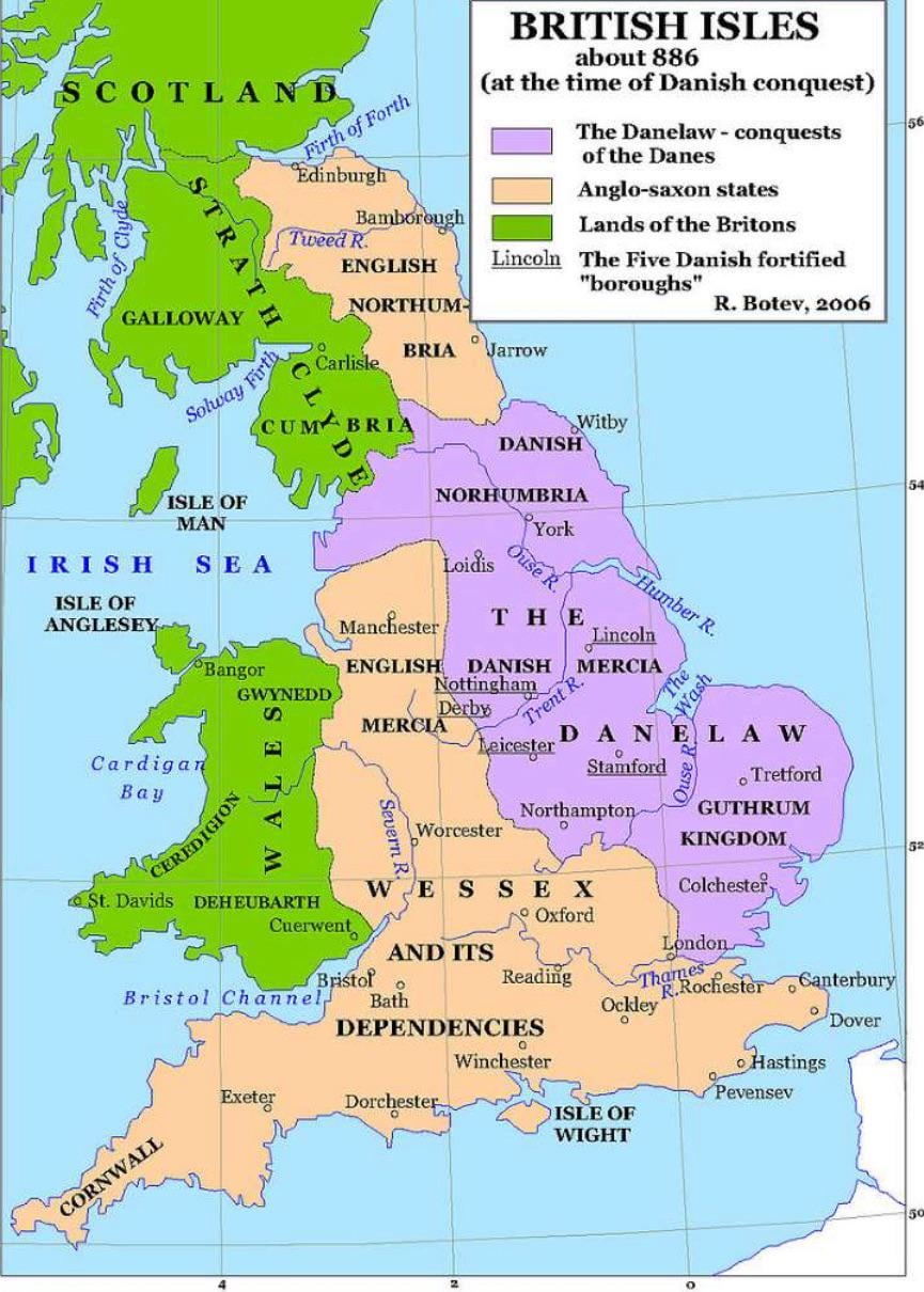
Nice to see my hometown, Tretford (Thetford) getting prominence over Bury
Can’t wait to tell Scots that Anglo-Saxons ruled part of Scotland in 886.
Mercia stopped at the River Mersey, hence the name
Cum… bria
Strathclyde or Alt Clut which became Strath Clut was a British kingdom – ‘the men of the north’ but ravaged by Viking attacks. ‘Scotland’ was largely Pictish until- again- Vikings, when subsumed by the Scotti- eg the ethically Irish/ Scottish kingdom that emerged.
Alfred the Great? Yes- he did do the survival of Wessex but the king who made ‘England’? His totallt forgotten son Edward the Elder with his sister Aethelfried and then Aethelstan via the huge battle of Brunanburgh vs Vikings from Ireland, Constantine the Scottish king and Owain of Wales.
Guardian review of the William the Conqueror series on BBC. A snide comment about those who know ‘their Cnuts from their Harthacnuts’. Not everyone is a history ‘cnut’ but kids can give up History at 14 in the UK and, sadly know little about not very much.
So the map- Scottish/ British? Just one colour. Hmm.
Pretty sure Cornwall wasn’t “Anglo-Saxon” 🙄😂
its really bothering me that an official map spelt Whitby wrong.
Sure, but what did the Vikings call a bread roll/bap/teacake/barm?
Comments are closed.