We’d advise leaving your hats at home today. Strong winds are sweeping across Iceland as a local low-pressure system brings unsettled weather nationwide.
The Icelandic Meteorological Office has issued a yellow warning for South Iceland, where gusts are expected to reach hazardous levels.
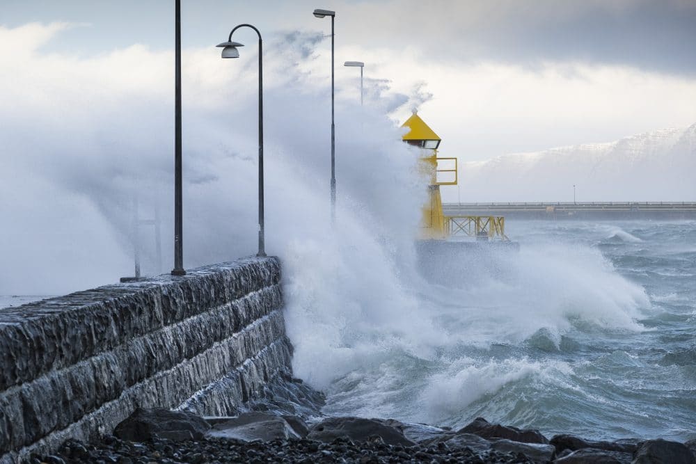
South Iceland
A yellow warning is in effect from 12:00 to 20:00 for areas below the Eyjafjöll mountains and in Mýrdalur, with strong gusts creating hazardous conditions, especially for high-sided vehicles.
According to the forecasts, easterly winds are expected to reach 15–20 metres per second.
Drizzle and rain are likely throughout the day. (Anyone else getting the sense that Autumn is very much upon us?)
 Credit: Icelandic Meteorological Office. West Iceland
Conditions in the west will be breezy but somewhat milder. Here, easterly winds will only average 8–15 metres per second. Precipitation will be limited, though overcast skies are expected.
With that said, temperatures may climb to around 17°C.
North Iceland
The north will also see relatively calmer conditions, with little precipitation forecast.
Winds are expected to remain in the 8–15 metre per second range, and temperatures could reach as high as 19°C, making it the warmest part of the country.
East Iceland
In the east, easterly winds will dominate, easing somewhat tomorrow. Showers and drizzle are likely, especially along coastal areas.
Temperatures will range between 11°C and 15°C.
The Met Office forecast for tomorrow suggests decreasing winds across the country, with partly cloudy skies and scattered showers, though drizzle will persist in the southeast and east. Temperatures are expected to remain steady.