The Finnish Meteorological Institute (FMI) says temperatures could climb up to 23 degrees next week.
Open image viewer
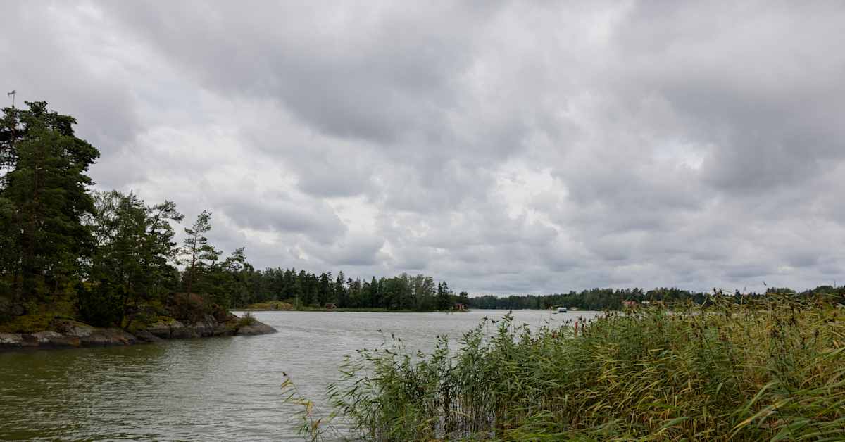
Although temperatures are set to rise again, many parts of Finland will still see periods of rain during the week. Image: Henrietta Hassinen / Yle
Next week’s weather in Finland will feel more like August than September, according to the Finnish Meteorological Institute (FMI).
The warmest day is expected on Friday, when temperatures could climb to 22–23 degrees Celsius across much of the country, duty meteorologist Pinja Rauhamäki told Finnish News Agency STT. However, the forecast for the end of the week remains uncertain.
At the start of the week, most of Finland will see dry conditions, with the exception of Finnish Lapland. On Monday, light showers are possible in parts of the north, while Tuesday could bring heavier rain.
Temperatures in southern and western Finland will rise to around 20 degrees on both Monday and Tuesday.
“On Tuesday the warmth will spread east and north. Readings of 20 degrees are possible in eastern Finland, around Oulu and perhaps even into southern Lapland,” Rauhamäki said.
Elsewhere in Lapland, temperatures early in the week are forecast to range between 15 degrees and 17 degrees.
From midweek, conditions will turn wetter as a low-pressure system moves in from the west, bringing showers to the south and west on Wednesday and a chance of thunderstorms lasting into Thursday.
As a result, temperatures will dip slightly midweek, with northern Lapland at around 15 degrees and the rest of the country just under 20 degrees.
On Thursday, rainfall will shift mainly to eastern and northern areas, before drier conditions return. By Friday, showers will be limited mostly to the west.
At the same time, warmer air is expected to flow in from the south, with high pressure strengthening. This will raise the likelihood of temperatures once again surpassing 20 degrees towards the end of the week.