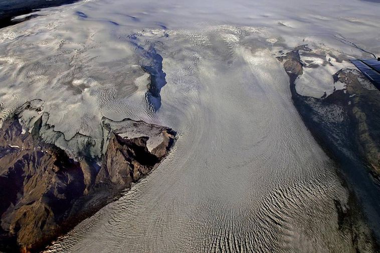
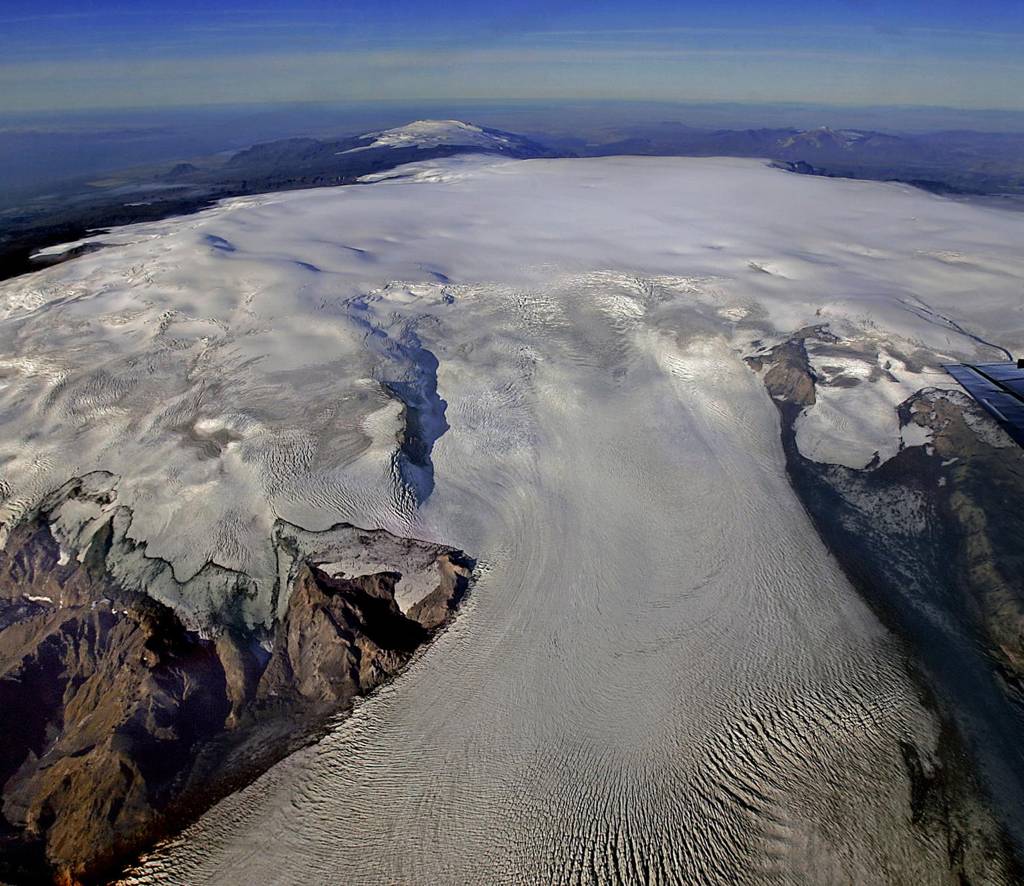
The volcano Katla lies beneath the Mýrdalsjökull glacier. Its last eruption occurred in 1918.
mbl.is/RAX
Civil protection response plans for South Iceland have been updated in preparation for potential volcanic eruptions and glacial floods. Meetings have also been held with residents in the Rangárvallasýsla and West Skaftafellssýsla regions.
“We are therefore preparing for the worst but hoping for the best,” says Anton Kári Halldórsson, mayor of Rangárþing eystra, speaking to Morgunblaðið yesterday. The updated plans cover possible eruptions in both Hekla and Katla.
“Rangárþing eystra spans the area from Eystri-Rangá to Jökulsá on Sólheimasandur, and the only completely safe zone is a small area beneath Eyjafjöll that isn’t in the path of potential floods. The most likely course of a Katla flood would be down to Mýrdalssandur, but it could also run toward Sólheimasandur via the glacial river, and in rare cases, floods have come from Entujökull into Markarfljót. Those latter scenarios are very unlikely—but they have happened before, so they could happen again,” Halldórsson says.