Updated: November 11, 2025 at 11:59AM EST
Published: November 11, 2025 at 6:36AM EST
CP24’s Bill Coulter has an update on winter weather conditions across the GTA, with temperatures recovering this week.
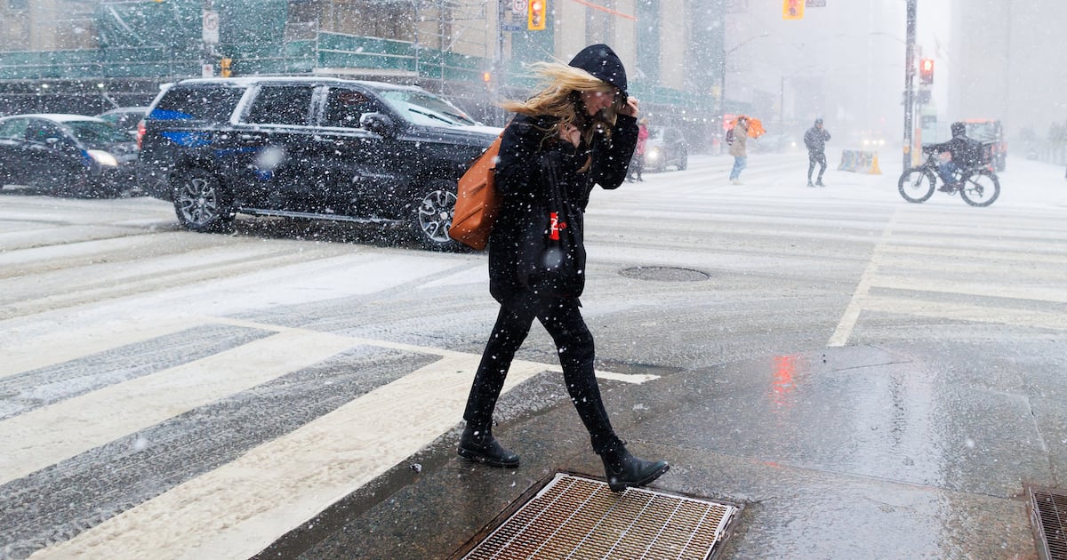
A winter weather travel advisory has now ended for Toronto following a snowy start to the work week.
Environment Canada previously said areas east of Highway 400, including Toronto, could see hazardous winter driving conditions this morning as heavy, blowing snow caused poor visibility in parts of the region
The advisory ended at around 11 a.m. as snowfall tapered off.
The temperature will hit a high of 4 C on Tuesday but it felt significantly cooler this morning, with the wind chill making it feel closer to -8.
More flurries are possible on Wednesday morning before the precipitation switches to rain. A high of 7 C is in Toronto’s forecast on Wednesday.
Toronto is seeing an early start to winter this year, with Sunday’s snowfall breaking two decades-old weather records.
Environment Canada said 9.8 centimetres of snow fell in Toronto on Sunday, with more accumulation early Monday morning.
The storm marks the highest two-day snowfall total Toronto has seen this early in the year since October 21 and 22, 1981, when six centimetres fell. It was also the snowiest Nov. 9 on record in 54 years.
With files from CP24’s Phil Tsekouras