Map data sourced from © OpenStreetMap contributors. This artwork is based on data available under the Open Database License, ODbL
by paveloush
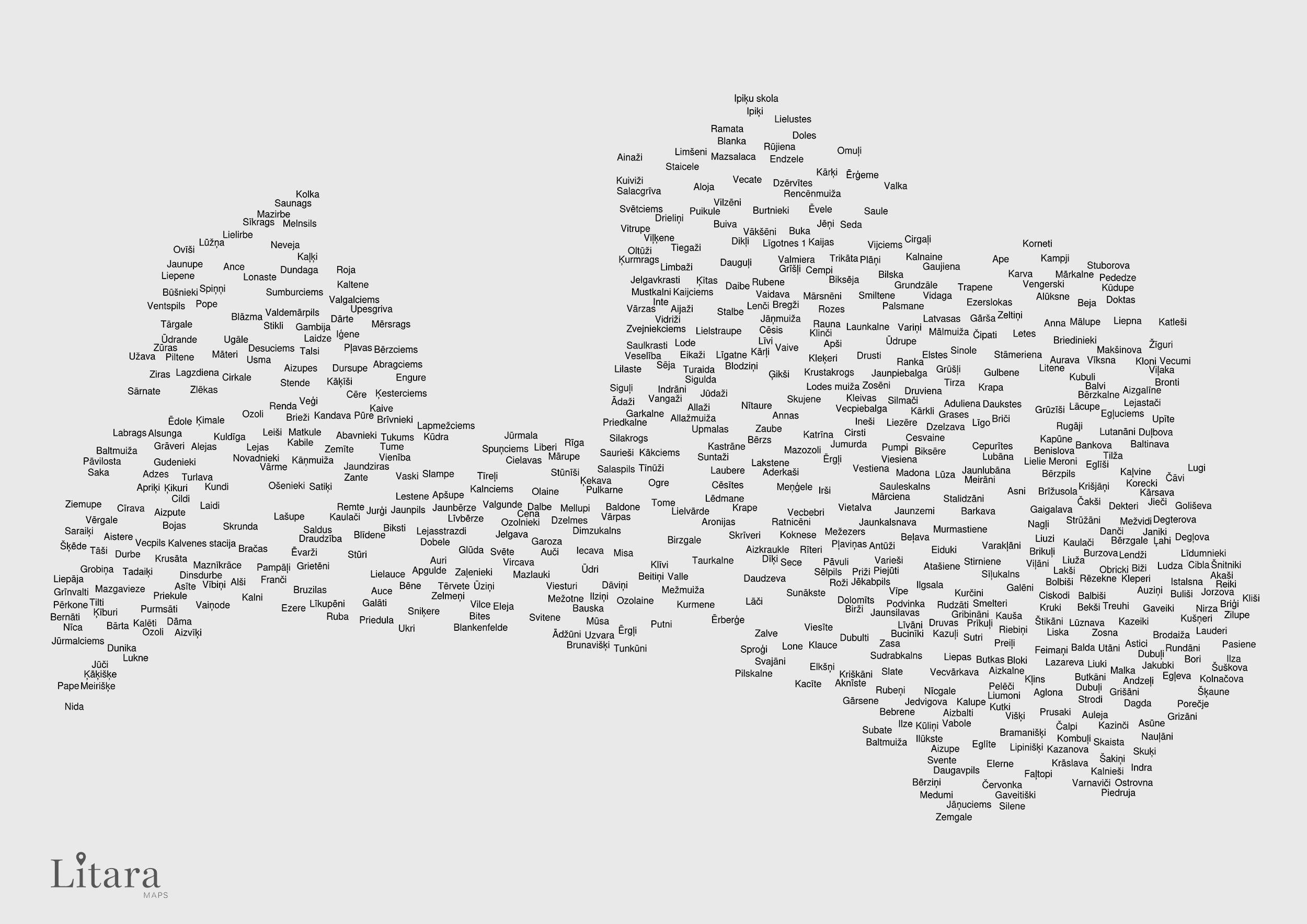
![[OC] I created a typographic map of Latvia using the names of its towns and settlements](https://www.europesays.com/wp-content/uploads/2025/11/ex2yge6dgf4g1-1920x1024.jpeg)
Map data sourced from © OpenStreetMap contributors. This artwork is based on data available under the Open Database License, ODbL
by paveloush
2 comments
Sveiki! Thanks for checking out my project. Here’s a little more context on what you’re seeing:
* This is a piece of Data Art, not a traditional atlas. The goal is to let the data itself create the art, rather than to show every single town.
* A custom algorithm I wrote places each name from the OpenStreetMap dataset at its exact coordinates, starting with the most populous cities. The main rule is that names cannot overlap. So in dense areas, a larger town can block its smaller neighbors, which is why some well-known places might be missing.
* Also, since the data is from the community-driven OSM, you might spot some historical places that are now ghost towns or have been absorbed into other cities.
I hope you enjoy the result and I’m happy to answer any questions.
**––––**
Sveiki! Paldies, ka pievērsāt uzmanību manam projektam. Šeit būs nedaudz plašāks konteksts tam, ko redzat:
* Šis ir “Datu mākslas” (Data Art) darbs, nevis tradicionāls atlants. Mērķis ir ļaut pašiem datiem radīt mākslu, nevis parādīt pilnīgi visas pilsētas.
* Mans izveidotais algoritms izvieto katru nosaukumu no OpenStreetMap datu bāzes precīzās koordinātās, sākot ar lielākajām pilsētām. Galvenais noteikums ir tāds, ka nosaukumi nedrīkst pārklāties. Tāpēc blīvi apdzīvotās vietās lielāka pilsēta var “bloķēt” savus mazākos kaimiņus, un tieši tāpēc dažas zināmas vietas var nebūt redzamas.
* Tā kā dati nāk no kopienas veidotā OSM, jūs varat pamanīt dažas vēsturiskas vietas, kas tagad ir “spoku pilsētas” vai ir pievienotas citām pilsētām.
Ceru, ka jums patiks rezultāts, un labprāt atbildēšu uz jautājumiem.
Nice
Comments are closed.