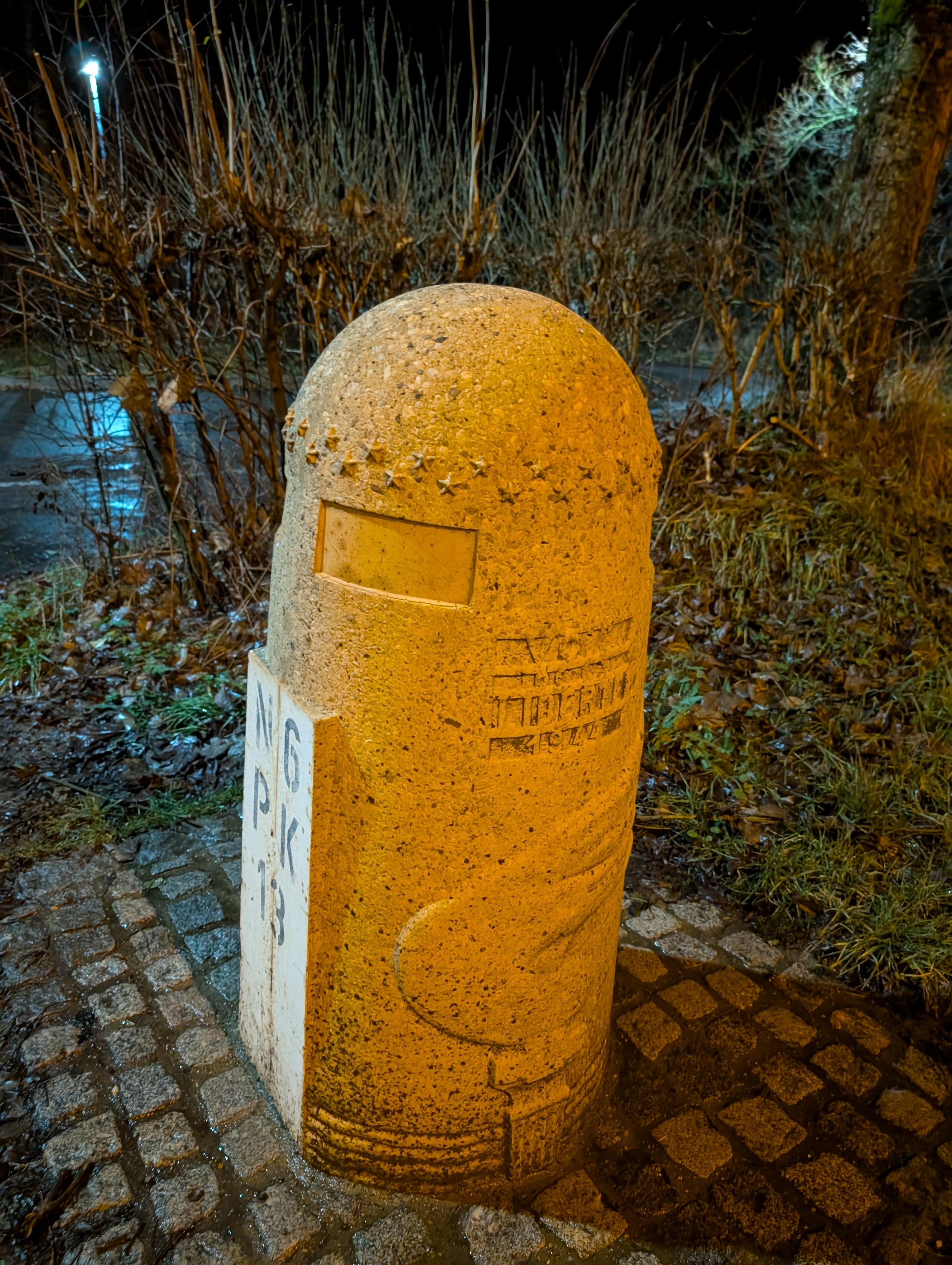
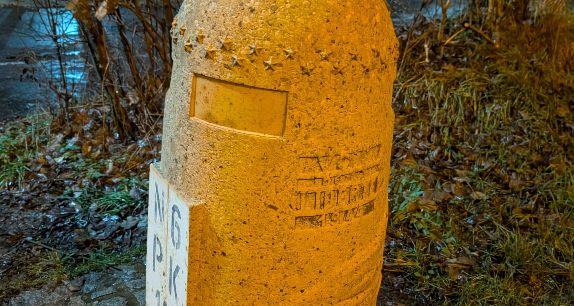
What is the purpose of these structures which you can find along Route d'Arlon for every 1 km?
Please also add the pictures of your finds nearby!!
by Capital_Individual74
What is the purpose of these structures which you can find along Route d'Arlon for every 1 km?
Please also add the pictures of your finds nearby!!
by Capital_Individual74
10 comments
That are the marking born for the “voie de la liberté”, the road that took Patton from Normandy to Bastogne. Next week is the nuts weekend in Bastogne and Manhay, lot of 40ies/WW2 vehicles, reenactment and reenactor.
They forseen American tourists with fat wallets.
These are a special version of this
https://en.wikipedia.org/wiki/Milestone
N6 is the road number, PK stands for Point Kilometrique. 13 means it’s the 13th km of that road. Most roads have that.
Wrong answers only?
Everything is a dildo, if you are brave enough.
Its the Liberation road Gen. Patton took with his 5th Armored division.
r/mildlypenis
It’s a Pokestop
Among us
These are the boundaries of peace; they lead to the beaches of Normandy, passing through Bastogne, the Netherlands, etc.
It is a tribute to the roads that the Allies took in 1940-1945
Comments are closed.