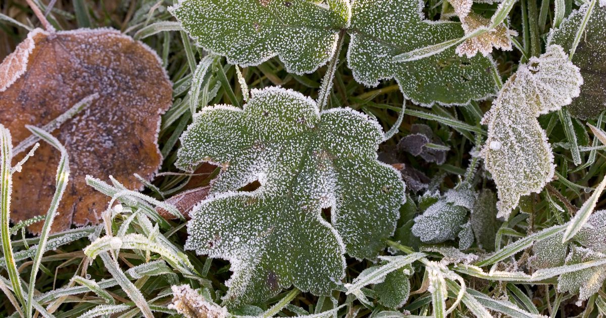
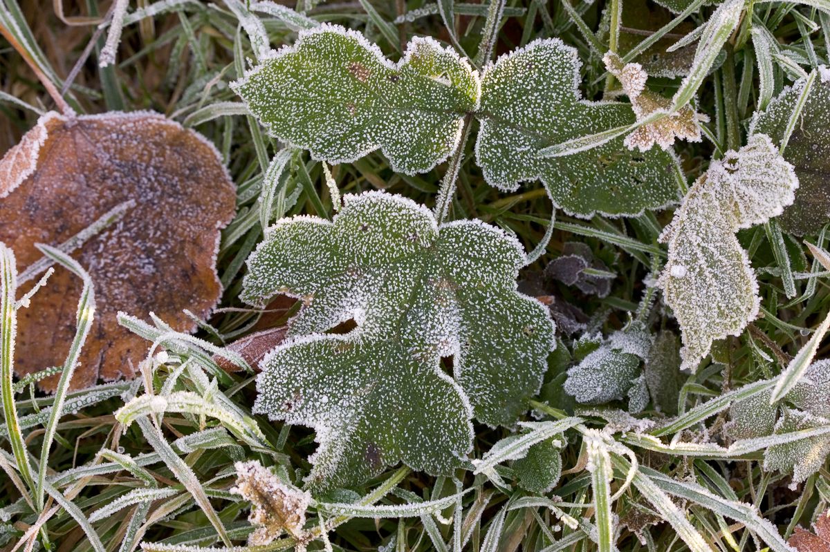
Frosty grass stock photo(Image: Getty Images)
Temperatures are expected to rise later this week as Ireland bids farewell to icy weather warnings and freezing conditions.
There is still plenty of ice on the roads and footpaths this morning, but the yellow weather warning will be ending shortly at 9 am for most of Ireland. Met Éireann says we can look forward to temperatures between 3 and 8 degrees this week, but due to low pressure, there will be unsettled conditions across the country.
Elsewhere, more than one hundred schools in Northern Ireland will remain closed today due to snowy conditions.
Here is your forecast for the week ahead:
TODAY – Tuesday 6th January
It will be a cold and dry start to the day over the eastern half of the country, with some frost and icy patches. Cloudy for most at first, outbreaks of rain and drizzle in the west will move eastwards across the country through the morning and afternoon, becoming patchier as they do so. Some wintery falls are possible initially before temperatures rise. A clearance to sunny spells and scattered showers will follow from the west. Highest temperatures of 3 to 8 degrees, cooler further east. Mostly moderate southwesterly winds will gradually veer northwesterly through the day.
Tonight: Starting off mostly clear and dry apart from a few coastal showers. However, cloud will spread across the country from the west through the second half of the night, with some outbreaks of rain and drizzle reaching western Atlantic areas by morning. While it will be less cold than recent nights, some frost is still possible in places with the lowest temperatures of 0 to 3 degrees, with mostly moderate westerly winds.
Wednesday 7th January
Starting off dry and cloudy for most, outbreaks of rain and drizzle in the west and southwest in the morning will become patchier as they slowly clear northeastwards across the country. Some bright spells are possible in the east and north, where it will remain dry until evening. Highest temperatures of 3 to 8 degrees, mildest in the southwest, with mostly light westerly winds, backing southerly through the day.
Wednesday night: Any rain or drizzle in the east will clear, giving way to a mostly dry night apart from a few coastal showers. Some rain and drizzle may push into parts of the southwest and south too. Some frost is possible with lowest temperatures of 0 to 4 degrees, with mostly light to moderate westerly winds.
Thursday 8th January
There is some uncertainty in the details for Thursday. Current indications are that while there will be rain and drizzle further south, there will be drier and possibly brighter conditions further north with just some coastal showers. Highest temperatures of 3 to 7 degrees, with light variable winds becoming northwesterly and increasing light to moderate through the day. Thursday night: A dry night for many with some clear spells. However, further west, some showers, possibly of hail, will feed in from the Atlantic. Frost in places with lowest temperatures of -1 to 2 degrees, with light to moderate westerly winds.
Friday 9th January
Plenty of dry and bright weather for many on Friday. However, showers will feed into Atlantic counties, with some of these wintery in nature. Highest temperatures of 3 to 7 degrees, with light to moderate west to northwest winds, fresher in Atlantic coastal areas.
Saturday 10th January
It will start off cold and dry. While there is uncertainty in the timing, wetter and windier conditions are expected to arrive from the west later in the day. Highest afternoon temperatures of 3 to 8 degrees.