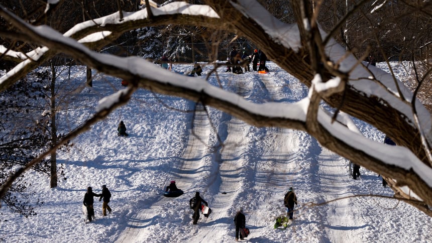
If you’ve been waiting for an excuse to stay inside under the covers, today might be your lucky day.
A blast of cold, Arctic air is visiting parts of Canada starting on Friday and into the weekend.
Known as a polar vortex, this weather phenomenon involves the cold air that would normally stay around the North Pole moving south.
Think of it a little like the North Pole visiting your neighbourhood. Brrr!
Alberta, Saskatchewan, Manitoba, Ontario, Quebec and parts of Atlantic Canada like New Brunswick will deal with temperatures that may set chilly records.
Some places will be colder than others.
If you live in these provinces, don’t be surprised if you see —20 C or colder on your weather app.
While polar vortexes aren’t new, this particular one is especially cold and snowy.
It will be teaming up with an atmospheric river to bring about low temperatures followed by potentially big snowfalls.
To learn more about polar vortexes and how they happen, click play:
What does this weather mean for me?
CBC meteorologist Johanna Wagstaffe called the combined polar vortex and atmospheric river an unusual “crossover event.”
“I think there’s a good chance we’ll see some snow days,” she said.
While you might think you can handle the cold, Wagstaffe said it’s important to listen to weather warnings from places like Environment Canada.
She also said to pay attention to the wind chill, which can make it feel even colder.
That means bundling up and avoiding spending too much time outside if it dips below — 30 C.
“It’s a dangerous level of cold,” she said.
Check out these other videos:
TOP IMAGE CREDIT: Nathan Denette/The Canadian Press
CORRECTION: An earlier version of this story failed to mention that Saskatchewan would also be affected by the polar vortex. The article was updated Jan. 23, 2026.