The effects of Storm Joseph will then gradually extend to the other regions of mainland Portugal on the night of Monday, 26 January, into Tuesday, 27 January, “and with the passage of successive frontal waves at least until the end of the weekend,” according to the Portuguese Institute of the Sea and the Atmosphere (IPMA), in a statement released today.
Starting today, IPMA forecasts “periods of persistent and sometimes heavy rain,” which on Tuesday will turn into “showers,” which may occasionally include hail and be accompanied by thunderstorms.
In addition, starting Tuesday morning, “snowfall is expected in the highest points of the Serra da Estrela mountain range, gradually descending to 600/800 metres of altitude in the North and Central regions and in the Serra de S. Mamede.”
The wind will blow stronger from Monday onwards, “with gusts of up to 80 km/h [kilometres per hour] on the west coast and up to 100 km/h in the high areas.”
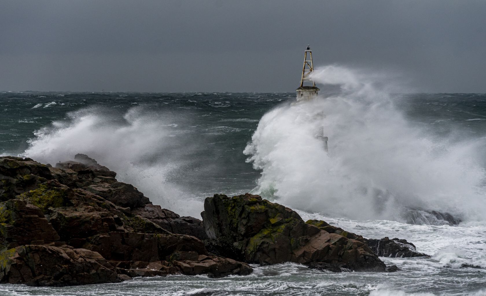
IPMA also says that waves of four to five meters are expected on the west coast from Monday onwards, which will increase, possibly reaching a maximum height of 12 metres from Tuesday afternoon.
Due to the passage of depression Joseph through mainland Portugal, the districts of Aveiro, Beja, Braga, Coimbra, Faro, Leiria, Lisbon, Porto, Setúbal, Viana do Castelo and Vila Real will enter phases of orange alert in the coming days.