Listen to this article
Estimated 3 minutes
The audio version of this article is generated by AI-based technology. Mispronunciations can occur. We are working with our partners to continually review and improve the results.
Rainfall warnings have been issued for Metro Vancouver’s northern sections and much of Vancouver Island, as forecasters warn of a series of storms set to hit the region.
The yellow warning from Environment and Climate Change Canada says that up to 120 millimetres of rain could fall in the City of Vancouver, Burnaby, Coquitlam, Maple Ridge and the North Shore by Friday.
On Vancouver Island, rainfall totals could reach 100 millimetres on the west coast — including Tofino and Ucluelet — by Wednesday night.
“Very strong southeast winds gusting to 90 km/h over exposed coastal sections will also accompany this front,” the warning reads.
The warning says that a warm front drawing in “moist, subtropical air” is responsible for the rain hitting the region.
As for the inland sections of Vancouver Island, including Port Alberni, up to 50 millimetres of rain is expected — with Environment Canada saying rain could ease Thursday morning.
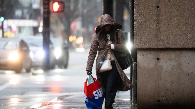
Rain is likely to continue until Friday in Metro Vancouver, with regions at higher elevations likely to get the brunt of the downpour. (Ben Nelms/CBC)
“Over the next, you know, 48 hours, we will see another system move through inland Vancouver Island again,” said Derek Lee, an Environment Canada meteorologist, in a Wednesday interview.
“So we are going to see even more rain than what’s expected right now for from the rainfall warning.”
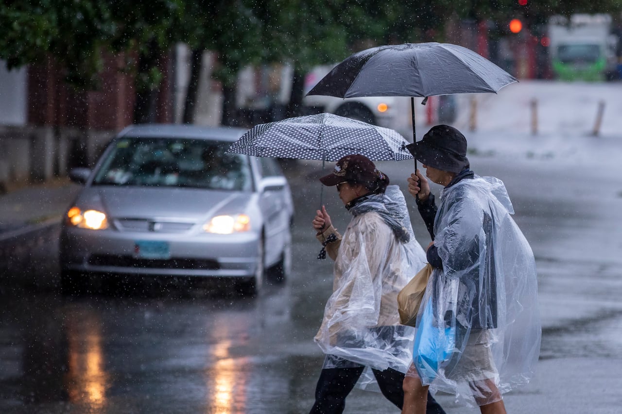
While rain could taper off in Metro Vancouver on Thursday morning, it will resume again on Thursday evening, according to forecasters. (Ben Nelms/CBC)
For Metro Vancouver, forecasters say another round of heavy rain will begin Thursday evening, with 40 to 60 millimetres expected both on Wednesday evening and Thursday evening.
“North Vancouver, West Vancouver and all the way into Coquitlam, Maple Ridge — those areas, especially … into the mountains are going to be seeing the highest amounts,” Lee said.
The meteorologist said some of the precipitation may fall as snow at higher elevations, but it’s likely the warm air means that transitions to rain eventually for many areas.
Warm January
It has been a dry and warm January to begin the year for southwest B.C., with some trees already in bloom as maximum temperatures have hovered around 7.4 C at Vancouver International Airport.
Lee said that maximum temperatures could reach 10 or 11 C in Metro Vancouver by the weekend, which would be three or four degrees above normal.
While the series of storms hitting southwest B.C. this week have come after a dry spell, Lee said that rainfall in the first half of the month means this January isn’t likely to be historically dry in Metro Vancouver.
“The extremes of that very dry period, say two weeks before this, is going to be balanced out from this last rainstorm before we end the month,” he said.
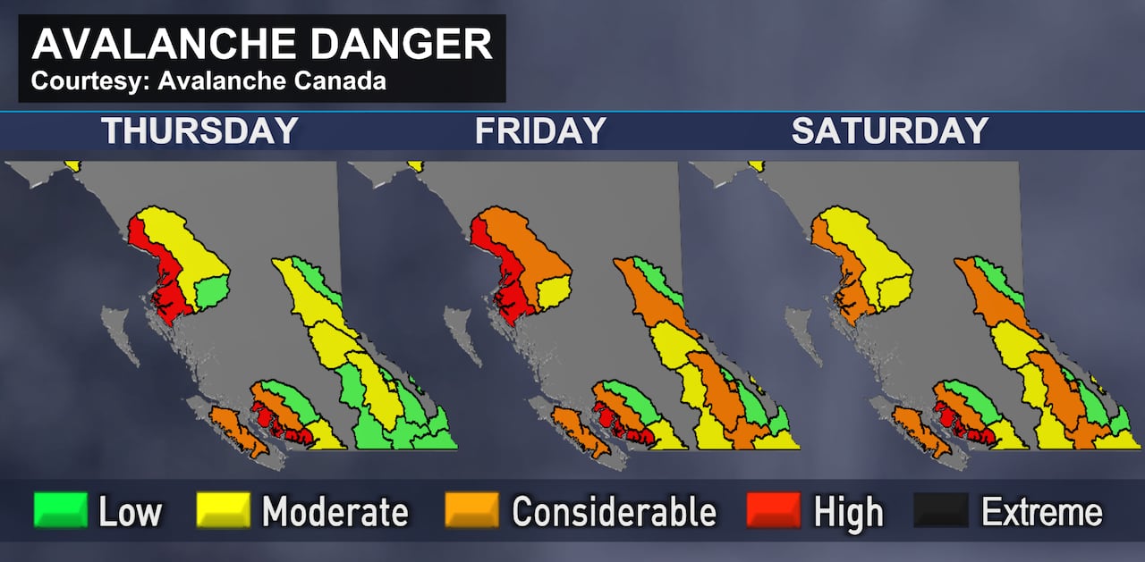
This series of graphics shows avalanche danger across B.C. going up as warmer air comes in over the next few days. (CBC)
CBC Science and Climate Specialist Darius Mahdavi said the warming temperatures coming in with the rain means the avalanche risk is likely to go up across the province.
“It already has come up quite a bit on the South Coast,” he said.
“We’re seeing high avalanche danger, and in the next few days, most of B.C. is going to join us at considerable to high avalanche danger.”
Mahdavi said that anyone going out this weekend should check Avalanche Canada’s forecasts and get prepared.