On this day in 1926, it was reported that North DakotaŌĆÖs “anticline” geological structures mirrored those of rich oil fields in Wyoming and Alberta, though it remained unproven if the stateŌĆÖs Dakota sandstone held petroleum in commercial quantities. This story was the final installment of a reporting series on the excitement around oil production in North Dakota
Here is the complete story as it appeared in the paper that day:
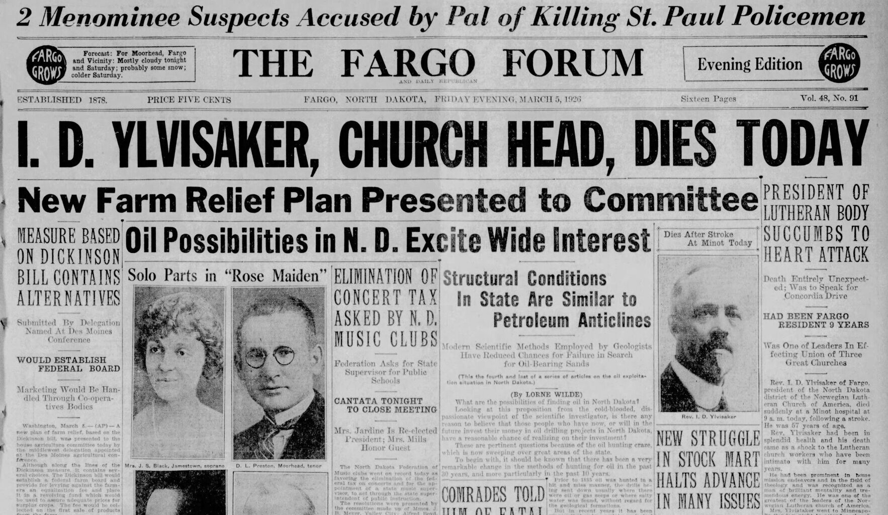
Oil Possibilities in N. D. Excite Wide Interest
Structural Conditions In State Are Similar to Petroleum Anticlines
Modern Scientific Methods Employed by Geologists Have Reduced Chances for Failure in Search for Oil-Bearing Sands
(This is the fourth and last of a series of articles on the oil exploitation situation in North Dakota.)
(By LORNE WILDE)
What are the possibilities of finding oil in North Dakota?
Looking at this proposition from the cold-blooded, dispassionate viewpoint of the scientific investigator, is there any reason to believe that those people who have now, or will in the future invest their money in oil drilling projects in North Dakota, have a reasonable chance of realizing on their investment?
These are pertinent questions because of the oil hunting craze, which is now sweeping over great areas of the state.
To begin with, it should be known that there has been a very remarkable change in the methods of hunting for oil in the past 30 years, and more particularly in the past 10 years. Prior to 1885 oil was hunted in a hit and miss manner, the drills being sent down usually where there were oil or gas seeps or where salty water was found, without regard for the geological formations.
See more history at Newspapers.com
But in recent years it has been proven that unless certain geological structures, known as domes or anticlines, or similar formations are present, it is practically certain that no oil will be found.
So widespread is this principle now accepted that no reputable oil concern now drills for oil without first securing the services of a competent geologist to make a survey and select the places where these domes or other natural oil traps occur.
In yesterdayŌĆÖs article it was stated that no reputable geologist puts faith in the “doodlebugs,” the instruments sometimes used in looking for oil locations.
There is a possible exception. Within the past two years a very elaborate system of scientific apparatus has been worked out by which scientists are said to be able to locate accurately the strata or domes which indicate that if oil is found it will probably be found there.
This apparatus consists in part of a seismograph, the instrument used in locating the extent and position of earthquakes. The seismograph is used in connection with a very delicate torsion balance scale.
With these instruments in place, the operators set off a charge of dynamite deep in the earth, which gives somewhat the effect of a miniature earthquake, and it is said they have located some great oil fields with these instruments very recently.
This apparatus has also been dubbed “doodlebug” in the oil fieldsŌĆöbut it should not be confused with the instruments which are carried over the ground, and are supposed to be agitated when they pass over a field of petroleum.
As a result of the use of competent geologists, chances for failure have been tremendously lessenedŌĆöbut, while it is almost certain that there will be no oil unless there is a dome or other trap in which the oil may accumulate, it is by no means certain that oil will be found in every dome.
Prof. Howard E. Simpson, state geologist of the North Dakota Geological Survey, informed the writer that in 1913 only three geologists were employed in the Kansas-Oklahoma oil fields, while five years later there were 250 in that same field. As a result of their efforts, the chance for success of wild-cat or prospect wells was reduced from one in 150 to one in three.
But, of course, they were working in a proven oil field, that is, in an area which was known to have oil bearing rock strata under many sections.
What does all this prove? Simply that unless there are domes or “terraces” or other natural traps in the rock structures that underlie the surface, it is practically useless to drill for oil.
What are these domes, or other traps, and how are they found? To answer these questions it is necessary to review briefly the geological formations in which petroleum is found.
Petroleum is most frequently found in sandstone formations. The sandstones are porous rocks, in which the oil collects by seepage from the formations above. It is now the generally accepted theory that petroleum is a substance formed by the decomposition and distillation of animal and plant life.
The sandstones were once beds of sand, which were laid down at the bottom of lakes or oceans of prehistoric ages. Later these beds were buried under other formations, frequently under beds of shale. The shales, either clays or slaty stones, of close texture, are formed by the solidifying of beds of mud or clay.
Frequently these shales are found to be filled with the remnants of plant and animal life. Slowly, through millions of years, these beds which were once at the surface of the earth, were buried under other formations, and the great pressure resulted in the distillation from the decaying animal and plant life, of crude petroleum, which was forced out of the shales into the sandstones.
When these formations were first laid down they were in practically horizontal positions, but later disturbances, earthquakes or volcanic disturbances, or the application of greater pressure on one part of the surface than on another, caused the underlying strata of rock to bend or fold, or break up into terraces or at sloping angles.
The domes are simply places where the sandstone was forced up at one point, to a higher relative position than at other nearby points.
To illustrate this, take two sheets of cardboard and a sheet of blotting paper. Place the blotting paper between the sheets of cardboard and bend all three sheets up in the center so as to form an arc. Now consider that the cardboard sheets represent beds of shale, the hard slaty rocks that are impervious to oil, and that the blotting paper represents a bed of sandstone.
Here you have a very simple illustration of a “dome,” the top part of the arc representing the dome. The oil and water in the sandstone is forced along by gravity through the sandstone structure, much as water is forced through a pipe, until it comes to the dome, and the oil being lighter, rises to the top of the dome and fills it.
There it is trapped, by the water. Very frequently on top of the oil in the dome, there will be a pocket of gas, which was forced into this trap by the oil, as the oil was trapped by the water.
The geological formations which underlie the surface of North Dakota are very well known, having been determined from the “logs” of deep wells, such as artesian water wells and other borings.
The drilling at the Des Lacs oil well has furnished a very accurate log of the formation in that vicinity, the well having been drilled to a depth of 3,980 feet and a careful record has been kept of the various formations encountered.
In an article published in the North Dakota Engineer in November, 1925, Prof. A. G. Leonard, state geologist, says:
“If oil or gas occur in North Dakota they will most likely be found in the Dakota sandstone, rather than in any other formation in the state.”
He further says:
“The Dakota formation has yielded oil and gas in several localities. In central Wyoming, this sandstone in some places is saturated with dark asphaltic oil, and in the Powder River field the Dakota is the principal oil bearing formation. In the Big Horn basin of Wyoming, the Cloverly, which has the stratigraphic position of the Dakota sandstone, and probably corresponds in part to the latter, is one of the oil and gas bearing formations. “The great tar seepages of the Athabaska river in northern Alberta come from the outcrop of beds that have been referred to the Dakota horizon, and it is from this sandstone, or from sandy beds near the base of the overlying Benton shale that the gas is derived in the Bow Island field.” “Bow Island is 340 miles northwest of the northwest corner of North Dakota. Gas from the field is piped 150 miles to Calgary, and 14 other towns along the route.”
Mr. Leonard says that the Dakota sandstone underlies the entire state of North Dakota, except a portion of the Red River valley, where it has been removed by erosion.
He further says: “A rather fine grained white sandstone, which is doubtless the Dakota, is found in a number of wells in the Red River valley at depths ranging from 250 to 400 feet.
“In southeastern North Dakota outside the valley the Dakota sandstone is encountered at depths varying from about 500 feet near the western edge of the Red River valley to 1,800 feet and over not far west of the James river and near the edge of the Missouri plateau. The increasing depth of the formation is due both to the westward dip of the Dakota and the rise of the land surface in that direction. The depth of the sandstone at Enderlin is 640 feet; Valley City, about 800 feet; Oakes, 880 feet; Ellendale , 1,035; and Jamestown, 1,450 feet.
“The deep well at Devils Lake, in the northeastern part of the state, struck the sandstone at 1,431 feet, while at Leeds, 30 miles northwest of Devils Lake, it lies at a depth of 2,110 feet. The Harvey well, near the center of the state, reached the Dakota at 2,235 feet, and a deep boring a few miles from Westhope, Bottineau county, entered the sandstone at about 1,954 feet. The deep well drilled about 12 miles west of Minot by the Des Lacs Western Oil company, reached a depth of 3,982 feet and the lower 25 feet seems to have been in the Dakota sandstone. There was a little gas at several horizons.”
Mr. Leonard explains that several domes or anticlines have been located in North Dakota. These anticlines are located by an investigation of the rock outcroppings at the surface of the earth, on hill sides or along the sides of deep valleys.
Probably the largest and most pronounced of these anticlines yet discovered is one which extends from the Yellowstone river a few miles west of Glendive, Mont., and southeast into Bowman county, North Dakota. This great domelike structure lies largely in Montana, and half a dozen wells have been drilled on it in Montana.
Both Glendive and Baker, Mont., are supplied with natural gas from these wells but no oil has been found.
A well was put down on this anticline in eastern Fallon county, Montana, not far from the North Dakota line, a few years ago, some of the large oil companies and other big corporations furnishing the finances. This well was put down near the top of the dome, and was drilled to a depth of 4,012 feet but no oil was struck, although gas was found at several depths.
Another well defined anticline is located between Williston and Minot, known as the Nesson anticline. This was partly surveyed by A. J. Collier of the United States geological survey. It was further surveyed by Leonard P. Dove of the North Dakota Geological survey.
Still another anticline occurs 10 to 15 miles northwest of Minot, and another has its crest about three miles west of Mohall, near the eastern border of Renville county. Practically all of these anticlines in North Dakota have yielded gas, while some of them, particularly northwest of Minot, have also yielded traces of oil.
Through the central part of the state, where the big oil craze is now at its height, there has been very little investigational work as to the structure of underlying strata, this being difficult because the surface of the earth there is covered for several hundred feet in places by glacial drift, and this makes it difficult to find the outcroppings of the original strata. Without these outcroppings it is almost impossible to determine where the dips and folds which indicate domes or anticlines, occur.
In summing up his conclusions in regard to the possibilities for finding oil in North Dakota, Mr. Leonard said:
“At present it is not known whether oil occurs in commercial quantity in North Dakota. It is entirely possible that where the structural conditions are favorable oil will be found in the Dakota sandstone in this state as it is in Wyoming and Alberta. Where anticlines or domes are present it is believed that drilling to the Dakota sandstone is warranted for the purpose of prospecting for oil and gas, and thus testing out the field.”