
Image Credit: Shutterstock.
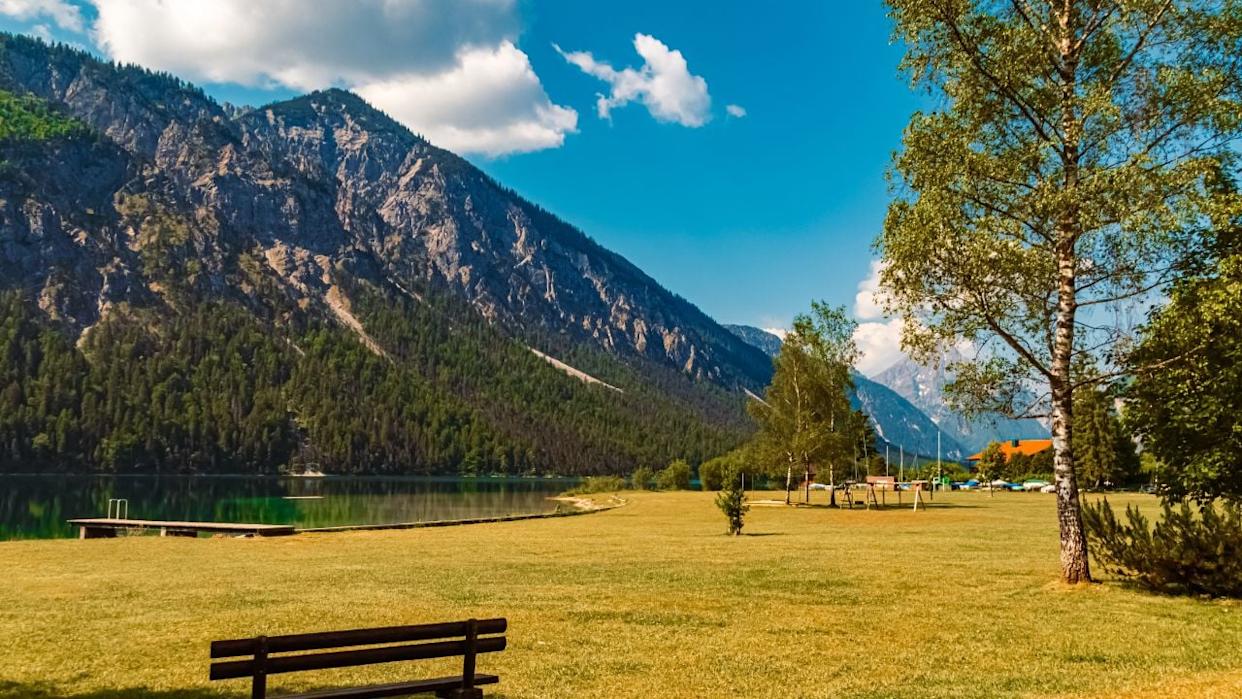
Austria has no shortage of absurdly pretty lake country, yet Plansee makes a fierce case for the top shelf. In the Reutte Nature Park region of Tyrol, local tourism says the lake is 3.7 miles long, 251 feet deep at its deepest point, and the second-largest lake in Tyrol. Tyrol’s official tourism site also describes it as one of the cleanest lakes in the region. From the shore, it already looks polished enough to make your phone camera feel underqualified.
For a title like this, the strongest real-world fit is the Schönjöchl hike above Plansee. Outdooractive’s verified route lists it as a moderate mountain walk of 4.3 miles with 2,336 feet of ascent, about 3 hours and 45 minutes of hiking, and a high point around 5,446 feet, with open views over Plansee, the surrounding mountains, the Allgäu, and even the Zugspitze. That is not some flimsy “hidden gem” rumor in yoga pants. It is a proper uphill effort with a ridiculous reward.
The Lake Itself Is Half the Drama

Image Credit: Shutterstock.
Plansee works because the geography is already doing theatrical things before you even start climbing. Austria Tourism describes it as a fjord-like lake between the forest-covered ridges of the Zwiesel and Spießberg mountains, and Reutte’s tourism board notes that it connects to Heiterwanger. See by a narrow canal, with regular summer boat service on both waters. That long, enclosed shape is exactly what gives the upper-angle reveal its punch.
At ground level, the water reads as a beautiful corridor rather than a full panorama. Once you gain height, the same geography suddenly makes sense, and the lake stops looking like a shoreline stop and starts reading like a giant blue incision through the mountains. That shift is the whole magic trick.
The Climb Feels Earned Without Becoming Absurd
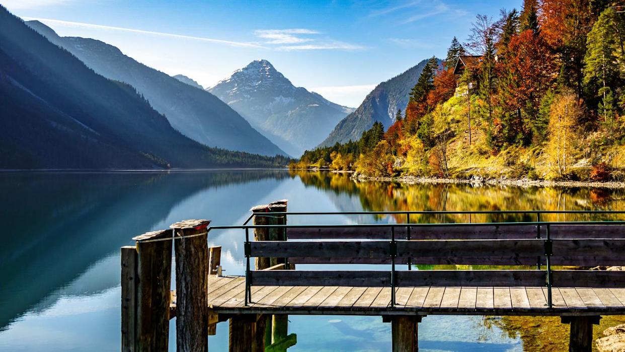
Image Credit: Shutterstock.
The Schönjöchl route gets the tone right. Outdooractive says the path begins from the shore on the northeast side of Plansee, passes the Musteralpe, and reaches the summit at around 5,446 feet after nearly 2.2 miles through quiet forest. It is a useful sweet spot: enough effort to feel like an outing, without turning the day into alpine punishment.
That does not make it a lazy stroll. The official stats still call for solid fitness, with 2,336 feet of elevation gain in under four hours. Austria’s official mountain-hiking safety guidance also frames hiking around preparation, honest self-assessment, weather awareness, and proper equipment, not random optimism. So yes, the route is approachable for capable hikers, but this is still a boots-and-water-bottle kind of romance.
The Payoff Is Bigger Than One Pretty Lake

Image Credit: Shutterstock.
At the top, the view does not stop at Plansee. Outdooractive says the summit outlook extends across the surrounding mountains into the neighboring Allgäu and all the way toward the Zugspitze, Germany’s highest mountain. That wider sweep is what lifts the scene above a standard lakeside viewpoint and into true panorama territory.
It also helps that Plansee is not a tiny alpine pond playing dress-up. Local tourism puts it at 3.7 miles long, and from above, that length finally registers in one clean glance. The result feels less like looking at a destination and more like reading the whole landscape at once.
This Is the Kind of Outing That Easily Becomes a Full Day
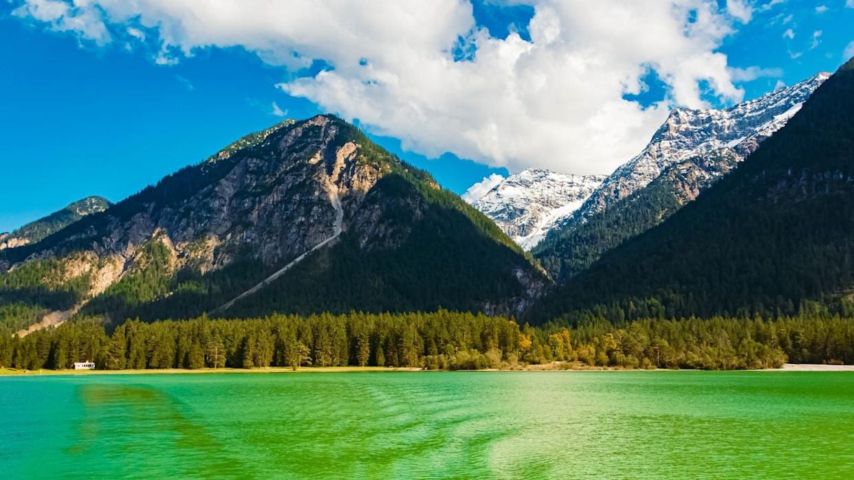
Image Credit: Shutterstock.
One reason Plansee works so well for travelers is that the area does not force the entire experience into one narrow lane. Tyrol’s official Plansee loop is a 9.1-mile circuit with panoramic sections, bathing spots, and refreshment stops. Local tourism also confirms that summer ships run on both Plansee and Heiterwanger. See, so the lake area gives you options even if the ridge is the headline act.
The post-hike options are pleasingly civilized too. Reutte says Plansee reaches around 63 to 70 degrees Fahrenheit in an average summer, and the same site points visitors toward kiosks, refreshment stops, and the Musteralpe show dairy nearby. After a climb, a cold swim, and a plate of cheese-based Alpine nonsense, it is an extremely respectable life choice.
Why It Still Feels Like a Secret
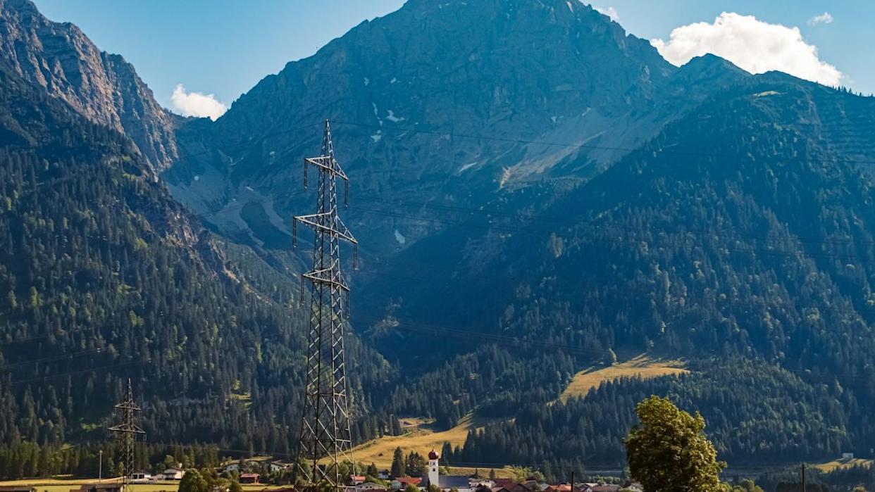
Image Credit: Shutterstock.
The word “secret” is usually marketing glitter, but here it at least makes emotional sense. The Reutte Nature Park region has a hiking network of over 249 miles and 18 alpine pastures and huts, which means visitors are spread across a large mountain playground rather than funneled into one overcooked viewpoint queue. That kind of network naturally keeps some excellent lookouts from becoming full-time circus acts.
So no, this is not a forbidden place known only to three goats and a local shepherd with perfect calves. It is simply a less-hyped ridge above one of Tyrol’s most striking lakes, and that is often the better category anyway. If you want an Austrian view that feels cinematic without being completely chewed up by cliché, Plansee and Schönjöchl have a very serious case.
Read More