The Naturescape Gallery at the Cape Cod Museum of Natural History will feature “Cartographies of Arctic Change,” an exhibition of maps by Woodwell Climate Research Center cartographer Greg Fiske, from September through October during museum hours.
The exhibit showcases work that combines science, technology and visual design to illustrate environmental change, according to a community announcement. Fiske serves as director of Geospatial Technology at the Woodwell Climate Research Center in Woods Hole.
Using cartography as a storytelling tool, Fiske creates maps designed to help audiences better understand the effects of climate change while providing visual information that supports scientific research. His projects with colleague Christina Shintani have included mapping forest carbon across the United States, global drought forecasts, fire detections in the Amazon rainforest and Arctic communities built on permafrost.

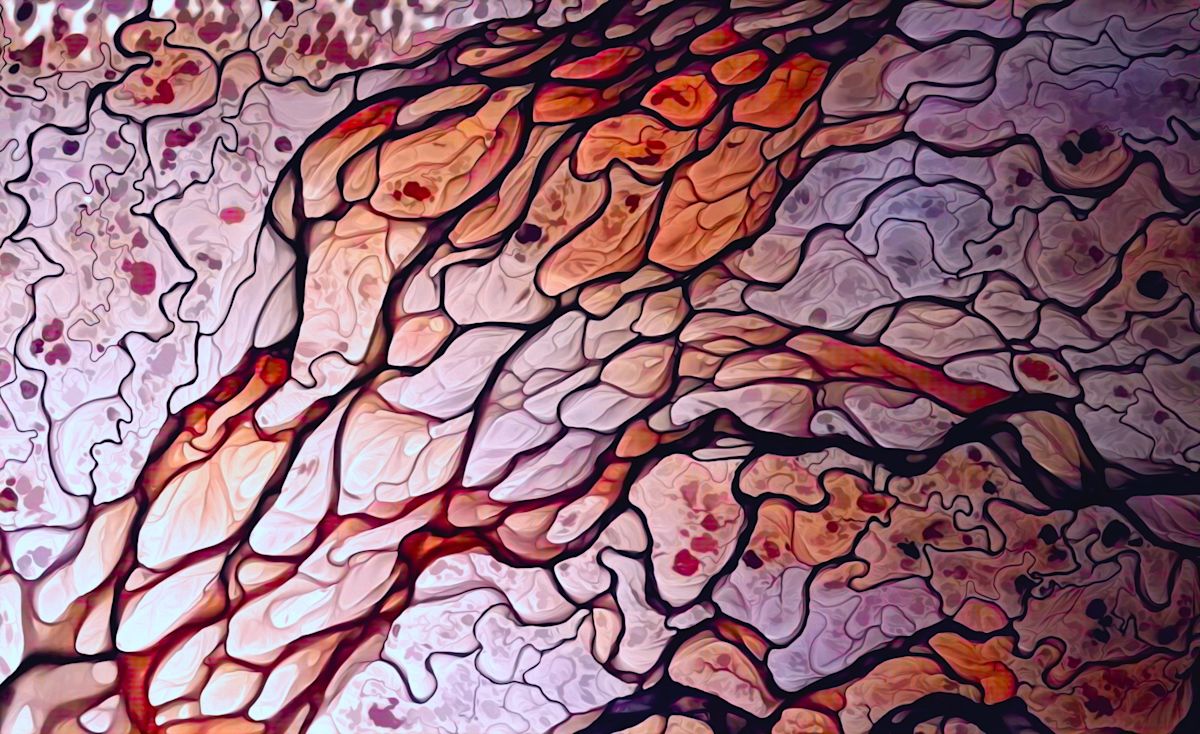
River Art. This image shows elevation data from the ArcticDEM project (NGA-NSF) for the Lena River delta region of north-central Siberia. The variations in pink shades indicate how water has changed the landscape through time.
Maps in the exhibit offer a broad perspective on environmental conditions and changing landscapes around the world. The display highlights how cartography can communicate complex scientific information in ways that are both informative and visually engaging.
Fiske describes modern cartography as a discipline that combines a range of skills, including data analysis, statistics, design, programming and storytelling.
He began his path into cartography through computer coding while in high school. With help from mentors, he expanded those skills to work with geospatial data and create visual representations of scientific information.
Fiske also will present “Putting Science on the Map” at 1 p.m. Oct. 17. The program will explore tools and techniques used in mapmaking and discuss the challenges, successes and failures encountered during nearly 25 years of creating maps for Woods Hole scientists, according to the announcement.
The Cape Cod Museum of Natural History is at 869 Main St., Route 6A, Brewster. For more information, call 508-896-3867, ext. 137, or visit ccmnh.org.
This story was produced with the assistance of Artificial Intelligence (AI). Journalists were involved in every step of the review, editing and publishing process. Learn more at cm.usatoday.com/ethical-conduct.
This article originally appeared on wickedlocal.com: New exhibit maps climate change at Cape Cod museum