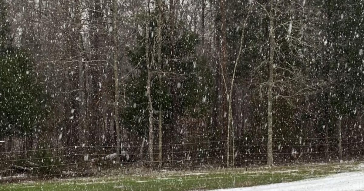
The Triangle is experiencing its third winter weather event
in just over a month, another flurry of frozen precipitation after nearly
three years without measurable snow.
Despite this active stretch, scientists say the long-term
trend is clear: Winters in North Carolina are getting warmer and snow is
becoming less frequent.
In the past 50 years, RaleighŌĆÖs average winter temperature
has increased by about a degree per decade, according to Corey Davis, assistant
state climatologist with the North Carolina Climate Office. That warming trend
means more winter storms are bringing sleet, freezing rain or cold rain rather
than all-snow events.
ŌĆ£One or two degrees can make all the difference between
getting all snow or changing over to sleet or freezing rain,ŌĆØ Davis said.
Less snow, more rain
RaleighŌĆÖs annual snowfall has declined by 36%
since the 1960s, dropping from an average of 8 inches per year to just
5 inches today, according to historical climate data.
ŌĆ£WeŌĆÖre not getting as many all-snow events,ŌĆØ Davis said.
ŌĆ£Thirty years ago, Raleigh averaged about 8 inches of snow per year. Today,
itŌĆÖs closer to 5 inches.ŌĆØ
This winter is no exception. Even with the recent snow
events, Raleigh remains below its annual average for snowfall.
ŌĆ£Before this weekŌĆÖs snow event, weŌĆÖre still looking at a
below-normal year for snowfall, and thatŌĆÖs one of many weŌĆÖve had in recent
years,ŌĆØ Davis said.
Warmer temperatures also mean shorter winters. Davis said
that in recent years, December has felt more like fall, and February has often
been overwhelmingly warm, signaling an early arrival of spring.
On Feb. 4, temperatures reached a record-breaking 80 degrees Fahrenheit,
according to the National
Weather Service.
ŌĆ£We donŌĆÖt get a full three months of winter anymore,ŌĆØ Davis
said. ŌĆ£Historically, that chill in the air lasted through December, January and February. Now, itŌĆÖs really only January where we can count on any sustained
cold weather.ŌĆØ
Extreme weather patterns
Even as snow becomes less frequent, North Carolina is seeing
more extreme precipitation events, including heavier rainstorms and rapid
shifts between dry and wet conditions.
ŌĆ£When it rains, it pours,ŌĆØ Davis said. ŌĆ£WeŌĆÖre seeing those
wet days get even wetter, and those dry spells get even drier.ŌĆØ
That variability is a hallmark of climate change. A warming
atmosphere holds more moisture, leading to heavier snowfall in consistently
cold regions and increased ice and rain events in places like the Triangle.
Davis said these wild swings between extreme conditions have
become more noticeable in recent years.
ŌĆ£Just in the past four or five years, weŌĆÖve gone from
extremely wet conditions to drought in a matter of weeks,ŌĆØ Davis said. ŌĆ£ThatŌĆÖs
exactly what we saw last fall, when Hurricane Helene brought heavy rain, and
then by the end of the year, we were in drought conditions.ŌĆØ
Fewer cold nights
Another consequence of warming winters is the decline of
freezing nights, which can affect everything from agriculture to allergy
seasons.
ŌĆ£We had the last spring freeze in February last year, before
spring had even started,ŌĆØ Davis said. ŌĆ£ThatŌĆÖs unheard of historically, but
something weŌĆÖre starting to see more often.ŌĆØ
With earlier warming, trees and flowers bloom sooner,
leading to longer pollen seasonsŌĆöbad news for allergy sufferers.
ŌĆ£For allergy sufferers, these warmer winters are just going
to cause more problems in the future,ŌĆØ Davis said.
A changing Raleigh winter
Despite this seasonŌĆÖs recent snow events, Davis said North
CarolinaŌĆÖs winters are shifting toward warmer, shorter seasons with fewer
wintry events.
ŌĆ£Raleigh, Charlotte and the Triad have all seen their
annual average snowfall cut nearly in half compared to 30 years ago,ŌĆØ Davis
said.
Davis also pointed to RaleighŌĆÖs record-breaking snow drought,
which lasted nearly three years before ending in January.
ŌĆ£This year has been an exception with a few more winter
weather events,ŌĆØ Davis said. ŌĆ£But when you stack over 1,000 days in a row
without snowfall, thatŌĆÖs substantial. ThatŌĆÖs only happened one other time in
our stateŌĆÖs history.ŌĆØ
Looking ahead
While some winters may still bring snow, the overall trend
is toward warmer temperatures, fewer freezing nights, and more erratic
precipitation patterns.
ŌĆ£We can still occasionally dip into the cold side of the
scale,ŌĆØ Davis said. ŌĆ£But more commonly, weŌĆÖre seeing those warmer temperatures
on the high end of that scale, and that shift is only going to continue.ŌĆØ
For residents of the Triangle, that means more winters where
snow is a rare eventŌĆöand more February days where spring arrives ahead of
schedule.