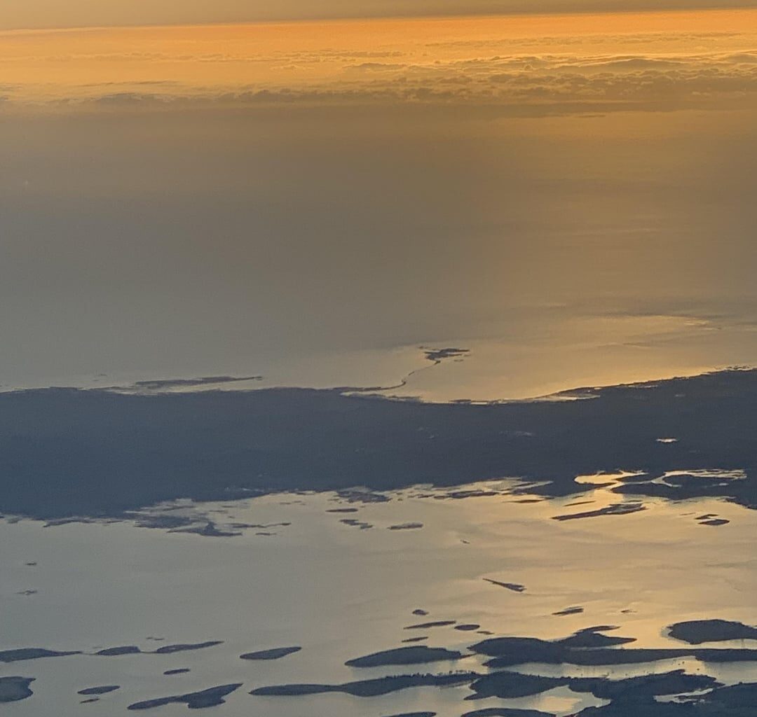
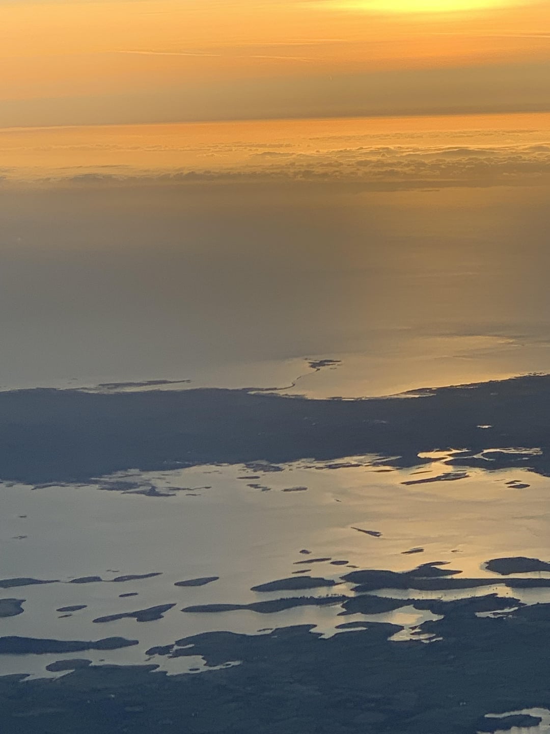
Just noticed, on the flight to London this morning, there is a low tide causeway on the Ards Peninsula?
Seems to be just south of Portavogie but google maps/mapcarta doesn’t provide much clarity on this area specifically.
Does anyone know anything about it, is it man-made, is it possible (advisable) to walk along or access the island beyond?
Sorry if this is a well understood feature but I’ve never heard tell of it.
by NoImTheFlyinDutchman
6 comments
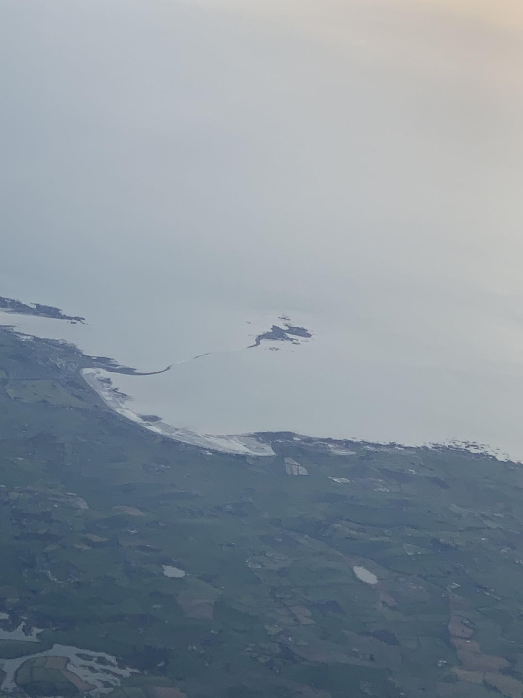
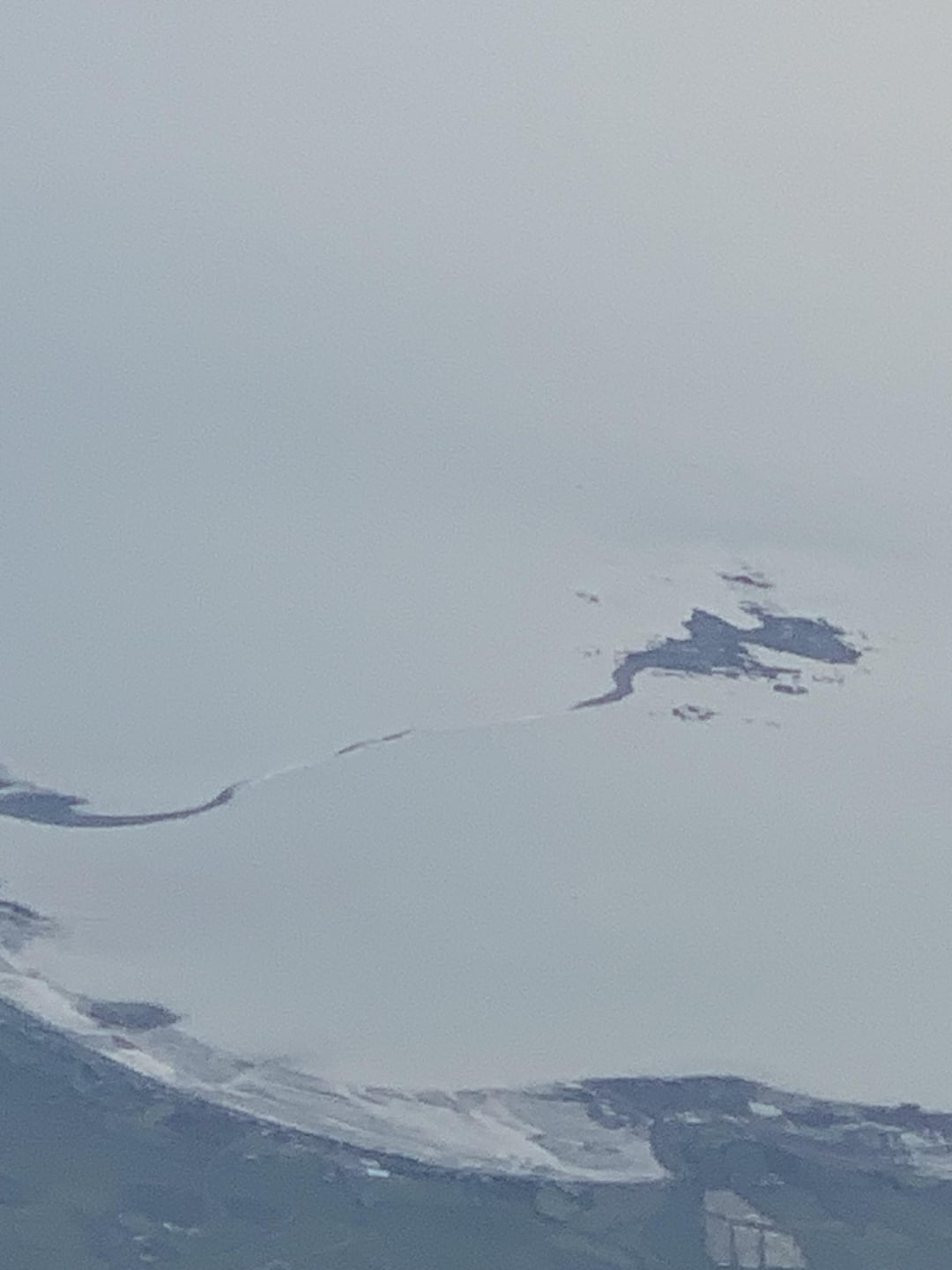
That’s Nolan Island
I used Google Earth to get historical satellite imagery to see if there is anything showing it clearer and from what I can tell, it looks like essentially a meeting of stones and rocks that forms a point or ridge that looks to be close to the surface of the sea but not a full causeway, like Island Hill near Ards. It does not look man made nor walkable.
What’s interesting to me is that I can see the beginning of the causeway at Cloughey Bay Beach on google maps but no sign of the island at all. Also noteworthy that those photos look very different to how that part of the lough looks on Google Maps as well
It’s Green Island. You can get out at very low tide although I don’t think there’s much on it
Bring your snorkel.
There’s a few locations that have this that may not show on maps. Skettrick Island is a big one (if it didn’t have a road land bridge). Portmuck has Muck Island which has a causeway if you’re brave enough to walk through 3 ft of tidal Irish Sea at low tide.
Comments are closed.