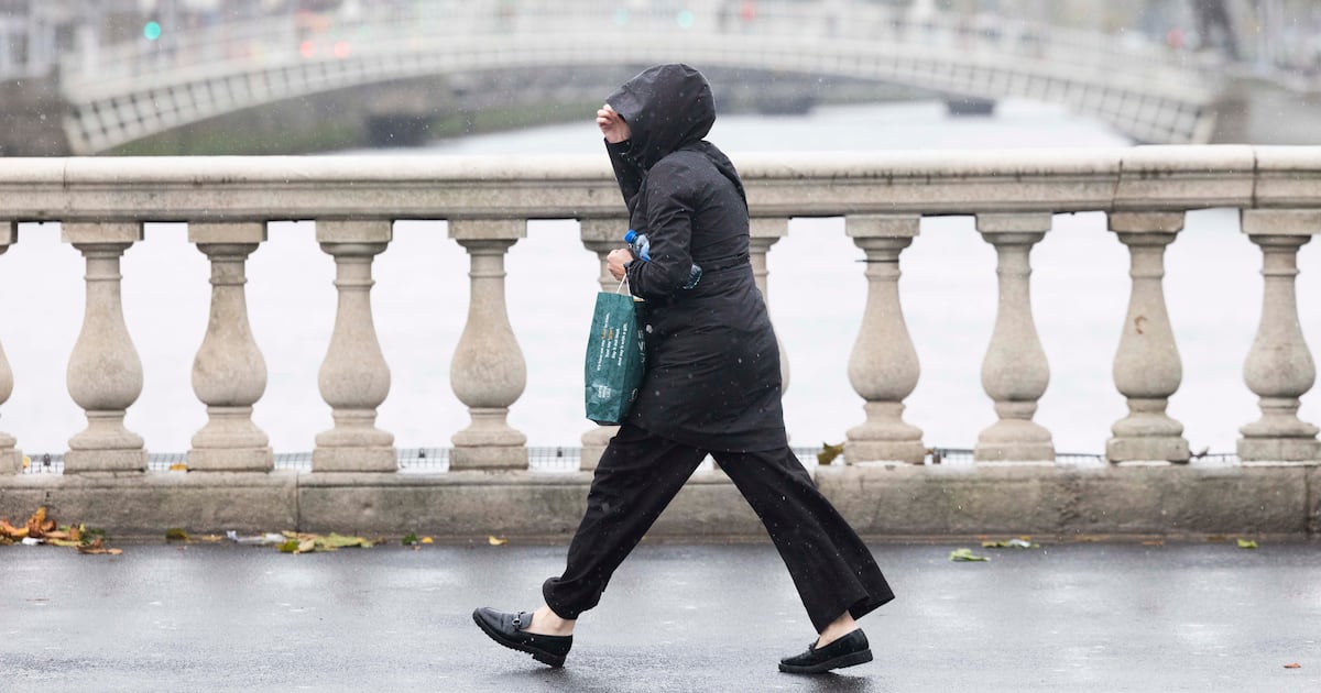
A status yellow rain warning is in force across four eastern counties, while a thunderstorm alert is active in parts of Northern Ireland.
The Met Éireann rainfall warning covers Dublin, Louth, Meath and Wicklow, while there is a UK Met Office alert for Antrim, Armagh and Down.
Both alerts are in effect until 6pm this evening.
Met Éireann says the heavy rain affecting the four southern counties may lead to localised flooding and hazardous driving conditions.
The persistent rain on Saturday morning over east Leinster and Ulster will gradually clear to the northeast in the afternoon.
Bright spells and scattered heavy showers are forecast elsewhere with a chance of isolated thunderstorms. Highest temperatures of between 14-19 degrees are predicted, with light westerly breezes.
Overnight it is expected to dry out to allow clear spells to emerge.
Met Éireann forecasts Sunday to be mostly cloudy with patchy light rain and drizzle spreading eastward. Brighter weather and a few showers will follow from the west for the afternoon and evening. Some sunny spells could develop, while temperatures could range from 14-19 degrees in light to moderate southwest to west winds.
A cloudier night is expected, especially in the west and north, with a little light patchy rain and drizzle moving in, mainly into coastal parts there.
Warm and sunny weather should arrive next week, the national forecaster has said, with temperatures reaching 23 degrees by Thursday.
High pressure will continue to steadily build near Ireland leading to a lot of dry weather overall with sunshine too. There will be some weak fronts early in the week bringing a little rain and drizzle, mainly to the west and northwest but amounts will be minimal.
However, there is some uncertainty in the forecast for the end of the week and into next weekend, Met Éireann noted. It said there is a chance some rain or showers will move over the country but there is also a “high likelihood” that high pressure will remain dominant to lead to mostly dry conditions.