The region received over two inches of rain on back-to-back days for the first time since 2008.
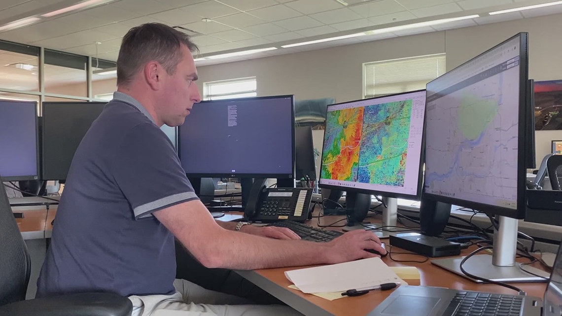
DAVENPORT, Iowa — Severe weather coverage is the busiest part of the job for Matt Friedlein. When you’re constantly providing updates to families, the National Weather Service’s science and operations officer says you must stay proactive.
“It’s controlled chaos in the office. Phones are ringing. Reports are coming in. We’re analyzing weather and we’re pushing out information,” Friedlein said. “The weather setup through last week was showing problems for the end of the week.”
In June, News 8 reported that the agency normally staffs 24, though it’s now down to 14. The agency still felt prepared heading into the storms, scheduling additional staff and weather balloon launches before the Quad Cities received over two inches of rain for the first time on back-to-back days since 2008.
“We can never say explicitly exactly 100% it’s going to be this. But in this case, the upper bound was quite high for this event in terms of the rainfall,” Friedlein said. “On Thursday evening in the Quad Cities, we had a lot of heavy rain that set the stage with wet conditions for that Friday event.”
The standard flash flood warnings were issued Thursday and Friday, but instability, moisture and speed found within Friday’s storm forced the service to upgrade its alert. The weather department sent out a flash flood emergency for the first time in six years.
While most flooding in the metro has subsided, Friedlein says we’re not out of the woods yet. He reminds us that flash flooding doesn’t normally come once a summer.
“We have to remember for the rest of the summer here, we are wet now in the local area. We’re also staying under somewhat active pattern too,” Friedlein said.
The National Weather Service expects to receive flood damage and statistics from the Scott County Emergency Management agency. They’ll be used to inform future forecasts and better access flood-risk areas.