
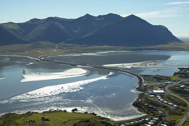
A warning has been issued for strong wind gusts beneath Hafnarfjall on the route to Borgarnes.
photo/mbl.is
A warning has been issued for strong wind gusts beneath Hafnarfjall and in localized areas in the northern part of Snæfellsnes between 6 p.m. and 10 p.m. this evening.
According to a notice from the Icelandic Road and Coastal Administration”s meteorologist, a strengthening southeasterly wind is expected today, particularly in the southwest and west of the country.
In the weather outlook from the Icelandic Meteorological Office, it is noted that a small ridge of high pressure over the country is moving eastward, while a deepening low-pressure system over the Greenland Sea is approaching. This will result in increasing southeasterly winds, thickening cloud cover, and moderate to strong winds, with rain expected in the southern and western regions later in the day.
In contrast, northern and eastern Iceland can expect bright and pleasant weather for most of the day.
Yellow weather warnings for Faxaflói and Breiðafjörður