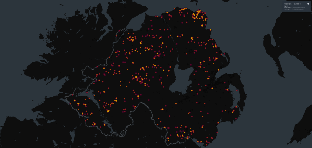
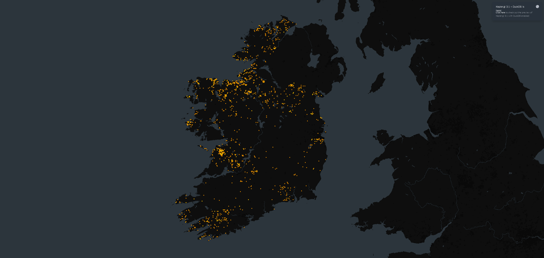
Been playing with National Monument Service (Ireland) and Open Data (Northern Ireland) to produce a few maps visualising megalithic sites across Ireland. Notice anything?
If interested in finding out more you can always see my post on megaliths here: https://www.danielkirkpatrick.co.uk/irish-history/types-of-irish-megaliths/
Posted by Sarquin
2 comments
My biggest question is why the northern half and Western half are so populated but the southeast is pretty sparse? Like is it climate, waterway access, food availability, simply easier to reach by boat from other settlements from England and Scotland areas for whatever reason? It’s definitely interesting to see how abundant and prolific those settlements are.
Why not put it all on one map?
Comments are closed.