Thanks everyone, all is ok now. Appreciate all your replies and help
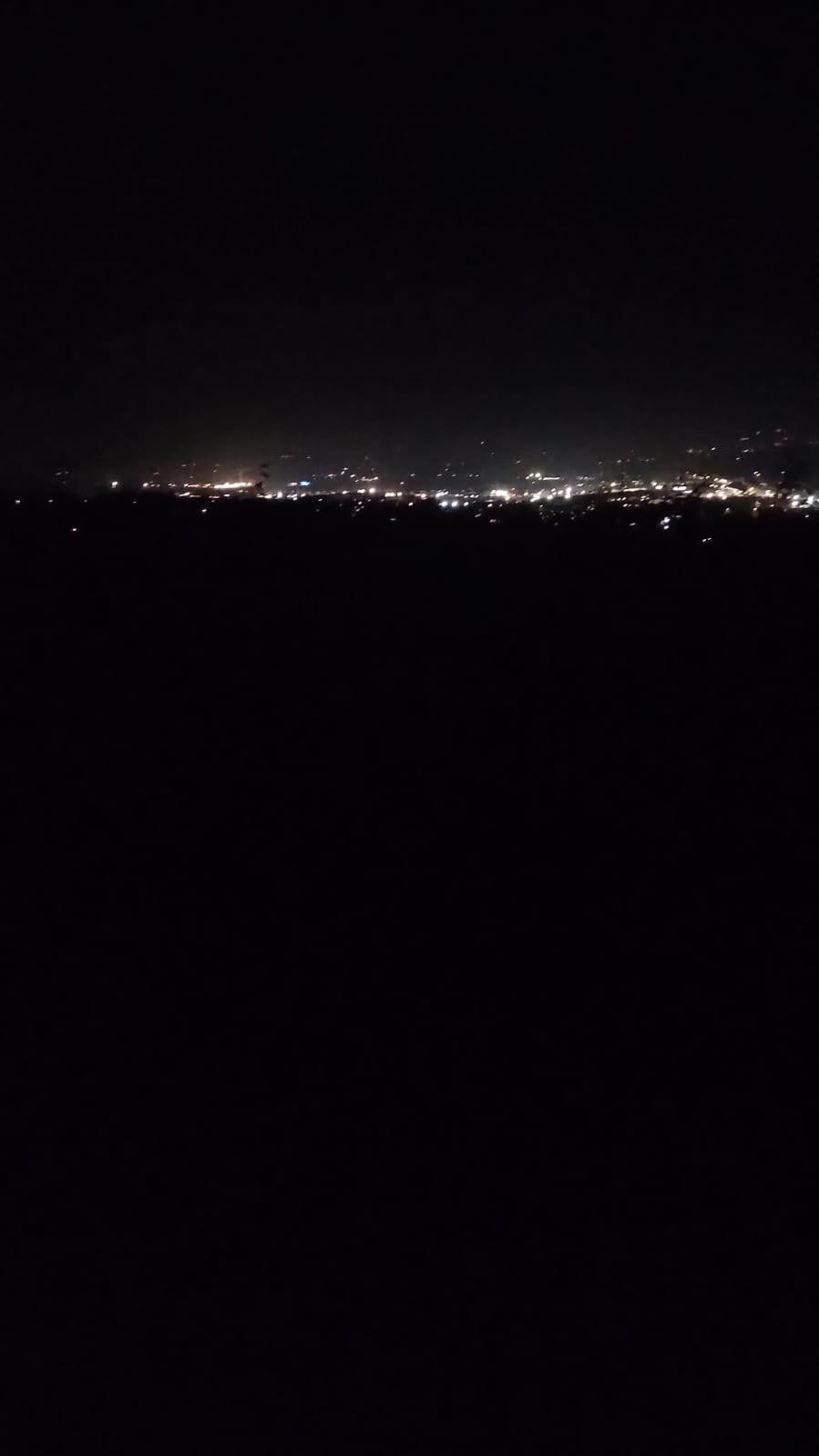
Looks like cave hill entrance up near horse shoe bend
my best guess would be Cave Hill, horseshoe bend on the Zoo side of McArts fort looking towards Carnmoney hill, not enough urban sprawl in the background to be overlooking belfast side of McArts, I think the lights you see are the M2/Antrim road arterial route. even boosting the blacks the image gives very little away.
I think that’s the view from the Belfast castle gardens
13 comments
Gosh my head is going to bad places OP. I hope everyone’s ok
Horseshoe bend I think
Context?
If you have the original put it through something like [this](https://jimpl.com/)to see if there’s any location data in the image.
Looks like the view from way up to the top of cavehill from the back road entrance
Cave hill or carmoney where the old houses used to be
Cave hill around the level of the castle carpark looks to be a similar level
Can you get the meta data from the photo op? You can get location from it usually
Could possibly along the Glas Na Bradan Wood path that is up behind St Enda’s GAC on thr Hightown Road….hope all is ok!
https://belfasthills.org/visiting/hills/glas-na-bradan-wood/
Thanks everyone, all is ok now. Appreciate all your replies and help
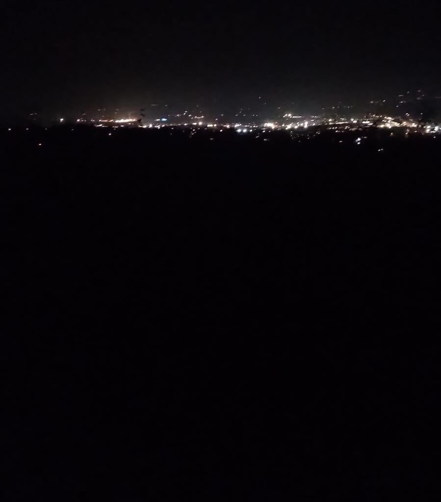
Looks like cave hill entrance up near horse shoe bend
my best guess would be Cave Hill, horseshoe bend on the Zoo side of McArts fort looking towards Carnmoney hill, not enough urban sprawl in the background to be overlooking belfast side of McArts, I think the lights you see are the M2/Antrim road arterial route. even boosting the blacks the image gives very little away.
I think that’s the view from the Belfast castle gardens
Comments are closed.