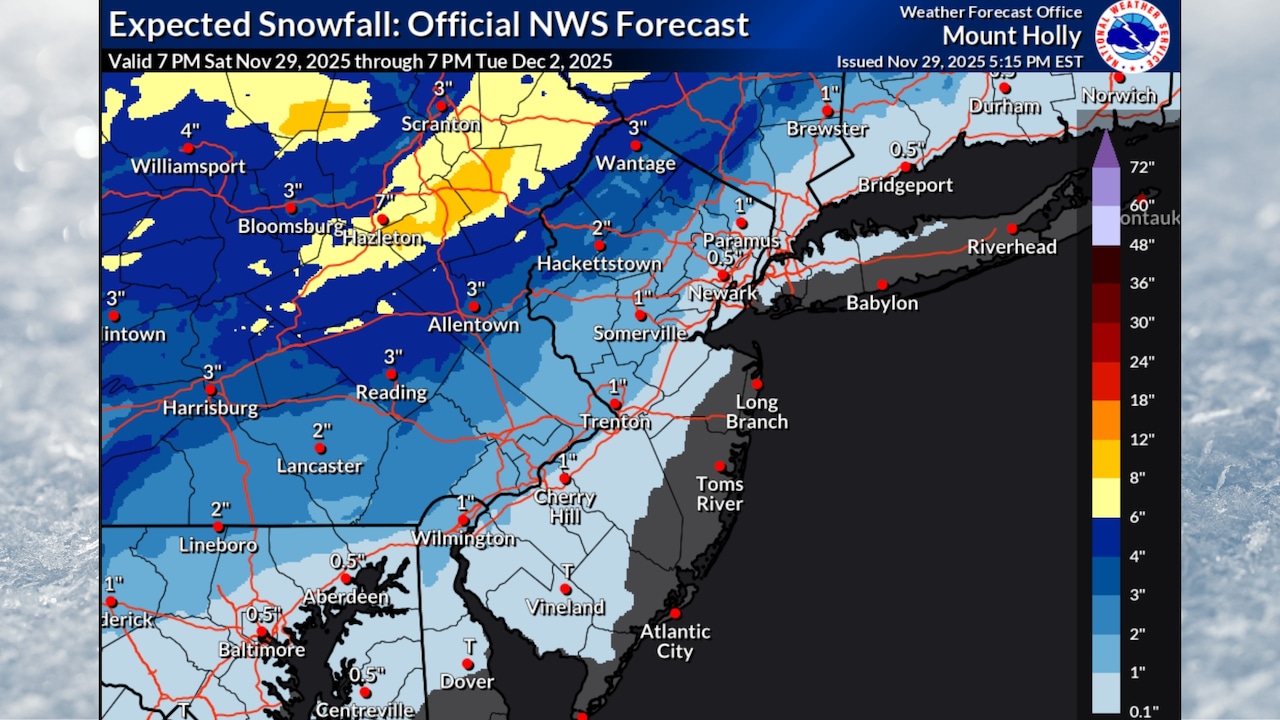
A coastal winter storm could hit northern New Jersey with 1 to 4 inches of snow on Tuesday, with the potential for 5 inches in some spots, according to the latest forecasts.
“The threat of a winter storm across the Mid Atlantic into the Northeast continues to increase for early next week,” the National Weather Service’s Storm Prediction Center said Saturday evening.
Precipitation will begin late Monday, with uncertainty remaining about exact snow amounts and the rain-snow line.
Northwestern New Jersey has the best potential for all snow, while coastal areas will likely see mainly rain.
Counties north and west of the I-95 corridor could see at least 1 inch of accumulating snow, marking the first widespread winter storm of the season.
Higher elevations in western Passaic and Sussex counties could see the most snow at nearly 5 inches.
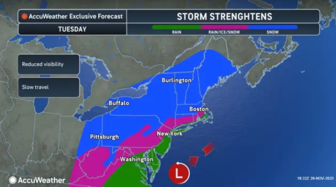 Northern New Jersey could get hit with 1 to 4 inches of snow on Tuesday, with a transition to rain in central parts of the state and all rain for southern counties.AccuWeather.com and National Weather Service
Areas through central New Jersey could see a mix of rain and snow, with some sleet possible at times.
The storm system will move quickly through Tuesday, with precipitation ending from west to east Tuesday night.
The National Weather Service notes a small change in the storm’s track could shift the rain-snow fall line.
AccuWeather’s forecast map calls for 1 to 3 inches for northwestern New Jersey.
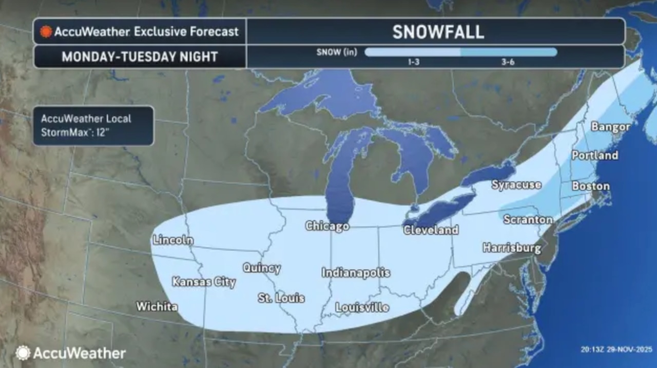 Northern New Jersey could get hit with 1 to 4 inches of snow on Tuesday, with a transition to rain in central parts of the state and all rain for southern counties.AccuWeather.com and National Weather Service
Ahead of Tuesday’s storm, rain will move into New Jersey on Sunday morning and spread across the state by afternoon, with most areas seeing light rainfall totaling 0.15 to 0.25 inches.
The precipitation will end Sunday evening as a cold front passes through.
Afternoon highs Sunday will range from the low to mid 40s in northwestern areas to upper 40s near 50 degrees in southern and coastal regions.
Monday will be dry as high pressure briefly builds over the region, with highs in the mid 30s to mid 40s.
However, clouds will increase by the second half of the day as the winter storm for Tuesday approaches.
Following the snow and rain, high pressure will build, bringing dry conditions through the rest of the week.
Temperatures will run about 10 degrees below normal throughout the period, with highs in the 30s and 40s.
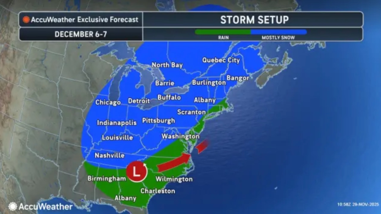 Another winter storm is possible next weekend, forecasters say.AccuWeather.com and National Weather Service
Another system may impact the area next weekend, though there is too much uncertainty at this time for specifics on precipitation type and amounts.
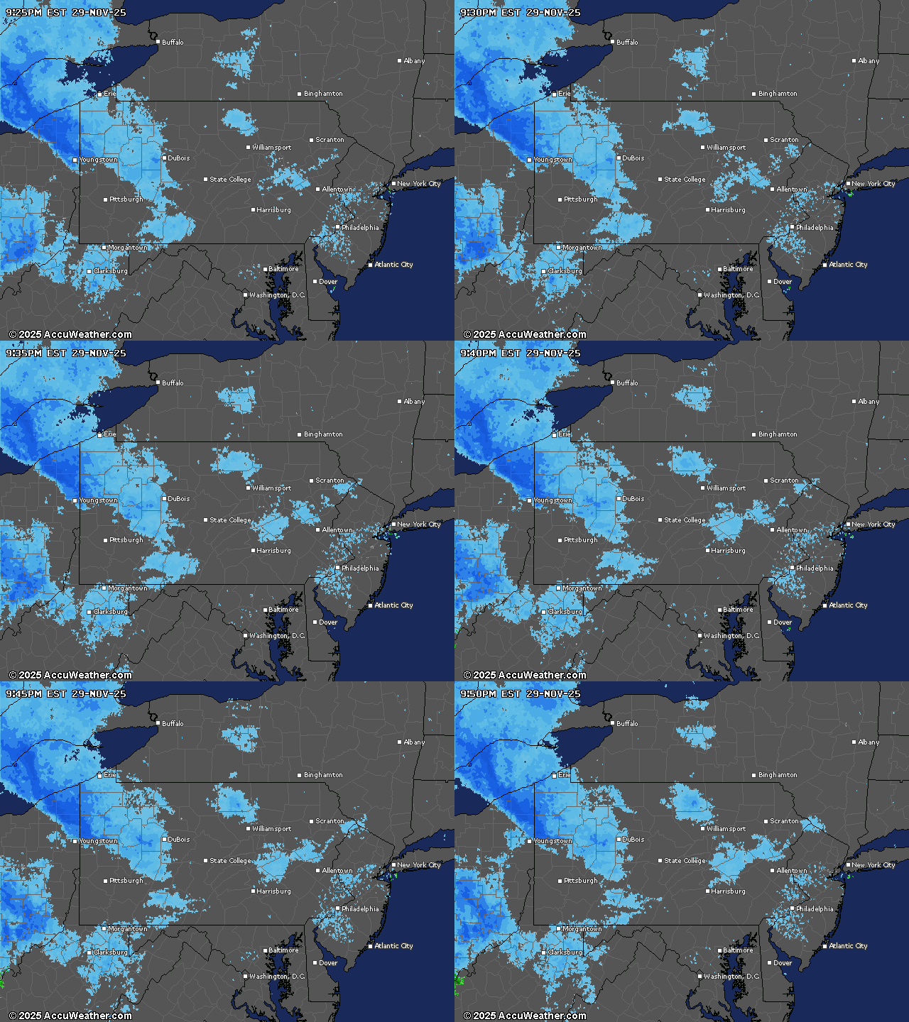
Current weather radar
