The city is testing tools that claim to spot road defects early, though they haven’t committed to any vendor.
INDIANAPOLIS — As winter weather arrives and road crews brace for another busy pothole season, Indianapolis officials are exploring whether artificial intelligence could help them get ahead of future roadway problems.
The Department of Public Works told 13News it is evaluating several AI-powered tools that claim to detect tiny defects in pavement long before they become the potholes drivers dread each year.
While the city has not signed a contract with any company, leaders say they want to understand whether this technology can help crews work more efficiently.
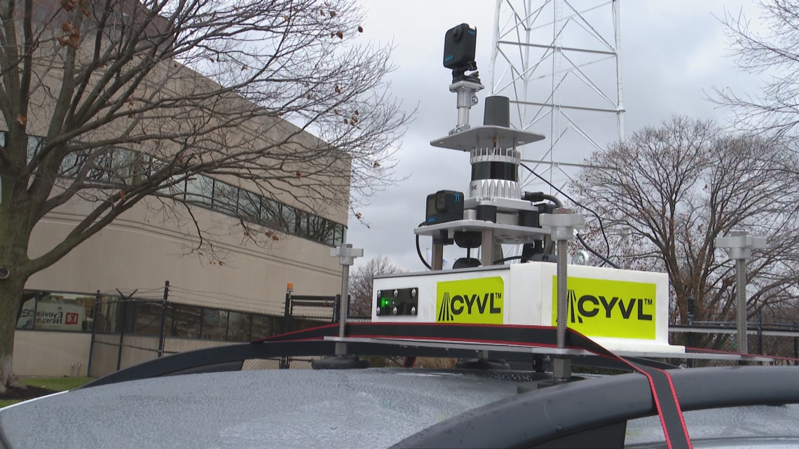
One of those companies, Boston-based Cyvl, demonstrated its road-scanning tool during a visit to Indianapolis this week.

How the A.I. tool works
Cyvl uses a suitcase-sized device equipped with two cameras and an infrared sensor. Mounted on a vehicle, the system scans pavement conditions and builds a 3D map of the roadway, flagging potential trouble spots automatically.
The company says the tool can help cities prioritize repairs and understand how quickly certain streets are deteriorating. The goal: create a dashboard that residents and city officials could both reference to identify issues sooner.
“In a perfect world, I see an ideal place and where the city and the city’s residents are kind of on the same page through a universe unified either operating system or some sort of platform or dashboard,” Cyvl account executive Jacob Moustafa said.

Indianapolis still weighing its options
DPW says it is meeting with several vendors, but has not committed to purchasing any technology.
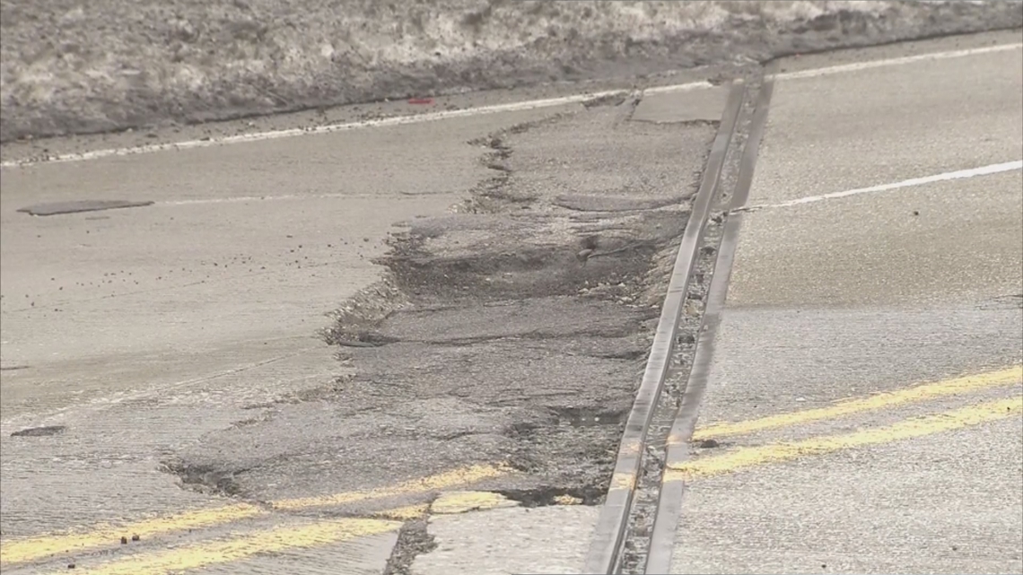
This year alone, the agency received more than 35,600 pothole complaints and says crews fixed about 98% of them, amounting to nearly 9,500 tons of asphalt mix.
Even with those efforts, officials know potholes remain a major frustration for drivers. The question now is whether AI can help them get ahead of the work.
What other Indiana communities are doing
St. Joseph County has already partnered with Cyvl to evaluate the condition of its roads. In an October meeting, county engineer Sky Medors told our sister station WNDU that the technology gave officials far more detailed information than traditional, manual inspections.
“In the past, we’ve gotten that manually, and we would drive a section of road, usually a mile section of road and make an assessment based off criteria that is provided and based off our assessment of that mile of road,” Medors said. “What this will do is give us that data every 15 feet.”

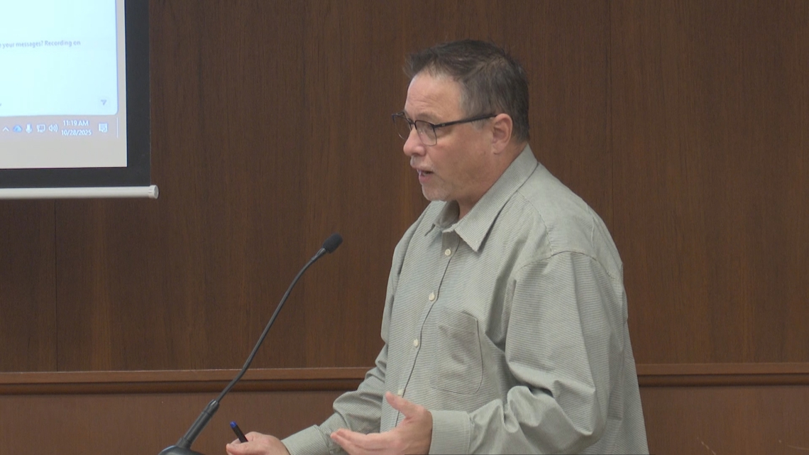
Medors said the county hopes the data will allow them to stretch existing road funding further
What it costs
Cyvl says scanning a single center-line mile of road costs between $69 and $100.
DPW leaders say they will continue meeting with vendors to determine whether any of these tools could provide value for taxpayers.