MetService said any thunderstorms are expected to be accompanied by very heavy rain and could cause flash flooding near streams, gullies and urban areas, and make driving conditions extremely hazardous.
Meanwhile, Ruapehu and Wanganui were also placed under a severe thunderstorm warning earlier today, with MetService detecting storms near Tongariro National Park, Raurimu, the hill country west of National Park, Taumarunui, Owhango, Mananui and Kaitieke.
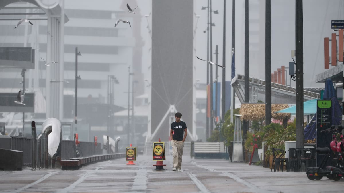
MetService forecaster Alec Holden told the Herald a low-pressure system to the northwest of the country was dragging showers across much of New Zealand.
There was a good chance of thunderstorms down the spine of the North Island “from Northland, all the way down through Auckland, into Taumarunui and into the Kāpiti-Horowhenua coast”, Holden said.
“If you’re in that corridor, from the tip to toe of the North Island, there is a decent chance you may hear rumbling in the distance.”
Meanwhile, Gisborne and Hawke’s Bay are shaping up as the places to be, the forecaster said.
“It looks quite nice with barely a drop managing to get over the ranges.
“There is a chance something may get over in southern Hawke’s Bay, but for the rest of the area, it should be quite nice.”
Holden said showers were forecast for Coromandel for most of today.
“It’s nothing to make the day awful, but the kind of deal where if you wanted to enjoy a day at the beach, there will be something lurking over the ranges to spoil your fun.”
Similar conditions are on the cards for the Bay of Plenty, Holden said.
“There are a lot of showers rolling in from the north. There is nothing particularly exciting for them, just a showery day.”
The top of the South Island is also expected to be drenched heading into the new year.
A heavy rain watch is in place 9am today to 9am tomorrow, January 1, in Richmond and Bryant ranges, including the Rai Valley.
There is also a heavy rain warning in place from 9am today to 6am tomorrow for the ranges of the Tasman District west of Motueka, with up to 130mm of rain forecast and peak rates of up to 25mm/h, along with the possibility of thunderstorms.
“The low-pressure system to the northwest is directing air flow and once it goes into the ranges, it is getting wrung out like a sponge,” Holden said.
MetService has also put Buller, and the Richmond and Bryant ranges, including the Rai Valley, under heavy rain watches, with rainfall rates of up to 25mm/h also possible in these areas.
Buller’s watch begins at 11pm and finishes at 3pm on New Year’s Day, while the watch covering the Richmond and Bryant ranges has already begun and ends at 9am.
New Year’s Eve cancellations
Palmerston North City Council has cancelled its New Year’s Eve event in The Square because of forecast severe winds.
It said the cancellation includes all entertainment and both of the planned fireworks displays.
“We are really sorry to have to make this call, especially knowing how many people were looking forward to celebrating together.”
It comes after Tauranga City Council cancelled five community New Year’s Eve events.
In a statement on Monday, the council said it decided to cancel the New Year’s Eve events as weather reports indicated “significant rain bands and strong wind gusts during event set-up, with conditions highly likely to continue into Wednesday”.
“Making the decision allows our community time to plan alternative New Year’s activities.
“Due to the cancellation, the planned road closure for The Strand on New Year’s Eve will not go ahead.”
Sign up to The Daily H, a free newsletter curated by our editors and delivered straight to your inbox every weekday.