8 January 2026
By Staff Writer
Snow Report Southern Africa have been monitoring some potentially extreme weather for the last week that has the potential to deliver significant rainfall to the eastern part of South Africa from the weekend and into next week.
Today the South African Weather Service (SAWS) issued a statement regarding the intense a low-pressure system that is expected to develop over the southern parts of Mozambique in the coming days.
This system is forecast to then move further south and is expected to bring widespread showers and thunderstorms to the north-eastern parts of the country from early morning on Saturday 10 January, persisting until Thursday 15 January.
According to the weather service there remains significant uncertainty regarding the exact placement of the core of the system, which directly influences where the heaviest rainfall is expected.
SAWS notes that while several weather prediction models place the system’s core over southern Mozambique which would result in relatively lower rainfall amounts, some models indicate it could track much closer to the country and potentially deliver rainfall totalling hundreds of millimetres in some areas.
Snow Report Southern Africa will continue to monitor weather data and SAWS communications and will update accordingly, as we always do.
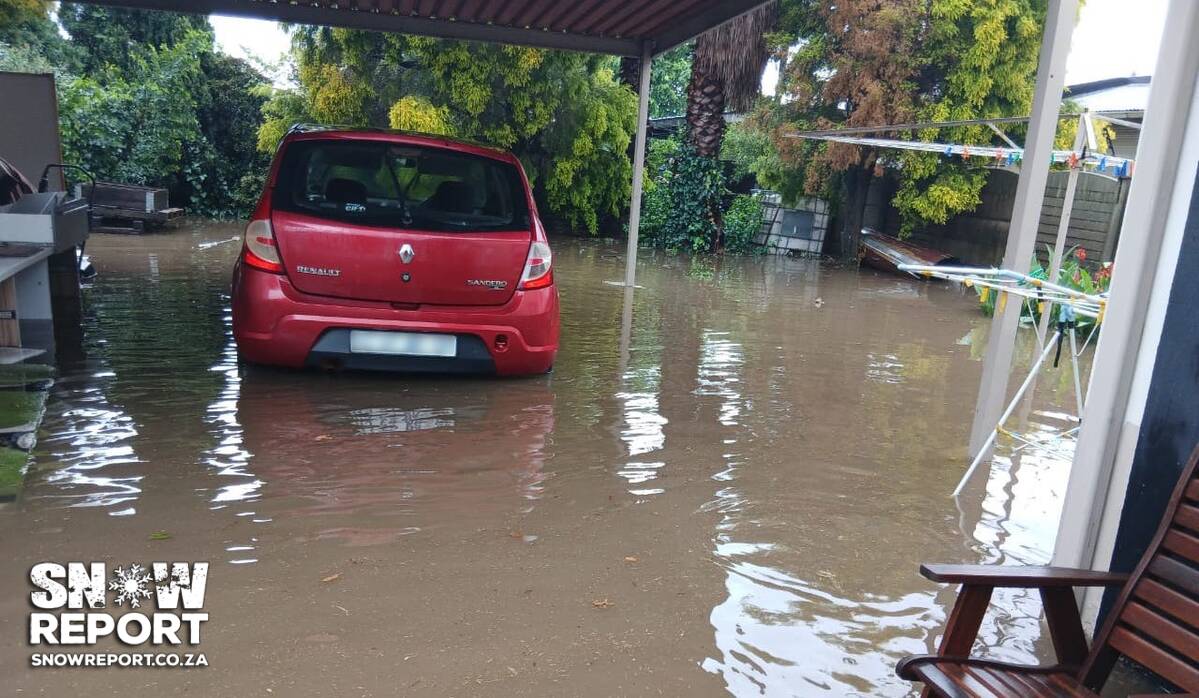
Considering the potential amount of rainfall that is POSSIBLE according to some current data, it would be wise for people in the areas that SAWS indicates are most likely to be affected including the escarpment and lowveld areas of Limpopo and Mpumalanga, as well as north-eastern KwaZulu-Natal to be prepared for the impacts of this weather and situations that could potential result from it.
Should this particular weather event unfold as some of the particular models suggest, it is vital for authorities in these areas use the time available to prepare mitigation measures in advance of the weekend while staff are still at work, particularly since large scale rain events may impact communications and logistics.
After all, we wouldn’t want to see another situation like the KZN snow disaster in 2024 where rescue efforts appeared more like a reaction despite data being available for almost a week in advance suggesting the potential scale of the incoming depth, timing and coverage of the snowfall.

Please be sure to send photos and videos to us via whatsapp and also tell us where and when they were taken.
See below for a link to our whatsapp channel but since the link does not work in the instagram app you will need to send us a whatsapp message and we’ll send you a link.
Follow our channels