
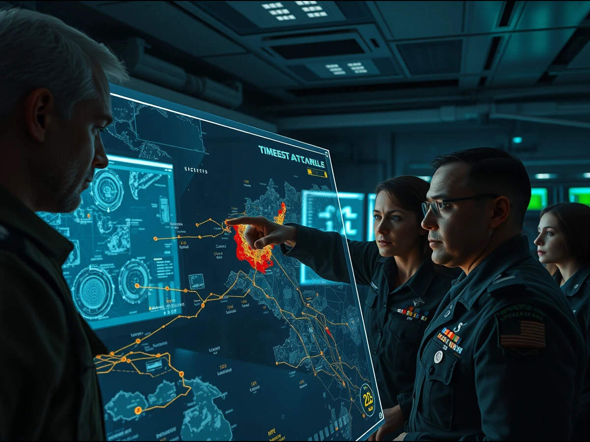
 The battlefield of today belongs to those who achieve what defence planners call decision superiority: the ability to compress the cycle from observation to understanding to action faster than an adversary can respond.
Geographic Information System (GIS) has transformed the way defence organizations plan, operate, and make decisions. The technology, coupled with AI, has brought in highly credible outcomes in a wide range of applications, including intelligence gathering, battlefield management, terrain analysis, surveillance, infrastructure management, and monitoring activities.
By providing accurate geospatial information and real-time situational awareness, GIS enhances operational efficiency, improves strategic planning, and strengthens national security.
Additionally, the integration of GIS with Artificial Intelligence (AI) enables defence systems to evolve from reactive decision-making to proactive and predictive capabilities. This convergence supports intelligent threat detection, improves resource allocation, and enables faster, data-driven strategic and tactical decisions.
India has already taken concrete steps towards integrating GIS and AI into its defence ecosystem through initiatives such as the Indian Army’s SANJAY and Avgat projects.
SANJAY is a battlefield surveillance system that integrates multiple surveillance inputs with AI to deliver real-time battlefield awareness and enable faster, informed decision-making. Avgat enhances multidomain spatial awareness by integrating satellite imagery, weather information, terrain data, and other geospatial datasets into a common operational platform.
Together, these initiatives demonstrate how GIS and AI are already strengthening India’s defence capabilities, though much more remains to be explored and used.
Providing a Common Operational Picture
GIS provides a Common Operational Picture (COP), a comprehensive visual depiction of a specific geographical area that enables users to quickly orient and visualize their threat, risk mission space and vulnerability assessments, and planning of defence objectives and missions can be done more realistically on three-dimensional model simulations. Also, overlaying information like the weather picture, order of battle, intelligence reports and potential hot spots enable better analyses and decision-making.
A COP that can be accessed by different levels of command simultaneously allows synchronized conduct of operations more flexibly and rapidly. It can be interoperable and provides a modern IT framework that supports an agile enterprise.
Enhanced Terrain Analysis
The ability to provide real-time or near real-time data about the terrain has always been a goal of the defence intelligence community. Terrain analysis can be carried out more conveniently, efficiently, and accurately using the advanced capabilities of GIS.
GIS provides powerful tools for the collection, storage, manipulation, analysis, visualization, and dissemination of spatial data required for defence planning and operations. These capabilities make GIS an ideal platform for developing and implementing advanced terrain analysis models, such as slope analysis, aspect analysis, shaded relief, line-of-sight analysis, arc-of-fire analysis, and real-time 3D fly-through simulations. Such analyses improve situational awareness, support mission planning, and enhance operational decision-making in defence environments.
Digital Twins for Defence Operations
Using 3D visualization, defence personnel can generate highly realistic digital environments, including flythroughs and walk-throughs, that support navigation, target identification, asset management, mission planning, and simulation. These digital twin-like environments provide significant value for training and preparedness. Esri’s ArcGIS Reality empowers militaries to rapidly transform drone and satellite imagery into authoritative 2D maps and 3D digital twins.
GeoAI in Defence
GeoAI (Geospatial AI) fuses AI with geospatial data to enable defence forces to rapidly analyze massive data volumes, detect threats, and uncover actionable insights across multi domain operations. It transforms intelligence production cycles from days to minutes, critical for tactical decision-making.
An AI Assistant in GIS can help defence users to discover information, analyze terrain, generate insights, automate workflows, and support operational decisions. It can become a geospatial mission partner that works on trusted defence data rather than just a general chatbot.
Going Steady in Offline Mode
Uniform offline base maps are important for defence operations because defence forces often operate in environments where connectivity is limited, denied, disrupted, or intentionally restricted. A common, standardized offline base map ensures that all units have the same geospatial reference for planning, coordination, and decision-making. Esri India’s Indo ArcGIS Raster Basemap and Vector Basemap can help the defence personnel in addressing these challenges.
GIS Across the Defence Value Chain
As the discussion unfolds, GIS transforms defence operations by enhancing situational awareness, strengthening mission planning, improving logistics, enabling asset tracking, managing critical infrastructure, and supporting commanders with timely, data-driven decision-making.
Before launching defence operations, planners evaluate terrain, elevation, vegetation, transportation networks, weather conditions, and potential obstacles. GIS, by enabling integration of this diverse information into a comprehensive operational picture, allows commanders to identify the safest routes, optimal deployment locations, and tactical advantages.
As defence operations become increasingly data-intensive, GIS serves as the digital foundation that connects information from diverse sources into a single operational environment. The result is faster planning, reduced operational risks, and improved mission success. Beyond mission planning, GIS supports logistics management, movement of assets, infrastructure monitoring, and coordination across multiple defence agencies.
Modern warfare has fundamentally changed its character. The battlefield of today belongs to those who achieve what defence planners call “decision superiority”: the ability to compress the cycle from observation to understanding to action faster than an adversary can respond. GIS and Geospatial AI are the technologies that make this possible, integrating vast streams of geospatial and operational data into actionable geospatial intelligence that enables faster, more informed decisions.
Geospatial Intelligence is no longer optional; it is a strategic necessity for national security.
(Disclaimer: Views expressed are personal)
Published On Aug 2, 2026 at 11:30 AM IST
Join the community of 2M+ industry professionals.
Subscribe to Newsletter to get latest insights & analysis in your inbox.
All about ETGovernment industry right on your smartphone!
