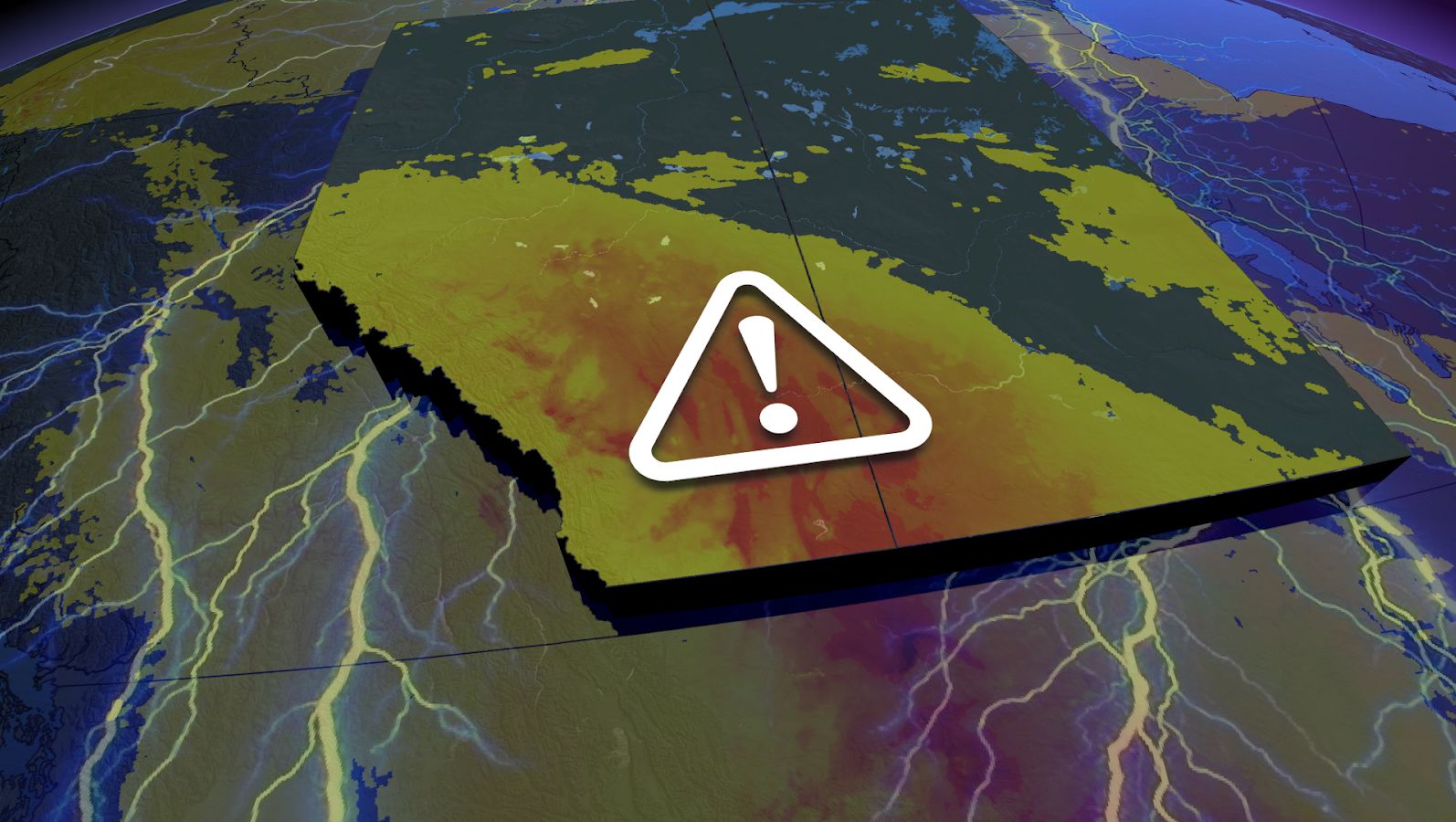
The weekend could end on a stormy note for parts of Alberta and Saskatchewan with a renewed risk for severe weather.
A threat of thunderstorms will cover much of the two provinces, with a swath of severe potential stretching from north-central Alberta to southern Saskatchewan. The main hazards will be large hail, strong wind gusts up to 90 km/h and heavy rain.
READ IT HERE: Alberta experiences a rare wildfire-free August after record-breaking rainfall
Please keep up with the latest watches and warnings in your area. Take immediate action if a warning is issued for your location.
Sunday storm risk bubbles up in Alberta, Saskatchewan
Ridging south of the border has pulled away from the Rockies and is now shifting the heat onto the central Prairies.

That transition is allowing the low that formed over B.C. on Saturday to move into Alberta, continuing to strengthen as it treks east.
A developing front will be the needed trigger to spark any strong storms from Edmonton, Alta., to south-central Saskatchewan.
The main hazards will be large hail, strong wind gusts up to 90 km/h and heavy downpours.

The incoming rain will continue to add to the wettest summer on record for Edmonton, which is currently sitting at 562 mm of rainfall (approximately 350 mm above normal).
A developing cold front will then cut into the heat across central Prairies to start the week, noticeably dropping temperatures.

Daytime high temperature drop from Sunday to Monday
Stay with The Weather Network for forecast updates in Alberta and Saskatchewan.
WATCH: Rainfall smothers the wildfire season in Alberta