A weather warning for severe gale force winds has been issued for the Channel Islands.
The Jersey Met Office said on X southeast winds of force seven were expected soon, veering west to southwest, with gusts reaching up to 65 knots from Thursday morning across the Channel Islands shipping area.
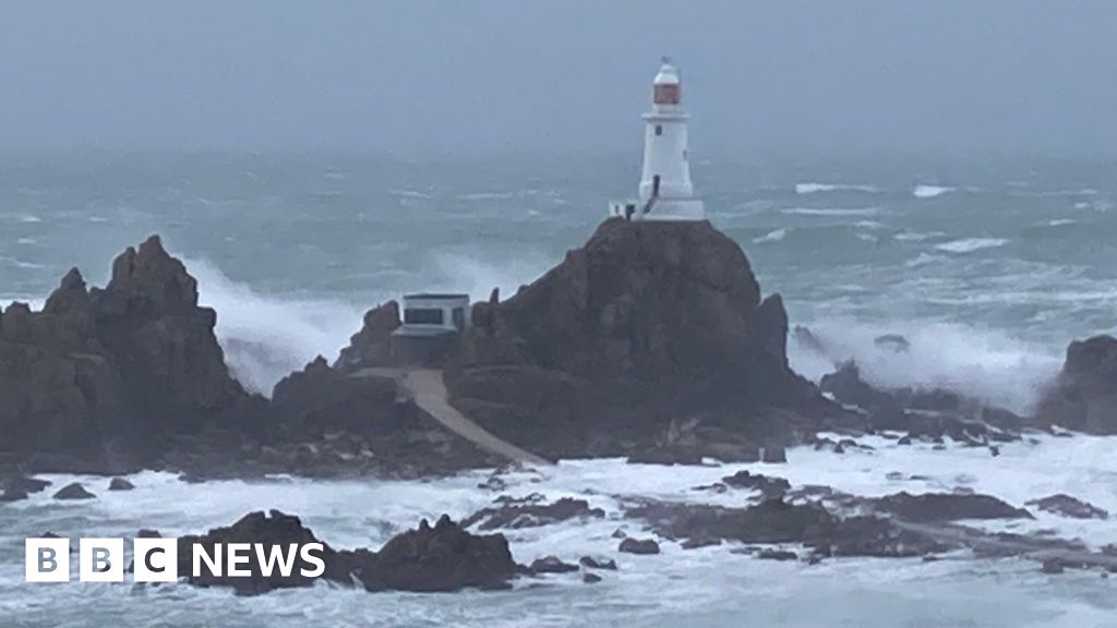
The weather office predicted Jersey and Guernsey could have gusts of 60mph (96.5km/h) on Thursday morning overland, with conditions described as “rather cloudy with blustery showers and some sunny spells possible”.
The warning was issued shortly after Storm Benjamin was named by Météo France, with the most severe conditions expected to affect France, Belgium and the Netherlands.
Forecasters predicted wind gusts would go down to 55mph (88.5km/h) from Thursday afternoon with sunny spells and “the odd blustery shower”.
They said conditions should start to clear with some showers and gusts of 45mph (72.4km/h).
In its wind warning, Jersey Met Office said people should avoid outside activities and follow the advice issued by the authorities.
“Winds are ramping up from light to (possibly) severe gale force over the next 15 hours,” it said.
“Although we’re not likely to see those strengths over the land, now is a good time to secure anything loose in your garden.”
The Government of Jersey said the strongest winds on land were likely to happen during the early hours, but gusts would remain breezy and potentially gale force throughout Thursday.
“There is a risk of tree damage or debris on the roads on Thursday morning, so please drive with caution,” a government spokesperson added.
Guernsey Harbours advised boat owners to make sure vessels were secured before the gusts hit the area.
It said the worst of the weather was expected to pass by the evening, but conditions could remain windy going into the weekend.