It caused widespread destruction in the Caribbean, but will lose intensity as it moves across Atlantic
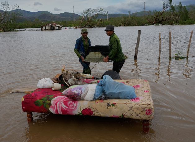
It caused widespread destruction in Jamaica, Cuba and Haiti and the death toll is rising.
By the time Melissa reaches Ireland by Sunday or Monday, it will no longer be a hurricane.
Met Éireann has forecast some heavy rain, but other climate experts believe it will be a storm.
A Status Yellow gale warning is in place until 9am today for Valentia to Erris Head to Malin Head.
There is also a Status Yellow gale warning from Fair Head to Wicklow Head and to Mizen Head and on the Irish Sea from 7am until 1pm.
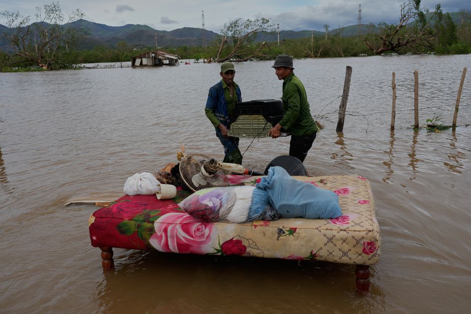
People recover belongings from a home flooded by Hurricane Melissa in Santiago de Cuba. Photo: AP
Today’s News in 90 Seconds, Friday October 31
Dr Samantha Hallam, an ocean and climate scientist at Maynooth University, said it is “difficult to tell regarding the storm strength for Ireland currently”.
She added, however, that the country could experience gusts of up to 83kmh by Monday morning.
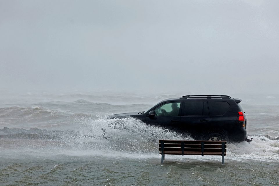
Flooding in Galway during Storm Amy earlier this month
Peter Croot, a professor at the school of natural sciences at the University of Galway, said Melissa will track north and then north-east of Ireland, but “it is unclear yet what strength it will have”.
Prof Croot said Melissa could arrive as early as Sunday, but it will “likely” be a “large storm system, no longer hurricane strength”.
He said there is a potential for “high winds, rain and storm surges”.
Prof Croot said this would mostly affect the west coast, “based on the current predicted track, but this could change”.
An increase in severe storms is a signal to Ireland to implement better storm protections, climate experts said.
“Ireland should be preparing for more ex-tropical storms in August to October annually,” Dr Hallam said.
With ocean temperatures rising in the Caribbean, this could lead to an increase in hurricanes in general
Prof Croot said increasingly warmer Caribbean waters will “result in likely stronger hurricanes in future and could result in more interaction with Ireland”.
A recent study led by Dr Hallam and featured in the journal Nature found tropical cyclones were more likely to curve northwards when the tropical Atlantic is particularly warm.
With ocean temperatures rising in the Caribbean, this could lead to an increase in hurricanes in general.
Storm Eowyn’s impact last January suggests more needs to be done to prepare for storms by making electrical and water services and other infrastructure more resilient, Prof Croot said.
Communications Minister Patrick O’Donovan has outlined continuing work to improve emergency response and resilience standards in telecommunications networks following Eowyn.
The storm had an unprecedented impact on networks across the country, and delays in repairing overhead lines in some areas had significant effects on households, particularly in rural areas,
Since then, the Government and the Commission for Communications Regulation have undertaken “significant engagement to address gaps in sectoral preparedness and response”, the department said.