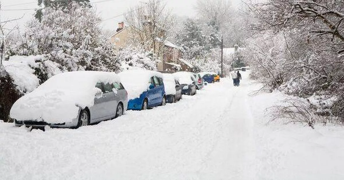
The worst affected areas have been confirmed A cold snap will blast Ireland and the UK over the next couple of days (Image: Getty Images)
Four Irish counties are bracing for a snowstorm which could last as many as three days, experts have warned.
The UK is set to feel the full force of this system with as many as 22 counties being warned of what’s to come.
The worst of the weather is expected to occur from Wednesday, 10 December, through until Friday, 12 December. In Ireland, Antrim, Down, Fermanagh and Tyrone will face the worst of the snowstorm.
Read More: Next shoppers snapping up ‘flattering’ €13 vest in all seven colours
Read More: Major changes to upcoming social welfare payments in December and new year
Ian Simpson, from Netweather TV, said: “Some model runs are seeing Britain develop an easterly airflow.”
“But typically a south-easterly type with the air masses coming from south-eastern Europe, which is looking set to remain mild for the time of year.
“Generally the blocking high looks set to be centred especially over eastern Scandinavia and western Russia, which is too far east to make it the dominant factor in Britain’s weather – typically for a cold easterly type to develop you need the Scandinavian high to start ridging westwards towards Greenland and Iceland.
“The first half of December has potential to be very wet in western Britain, where rain bearing frontal systems have potential to become slow moving at times as they push against the Scandinavian blocking high.”
The first half of December could also be quite dull.
“Some mild and changeable Decembers come out with above average sunshine, especially in eastern Britain, but these are typically the ones where frontal systems move freely from west to east and are often separated by periods of bright and showery weather with polar maritime air masses.”
Mr Simpson further added: “The first half of December 2025 looks more likely to be dominated by slow moving fronts and spells of rather grey and at times misty or foggy weather in between.”
The Met Eireann forecast for Monday night and Tuesday has also been released.
Monday night
A cold night with long clear spells and a touch of frost possible. Rain and drizzle in Ulster will eventually clear northeastwards early on tonight. It will be dry for many overnight with scattered showers mainly affecting western coastal counties. Lowest temperatures of 1 to 5 degrees with mostly light to moderate southerly winds.
Tuesday
A bright, breezy and rather cold day on Tuesday with sunny spells and some showers. The showers will mainly affect western parts, while the best of the sunny spells will be further east. Some of the showers will be heavy with the risk of hail and thunder. Highest temperatures of 6 to 9 degrees with mostly moderate southwest winds, fresher near coasts.
Galway Beo’s top stories and breaking news service on WhatsApp. Click this link to receive breaking news and the latest headlines direct to your phone.
We also treat our community members to special offers, promotions, and adverts from us and our partners.
If you don’t like our community, you can check out any time you like. If you’re curious, you can read our Privacy Notice.