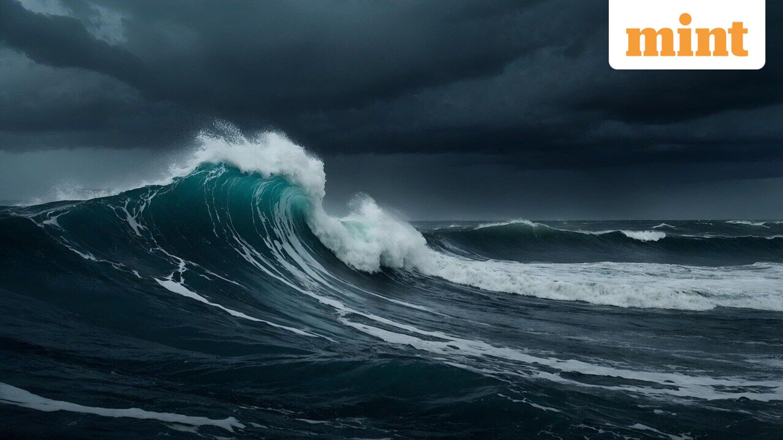
Scientists, using satellite data, have captured a tsunami in greater detail than ever before, and this newfound understanding could pave the way for better and more accurate tsunami forecast models, which could benefit coastal communities.
The new revelations about tsunamis came to light courtesy of the Surface Water and Ocean Topography (SWOT) satellite, launched jointly in 2022 by NASA and the French space agency Centre National d’Etudes Spatiales (CNES).
The fresh, detailed glimpse into the geophysical phenomenon came after SWOT captured the tsunami sparked by the massive 8.8 magnitude earthquake that struck off the coast of Russia’s Kamchatka peninsula on July 30 this year.
As the tsunami waves travelled across the ocean, SWOT was able to track it a mere 70 minutes after the earthquake struck.
“The power of SWOT’s broad, paintbrush-like strokes over the ocean is in providing crucial real-world validation, unlocking new physics, and marking a leap towards more accurate early warnings and safer futures,” said Nadya Vinogradova Shiffer, NASA Earth lead and SWOT program scientist.
In this case, SWOT’s data on the tsunami helped scientists get a multidimensional look at the leading edge of the tsunami wave triggered by the Kamchatka earthquake.
The data revealed that the pattern of propagation and scattering of a tsunami was far more complex than previously thought: while tsunamis had long been assumed to be non-dispersive, meaning that they mostly hold together as a single wave, data from SWOT showed that the tsunami broke up as it travelled into a large leading wave and smaller trailing waves.
I think of SWOT data as a new pair of glasses. Before, with DARTs we could only see the tsunami at specific points in the vastness of the ocean. There have been other satellites before, but they only see a thin line across a tsunami in the best-case scenario,” lead author of the study Angel Ruiz-Angulo was quoted as saying by ScienceAlert.
Ruiz-Angulo further explained that with SWOT, scientists can now capture high resolution data of the sea surface in swath up to 120 kilometres wide.
Why does it matter?
NASA said that tsunami measurements captured by SWOT can help scientists at NOAA’s Center for Tsunami Research improve their forecast models, which, in turn, can lead to more accurate and timely alerts to coastal communities threatened by tsunamis.
Data provided by SWOT on the height, shape, and direction of tsunami waves will be key in this endeavour: “The satellite observations help researchers to better reverse engineer the cause of a tsunami, and in this case, they also showed us that NOAA’s tsunami forecast was right on the money,” said Josh Willis, a NASA Jet Propulsion Laboratory (JPL) oceanographer.