The curtain appears to be coming down on Ireland’s summer with heavy rain across the east on Wednesday morning leading the country into more unsettled and somewhat colder conditions as the week progresses.
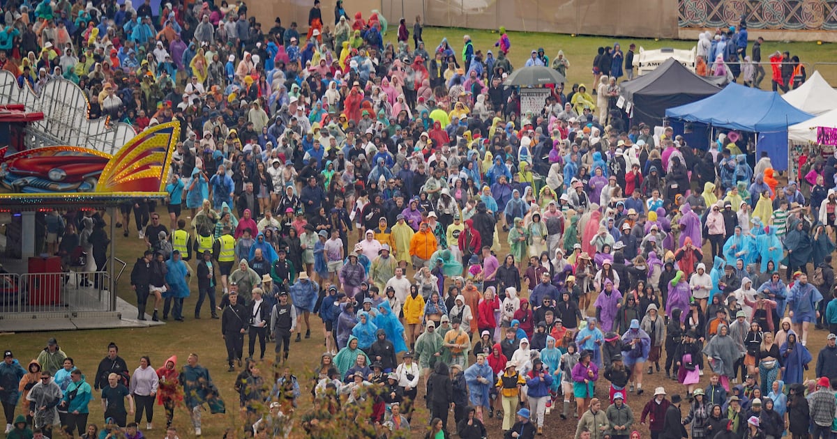
While it is too early to definitively say, people heading to the Electric Picnic in Stradbally on Friday would do well to pack their wellies and ponchos with some rainfall looking all but inevitable over the weekend.
A band of heavy thundery rain with local lightning is washing over northern and eastern counties this morning, but will quickly give way to sunny spells and scattered heavy showers with most of them affecting Atlantic counties, merging to longer spells of rain with lightning a possibility.
Later in the day, the showers will extend further east with temperatures of 16 to 21 degrees with the warmest weather likely in Leinster.
Wednesday night will bring further scattered heavy showers, again merging to longer spells of thundery rain across Atlantic counties with spot flooding. While it will be drier to the east, a few showers will arrive later with temperatures of between 10 and 13 degrees.
Thursday will see low pressure move in across the country, bringing blustery southwesterly winds and frequent showers, merging to longer spells of rain with local lightning and spot flooding, especially across northwest counties.
It is also set to be a little cooler with highest temperatures of 15 to 20 degrees.
Friday will be showery and breezy and while many areas will dry on Friday night rain will arrive into south and western area before dawn on Saturday.
According to Met Éireann, there is a degree of uncertainty for the weekend l but there is the potential for some significant rainfall and blustery winds, particularly during Saturday with temperatures ranging from the mid to high teens.