The warning is the latest in a series issued by the national forecaster as an Arctic blast hits the country
The latest warning by the national forecaster predicts wintry showers with accumulations of snow with “sharp or severe frost and ice”.
The warning is valid until 11am tomorrow and will affect all counties of Connacht, as well as Cavan, Donegal, Monaghan and Louth.
🟡Low Temperature/Ice⚠️Munster Carlow Dublin Kildare Kilkenny Laois Longford Meath Offaly Westmeath Wexford Wicklow
⏳18:00 Sat▶️11am Sun
⌛️17:00 Sun▶️11am Mon
🟡Snow/Ice⚠️Cavan Donegal Monaghan Connacht Louth
⏳18:00 Sat▶️11am Sun
⌛️08:22 Sun▶️11am Mon
↪️NI 12pm Sat▶️12pm Mon pic.twitter.com/cjneM4pAsj— Met Éireann (@MetEireann) January 4, 2026
The new warning adds to two ongoing Status Yellow low temperature/ice warnings. One of these is for low temperatures stretching over Munster, Carlow, Dublin, Kildare, Kilkenny, Laois, Longford, Meath, Offaly, Westmeath, Wexford and Wicklow and will be valid until 11am tomorrow.
The other warning applies to the same counties but is expected to come into effect this evening at 5pm and will expire tomorrow morning at 11am, bringing temperatures possibly as low as -5C.
Local authorities and homelessness charities have ensured additional emergency bed capacity is available in shelters amid concerns for the health and safety of anyone sleeping rough. The Simon Community has urged anyone aware of people sleeping rough to contact either support services or their local authority.
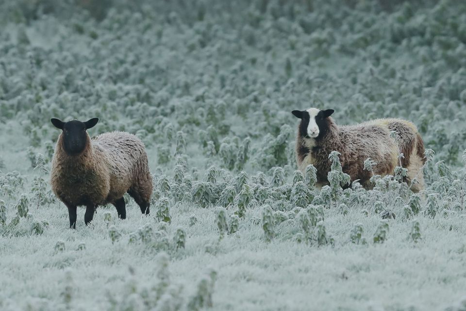
The Republic of Ireland has also been hit by heavy snow (Brian Lawless/PA)
Gardaí and the Road Safety Authority (RSA) urged motorists to drive with extreme caution over the coming days given the potential for treacherous driving conditions. While all primary roads will be treated for ice, there is concern that many secondary roads may be vulnerable to ice and heavy frost over the coming days.
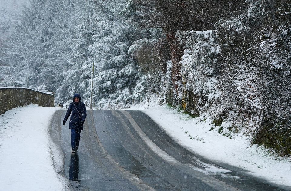
Icy conditions are expected to pick up on Sunday (Niall Carson/PA)
News in 90 seconds – January 4 2026
Met Éireann has warned of “treacherous” conditions this morning with “widespread sharp to severe frost” as “scattered wintry showers of sleet and snow” are expected across northern and western counties.
By the afternoon, the forecaster said rain will arrive in the southwest with temperatures expected to range between 1C and 5C.
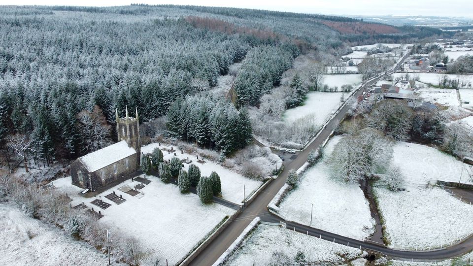
Holy Trinity Church in Bilboa, Co Carlow on Tuesday last. Photo: Niall Carson
Night time temperatures, however, may dip as low as -6C with freezing frog possible.
Tomorrow is due to be a similar day for low temperatures with more dangerous conditions anticipated as a result of the low temperatures. Overall, tomorrow is forecast to be relatively dry and sunny in most parts, with the exception of some showers confined to the northwest with daytime temperatures of 1C to 5C.
Monday night will be another freezing one as -3C temperatures are predicted.
On Tuesday, cloud and rain may turn to sleet in western counties, clearing southeastwards as the day goes on. Temperatures will improve slightly, possible rising to 8C. The evening will become cold once more, although dry, with temperatures ranging from -2C to 2C.
Wednesday is due to be a damp affair with temperatures of 1C to 4C forecast in the east but milder conditions in the west with highs of 4C to 9C.
The outlook for Thursday is not clear, but Met Éireann said rain may move over the southern half of the country with temperatures of between 2C and 6C.